Old West Austin in Travis County, Texas — The American South (West South Central)
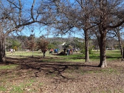
Pease Park
Inscription.
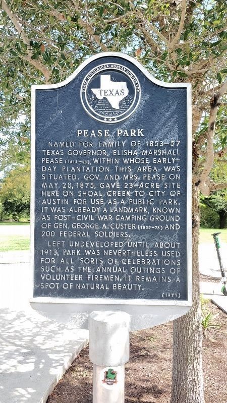
Named for family of 1853-57 Texas Governor, Elisha Marshall Pease (1812-83), within whose early-day plantation this area was situated. Gov. and Mrs. Pease on May 20, 1875, gave 23-acre site here on Shoal Creek to City of Austin for use as a public park. It was already a landmark, known as post-Civil War camping ground of Gen. George A. Custer (1839-76) and 200 Federal soldiers.
Left undeveloped until about 1913, park was nevertheless used for all sorts of celebrations such as the annual outings of volunteer firemen. It remains a spot of natural beauty.
Erected 1971 by State Historical Survey Committee. (Marker Number 15397.)
Topics. This historical marker is listed in this topic list: Parks & Recreational Areas. A significant historical year for this entry is 1875.
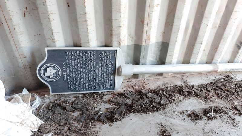
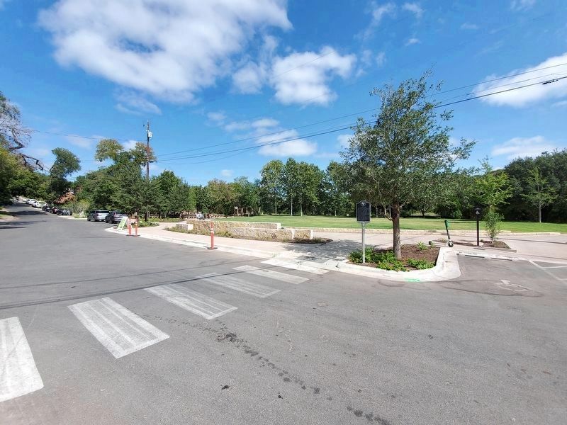
Location. 30° 16.858′ N, 97° 45.089′ W. Marker is in Austin, Texas, in Travis County. It is in Old West Austin. Marker is on Kingsbury Street west of Parkway, on the right when traveling west. Marker was temporarily in storage while park was under construction. Pease Park construction is completed and marker has been replaced. Touch for map. Marker is at or near this postal address: 1100 Kingsbury Street, Austin TX 78701, United States of America. Touch for directions.
Other nearby markers. At least 8 other markers are within walking distance of this marker. Okewell (about 500 feet away, measured in a direct line); Judge Calvin Maples Cureton (approx. 0.2 miles away); McLendon-Price House (approx. 0.2 miles away); Granger House and The Perch (approx. ¼ mile away); Carrington Bluff House (approx. ¼ mile away); Sparks House (approx. ¼ mile away); Crusemann-Marsh-Bell House (approx. ¼ mile away); Daniel H. Caswell House (approx. 0.3 miles away). Touch for a list and map of all markers in Austin.
Credits. This page was last revised on February 1, 2023. It was originally submitted on January 4, 2010, by Keith Peterson of Cedar Park, Texas. This page has been viewed 974 times since then and 42 times this year. Last updated on September 14, 2021, by Richard Denney of Austin, Texas. Photos: 1. submitted on September 14, 2021, by Richard Denney of Austin, Texas. 2. submitted on January 4, 2010, by Keith Peterson of Cedar Park, Texas. 3. submitted on February 22, 2021, by Richard Denney of Austin, Texas. 4. submitted on September 14, 2021, by Richard Denney of Austin, Texas. 5. submitted on September 3, 2015, by Renee' Lasswell of Austin, Texas. • J. Makali Bruton was the editor who published this page.
