
Desdemona in Eastland County, Texas — The American South (West South Central)
Desdemona Cemetery
Photographed by James Hulse, September 8, 2021
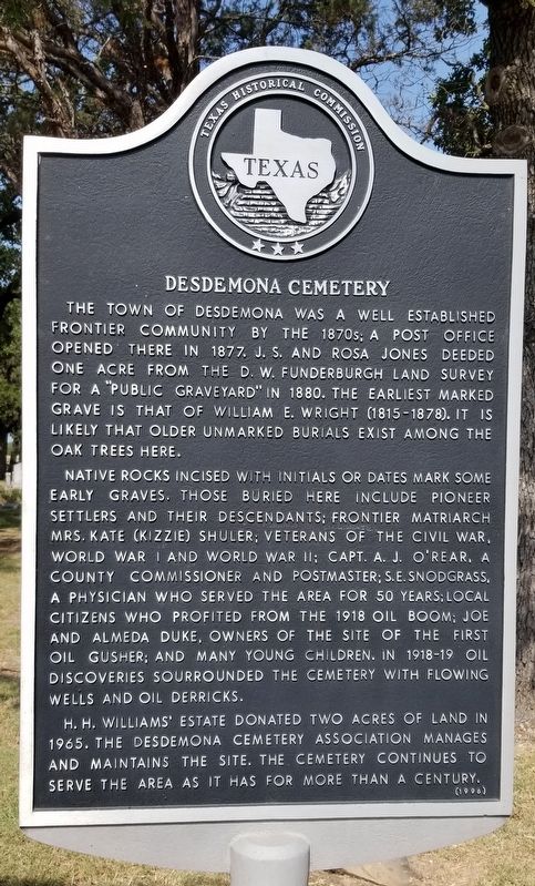
1. Desdemona Cemetery Marker
The town of Desdemona was a well established frontier community by the 1870s; a post office opened there in 1877. J.S. and Rosa Jones deeded one acre from the D.W. Funderburgh land survey for a "public graveyard" in 1880. The earliest marked grave is that of William E. Wright (1815-1878). It is likely that older unmarked burials exist among the oak trees here.
Native rocks incised with initials or dates mark some early graves. Those buried here include pioneer settlers and their descendants; frontier matriarch Mrs. Kate (Kizzie) Shuler; veterans of the Civil War, World War I and World War II: Capt. A.J. O'Rear, a county commissioner and postmaster; S.E. Snodgrass, a physician who served the area for 50 years; local citizens who profited from the 1918 oil boom; Joe and Almeda Duke, owners of the site of the first oil gusher; and many young children. In 1918-19 oil discoveries sourrounded the cemetery with flowing wells and oil derricks.
H.H. Williams' estate donated two acres of land in 1965. The Desdemona Cemetery Association manages and maintains the site. The cemetery continues to serve the area as it has for more than a century.
Erected 1996 by Texas Historical Commission. (Marker Number 12541.)
Topics. This historical marker is listed in this topic list: Cemeteries & Burial Sites. A significant historical year for this entry is 1877.
Location. 32° 15.715′ N, 98° 33.257′ W. Marker is in Desdemona, Texas, in Eastland County. It is on State Highway 16 0.6 miles south of Farm to Market Road 8, on the right when traveling south. The marker is located at the front entrance to the Cemetery. Touch for map. Marker is in this post office area: Desdemona TX 76445, United States of America. Touch for directions.

Regionally, this marker is in Big Country. Globally, it is in North America, a Gulf of Mexico
this page online
Other nearby markers. At least 8 other markers are within 11 miles of this marker, measured as the crow flies: Fort Blair, C.S.A. (approx. half a mile away); Desdemona First Baptist Church (approx. 0.8 miles away); William H. Pate (approx. 5.3 miles away); Dr. David Verle Rodgers (approx. 7.8 miles away); Site of Blackwell Hospital (approx. 7.8 miles away); Round Grove Baptist Church (approx. 9.9 miles away); Lingleville Tabernacle (approx. 10.4 miles away); Old De Leon Cemetery (approx. 10½ miles away). Touch for a list and map of all markers in Desdemona.
Photographed by James Hulse, September 8, 2021
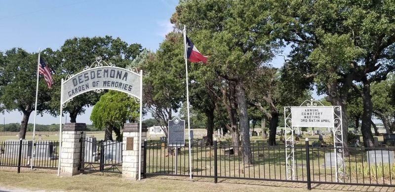
2. The front of the Desdemona Cemetery and Marker
Photographed by James Hulse, September 8, 2021
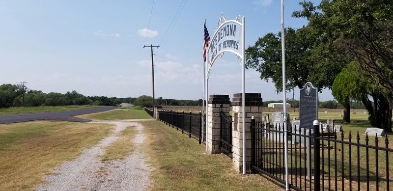
3. The view of the Desdemona Cemetery and Marker from the highway
Credits. This page was last revised on September 15, 2021. It was originally submitted on September 14, 2021, by James Hulse of Medina, Texas. This page has been viewed 1,096 times since then and 120 times this year. Photos: 1, 2, 3. submitted on September 14, 2021, by James Hulse of Medina, Texas.
