
Desdemona in Eastland County, Texas — The American South (West South Central)
Fort Blair, C.S.A.
Photographed by James Hulse, September 8, 2021
1. Fort Blair, C.S.A. Marker
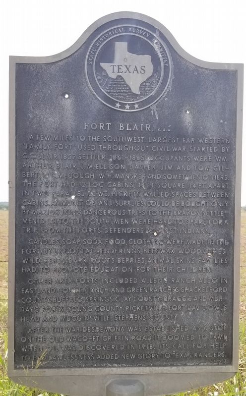
A few miles to the southwest. Largest far western "Family Fort" used throughout Civil War. Started by C.C. Blair, 1857 settler. 1861-1865 occupants were Wm. Arthur, Blair, J.M. Ellison, Jasper, Jim and Tom Gilbert, W.C. McGough, W.H. Mansker and sometimes others. The fort had 12 log cabins, 14 ft. square, 14 ft. apart in two parallel rows. Pickets walled spaces between cabins. Ammunition and supplies could be bought only by making long, dangerous trips to the Brazos settlements or to the south. Men were hard to spare for a trip, from the fort's defenders against Indians.
Candles, soap, soda, food, clothing were made in the fort, by use of fat renderings, beeswax, wood ashes, wild herbs, bark, roots, berries, animal skins. Families had to promote education for their children.
Other area forts included Allen's Ranch, also in Eastland County, Lynch and Green ranches, Shackelford County; Buffalo Springs, Clay County; Braggs and Murray's forts, Young County; Picketville, Fort Davis, Owls Head and Mugginsville, Stephens County.
After the war Desdemona was established as a stop on the old Waco-Ft. Griffin road. It boomed to fame when oil was discovered in 1918. Its call for help to end lawlessness added new glory to Texas Rangers.
Erected 1965 by State Historical Survey Committee. (Marker Number 1960.)
Topics. This historical marker is listed in these topic lists: Forts and Castles • War, US Civil. A significant historical year for this entry is 1857.
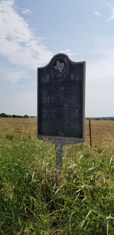
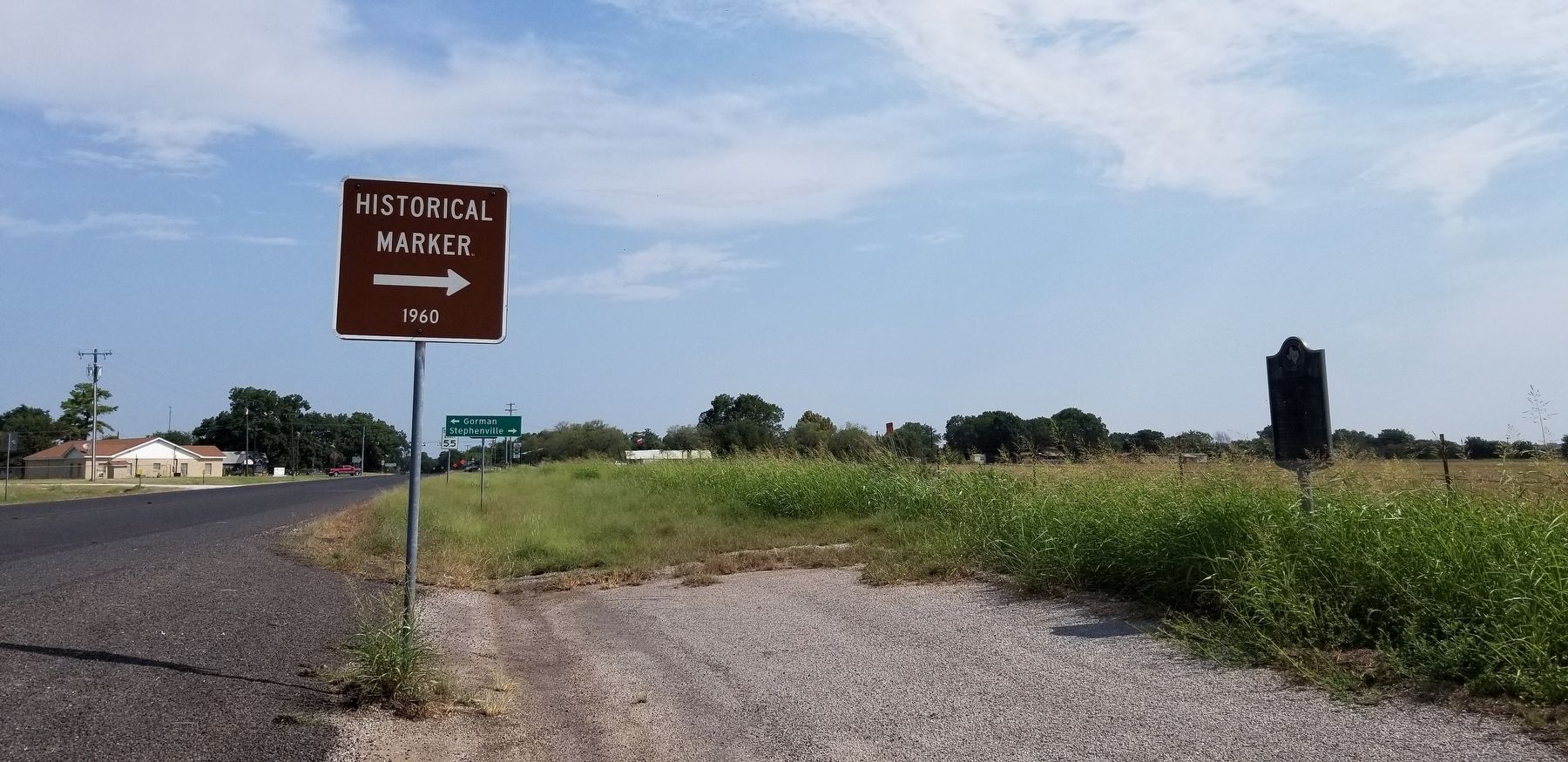
Location. 32° 16.111′ N, 98° 33.079′ W. Marker is in Desdemona, Texas, in Eastland County. It is on State Highway 16 0.2 miles south of Farm to Market Road 8, on the left when traveling south. The marker is located at a small road side pullout. Touch for map. Marker is in this post office area: Desdemona TX 76445, United States of America. Touch for directions.

Regionally,
this page online
Other nearby markers. At least 8 other markers are within 11 miles of this marker, measured as the crow flies: Desdemona First Baptist Church (approx. 0.3 miles away); Desdemona Cemetery (approx. half a mile away); William H. Pate (approx. 5½ miles away); Dr. David Verle Rodgers (approx. 8.2 miles away); Site of Blackwell Hospital (approx. 8.2 miles away); Round Grove Baptist Church (approx. 10.2 miles away); Lingleville Tabernacle (approx. 10.3 miles away); Lingleville (approx. 10.6 miles away). Touch for a list and map of all markers in Desdemona.
Also see . . . Blair's Fort.
Settlers were forced to come together for mutual protection, and forted ranches were established. At Blair's Fort twelve log cabins were built; tents were stretched around an open square, and all was enclosed by a fence eight or ten feet high.(Submitted on September 14, 2021, by James Hulse of Medina, Texas.)During the time the fort was used eight families found protection there. The fort was also a frequent stopping place for Texas Rangers on their journeys; large supplies of food and ammunition were kept on hand. Source: The Handbook of TexasPhotographed by James Hulse, September 8, 20212. Fort Blair, C.S.A. Marker
Photographed by James Hulse, September 8, 2021
3. The view of the Fort Blair, C.S.A. Marker from the highway
Credits. This page was last revised on September 15, 2021. It was originally submitted on September 14, 2021, by James Hulse of Medina, Texas. This page has been viewed 1,052 times since then and 93 times this year. Photos: 1, 2, 3. submitted on September 14, 2021, by James Hulse of Medina, Texas.
