Near Skipperville in Dale County, Alabama — The American South (East South Central)
Salem Baptist Church
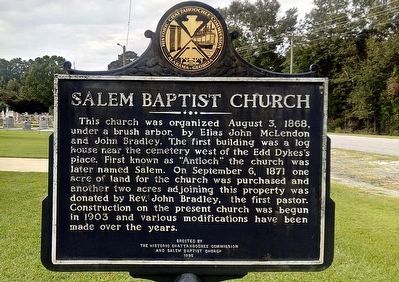
Photographed by James L.Whitman, August 18, 2021
1. Salem Baptist Church Marker
Erected 1995 by the Historic Chattahoochee Commission and Salem Baptist Church.
Topics. This historical marker is listed in these topic lists: Cemeteries & Burial Sites • Religion & Religious Structures. A significant historical date for this entry is August 3, 1868.
Location. 31° 36.874′ N,
this page online

Regionally, this marker is in the American South, specifically in the Deep South, and in the Wiregrass. Globally, it is in North America, a Gulf of Mexico state, the Western Hemisphere, the Western World, and the Anglosphere. Historically, it finds itself in what was once the territory of the Mississippian Culture, one of the Confederate States of America, and the Antebellum South.
Other nearby markers. At least 8 other markers are within 7 miles of this marker, measured as the crow flies: Union Presbyterian Church / Founders and Early Pastors (approx. 3.8 miles away); Union (Arguta) Cemetery (approx. 3.9 miles away); Peniel Baptist Church (approx. 3.9 miles away); Pea River Electric Membership Corporation (approx. 4.8 miles away); Morgan Baptist Church / Church Pastors (approx. 5 miles away); Bethel Primitive Baptist Church (approx.
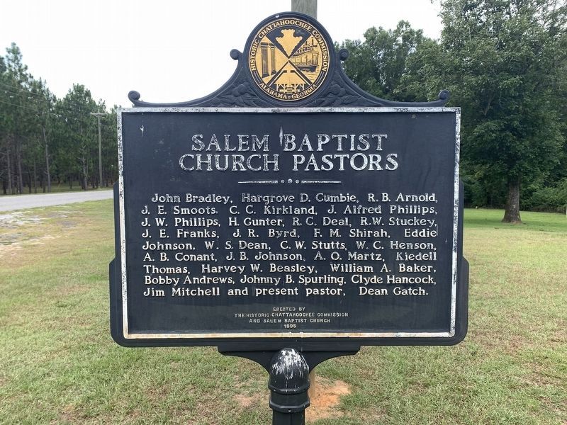
Photographed by Tim Fillmon, June 29, 2022
2. Salem Baptist Church Pastors side of Marker
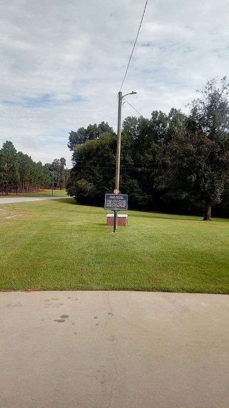
Photographed by James L.Whitman, August 18, 2021
3. Salem Baptist Church Marker
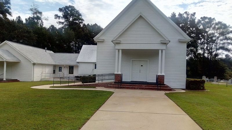
Photographed by James L.Whitman, August 18, 2021
4. Salem Baptist Church Marker
Credits. This page was last revised on July 15, 2022. It was originally submitted on September 19, 2021, by James L.Whitman of Eufaula, Alabama. This page has been viewed 804 times since then and 42 times this year. Photos: 1. submitted on September 19, 2021, by James L.Whitman of Eufaula, Alabama. 2. submitted on July 15, 2022, by Tim Fillmon of Webster, Florida. 3, 4. submitted on September 19, 2021, by James L.Whitman of Eufaula, Alabama. • Mark Hilton was the editor who published this page.
