West Old Town in Albuquerque in Bernalillo County, New Mexico — The American Mountains (Southwest)
The Vineyard
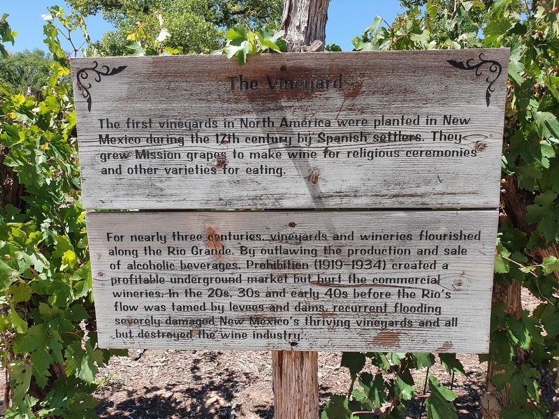
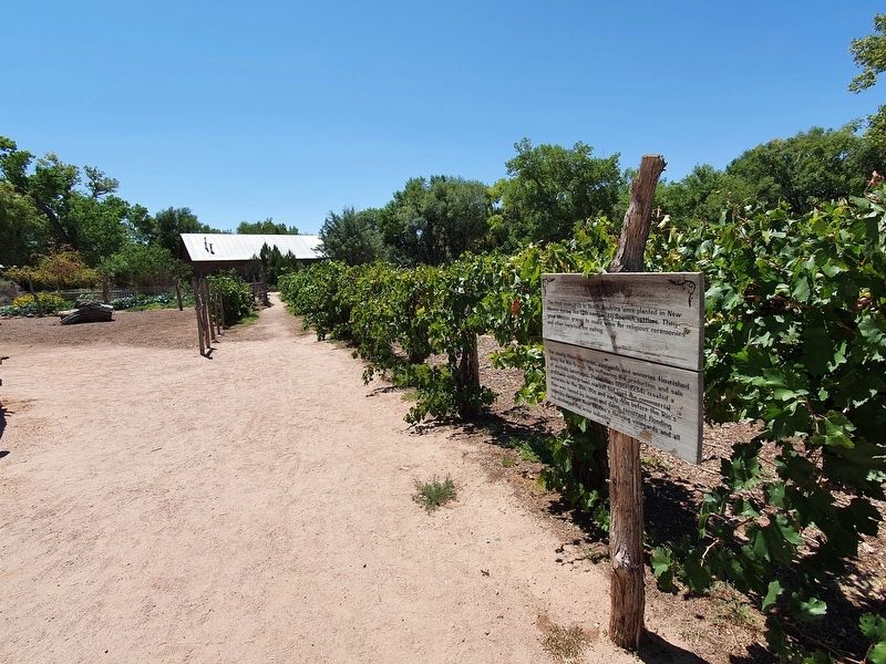
The first vineyards in North America were planted in New Mexico during the 17th century by Spanish settlers. They grew Mission grapes to make wine for religious ceremonies and other varieties for eating.
For nearly three centuries, vineyards and wineries flourished along the Rio Grande. By outlawing the production and sale of alcoholic beverages, Prohibition (1919-1934) created a profitable underground marker but hurt the commercial wineries. In the 20s, 30s and early 40s before the Rio's flow was tamed by levees and dams, recurrent flooding severely damaged New Mexico's thriving vineyards and all but destroyed the wine industry.
Topics. This historical marker is listed in these topic lists: Agriculture • Colonial Era • Industry & Commerce.
Location. 35° 5.712′ N, 106° 40.982′ W. Marker is in Albuquerque, New Mexico, in Bernalillo County. It is in West Old Town. Marker can be reached from Central Avenue SW north of Tingley Drive SW, on the left when traveling north. The marker is at the Rio Grande Heritage Farm at the western side of the ABQ BioPark. A fee is required to access the site. Touch for map. Marker is in this post office area: Albuquerque NM 87104, United States of America. Touch for directions.
Other nearby markers. At least 8 other markers are within walking distance of this marker. The Heritage Orchard (a few steps from this marker); Rio Grande Heritage Farm (about 300 feet away, measured in a direct line); Hedges Farm (about 400 feet away); The Healers Garden (about 600 feet away); G-Scale Railroads (approx. 0.2 miles away); Old Town History (approx. 0.7 miles away); San Felipe de Alburquerque (approx. ¾ mile away); First Public School in Albuquerque (approx. ¾ mile away). Touch for a list and map of all markers in Albuquerque.
Credits. This page was last revised on February 2, 2023. It was originally submitted on September 19, 2021, by J. Makali Bruton of Accra, Ghana. This page has been viewed 87 times since then and 9 times this year. Photos: 1, 2. submitted on September 19, 2021, by J. Makali Bruton of Accra, Ghana.

