Old Brooklyn in Cleveland in Cuyahoga County, Ohio — The American Midwest (Great Lakes)
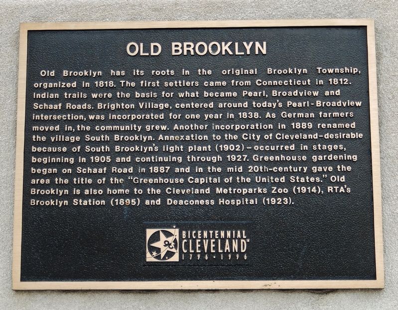
Old Brooklyn
Erected 1996 by Bicentennial Cleveland.
Topics. This historical marker is listed in these topic lists: Agriculture • Roads & Vehicles • Settlements & Settlers. A significant historical year for this entry is 1818.
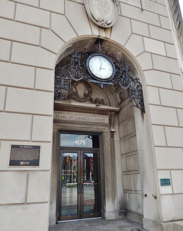
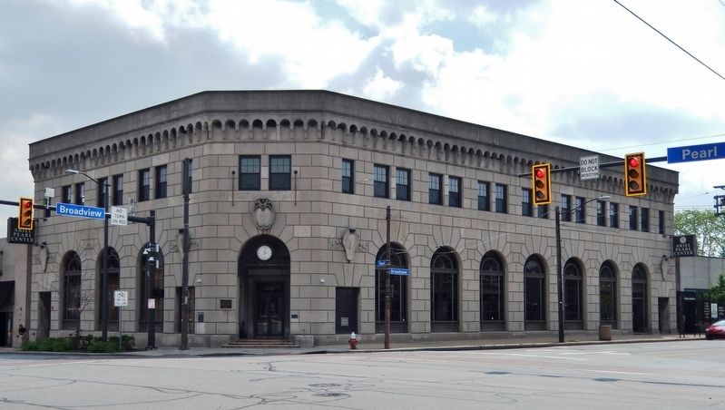
Location. 41° 26.506′ N, 81° 42.28′ W. Marker is in Cleveland, Ohio, in Cuyahoga County. It is in Old Brooklyn. Marker is at the intersection of Pearl Road (U.S. 42) and Broadview Road, on the right when traveling north on Pearl Road. Marker is mounted at eye-level just to the left of the building entrance at the northeast corner of the intersection. Touch for map. Marker is at or near this postal address: 4175 Pearl Road, Cleveland OH 44109, United States of America. Touch for directions.
Other nearby markers. At least 8 other markers are within 3 miles of this marker, measured as the crow flies. Pearl Street Savings & Trust Building (here, next to this marker); Brookside Stadium (approx. 0.9 miles away); Stuck, Stuck, STUCK! (approx. 2.1 miles away); Brooklyn Heights (approx. 2.3 miles away); Parma's Birthplace (approx. 2˝ miles away); Welcome to Monroe Street Cemetery (approx. 2.6 miles away); Ohio City / Monroe Street Cemetery (approx. 2.6 miles away); John W. Heisman Birth Site (approx. 2.8 miles away). Touch for a list and map of all markers in Cleveland.
Also see . . .
1. Old Brooklyn. Commercial gardening received a boost when public transportation came to the community's borders in 1869. The Johnson house at the corner of Broadview and Pearl was the hub of commercial activity — a well-known stopover for farmers headed to Cleveland to sell their produce. In 1889 the community boasted a population of 1,000 and its petition to incorporate, this time as the village of South Brooklyn, was granted. The moniker of South Brooklyn gradually faded and by the end of World War II all of western Cleveland
south of Big Creek came to be known as the Brooklyn section of the city. (Submitted on September 20, 2021, by Cosmos Mariner of Cape Canaveral, Florida.)
2. Old Brooklyn (Wikipedia). During the late 1880s, farmers in Old Brooklyn's Schaaf Road area and the neighboring Village of Brooklyn Heights were among the first in the Midwest to use greenhouses to cultivate vegetables. By the 1920s the neighborhood was one of the nation's leading producers of greenhouse vegetables, with more than 100 acres under glass. Most of the greenhouses were displaced, beginning about 1960, by new housing and the construction of Ohio Rt. 176. (Submitted on September 20, 2021, by Cosmos Mariner of Cape Canaveral, Florida.)
Credits. This page was last revised on February 4, 2023. It was originally submitted on September 20, 2021, by Cosmos Mariner of Cape Canaveral, Florida. This page has been viewed 300 times since then and 38 times this year. Photos: 1, 2, 3. submitted on September 20, 2021, by Cosmos Mariner of Cape Canaveral, Florida.


