
Ann Arbor in Washtenaw County, Michigan — The American Midwest (Great Lakes)
The Agricultural Works and Lower Town
Photographed by J.T. Lambrou, September 10, 2021
1. The Agricultural Works and Lower Town Marker
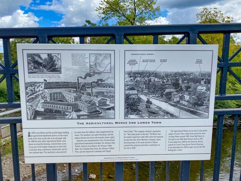
Sixty-five men manufactured a line of horse-drawn agricultural implements including “the Advance Hay Tedder, Advance Iron Mower, the Advance Sulky Rake, the Columbia Hay Press, the Advance Chilled Plow, and the Improved Cummings and Clipper Feed Cutter.” The company claimed a reputation for “first class goods in this line.” Eli Moore was the plant’s supervisor until 1903, when the business became the Ann Arbor Machine Company, manufacturing many of the same products. Edison acquired the property and built a warehouse on the site in 1928.
The Agricultural Works can be seen in this photograph
this page online
Topics. This historical marker is listed in these topic lists: Industry & Commerce • Waterways & Vessels. A significant historical year for this entry is 1866.
Location. 42° 17.313′ N, 83° 44.421′ W. Marker is in Ann Arbor, Michigan, in Washtenaw County. It is on Broadway Street near Swift Street, on the right when traveling north. Located on the east side Broadway Street bridge over the Huron River. Touch for map. Marker is at or near this postal address: 987 Broadway St, Ann Arbor MI 48105, United States of America. Touch for directions.

Regionally, this marker is in Southeast Michigan and in Greater Detroit. It is also in the American Midwest. Globally, it is in North America, the Western Hemisphere, the Western World, and the Anglosphere. Historically, it finds itself in what was once the Northwest Territory.
Other nearby markers. At
Photographed by J.T. Lambrou, September 10, 2021
2. The Agricultural Works and Lower Town Marker
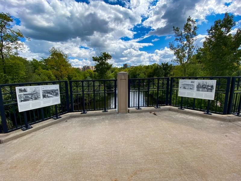
Marker is on the left with Huron River behind.
Photographed by J.T. Lambrou, September 10, 2021
3. The Agricultural Works and Lower Town Marker
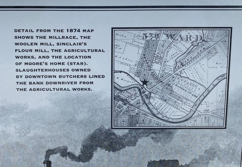
Inset photo (upper right) caption: Detail from the 1874 map shows the millrace, the woolen mill, Sinclair's flower mill, the Agricultural Works, and the location of Moore's Home (star). Slaughterhouses owned by downtown butchers lined the bank downriver from the Agricultural Works.
Photographed by J.T. Lambrou, September 10, 2021
4. The Agricultural Works and Lower Town Marker
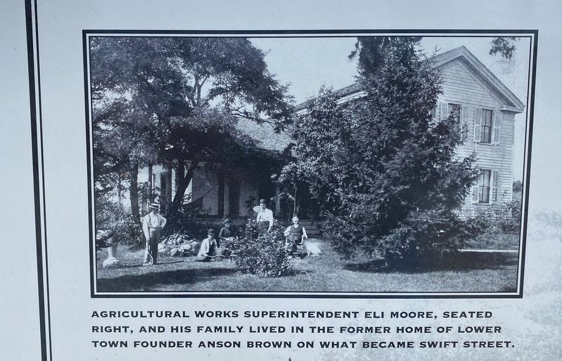
Inset photo (upper right) caption: Agricultural Works superintendent Eli Moore, seated right, and his family lived in the former home of Lower Town founder Anson Brown on what became Swift Street.
Credits. This page was last revised on September 22, 2021. It was originally submitted on September 20, 2021, by J.T. Lambrou of New Boston, Michigan. This page has been viewed 290 times since then and 18 times this year. Photos: 1, 2, 3, 4. submitted on September 20, 2021, by J.T. Lambrou of New Boston, Michigan. • Mark Hilton was the editor who published this page.
