West Old Town in Albuquerque in Bernalillo County, New Mexico — The American Mountains (Southwest)
Hedges Farm
Photographed by J. Makali Bruton, August 25, 2021
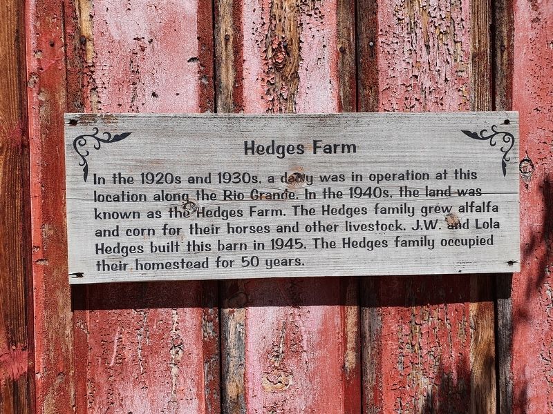
1. Hedges Farm Marker
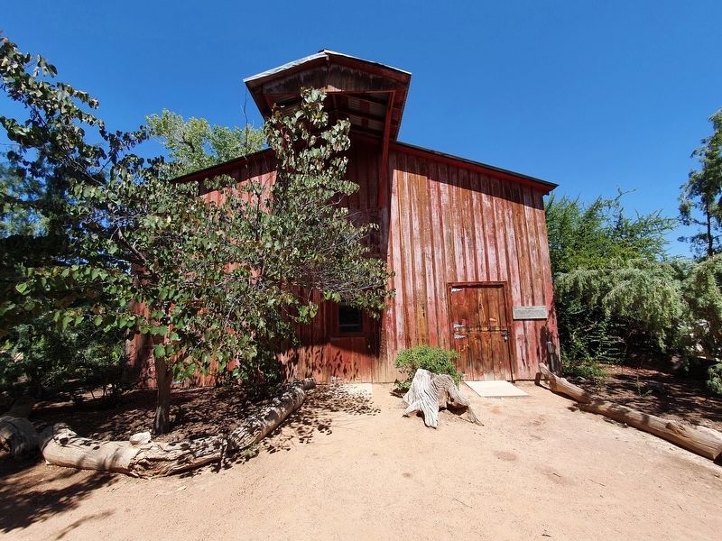
In the 1920s and 1930s, a dairy was in operation at this location along the Rio Grande. In the 1940s, the land was known as the Hedges Farm. The Hedges family grew alfalfa and corn for their horses and other livestock. J.W. and Lola Hedges built this barn in 1945. The Hedges family occupied their homestead for 50 years.
Topics. This historical marker is listed in these topic lists: Agriculture • Industry & Commerce. A significant historical year for this entry is 1945.
Location. 35° 5.646′ N, 106° 40.955′ W. Marker is in Albuquerque, New Mexico, in Bernalillo County. It is in West Old Town. It can be reached from Central Avenue SW north of Tingley Drive SW, on the left when traveling north. The marker is at the Rio Grande Heritage Farm at the western side of the ABQ BioPark. A fee is required to access the site. Touch for map. Marker is in this post office area: Albuquerque NM 87104, United States of America. Touch for directions.

Regionally, this marker is in the American Southwest. Globally, it is in North America, the Western Hemisphere, the Western World, and the Anglosphere. Historically, it finds itself
this page online
Other nearby markers. At least 8 other markers are within walking distance of this marker: The Healers Garden (within shouting distance of this marker); Rio Grande Heritage Farm (within shouting distance of this marker); The Vineyard (about 400 feet away, measured in a direct line); The Heritage Orchard (about 400 feet away); G-Scale Railroads (about 700 feet away); Old Town History (approx. 0.7 miles away); San Felipe de Alburquerque (approx. 0.7 miles away); Sister Blandina Convent (approx. 0.7 miles away). Touch for a list and map of all markers in Albuquerque.
Photographed by J. Makali Bruton, August 25, 2021
2. Hedges Farm Marker
Credits. This page was last revised on February 2, 2023. It was originally submitted on September 20, 2021, by J. Makali Bruton of Washington, District of Columbia. This page has been viewed 241 times since then and 36 times this year. Photos: 1, 2. submitted on September 20, 2021, by J. Makali Bruton of Washington, District of Columbia.
