Near Fairfax in Fairfax County, Virginia — The American South (Mid-Atlantic)
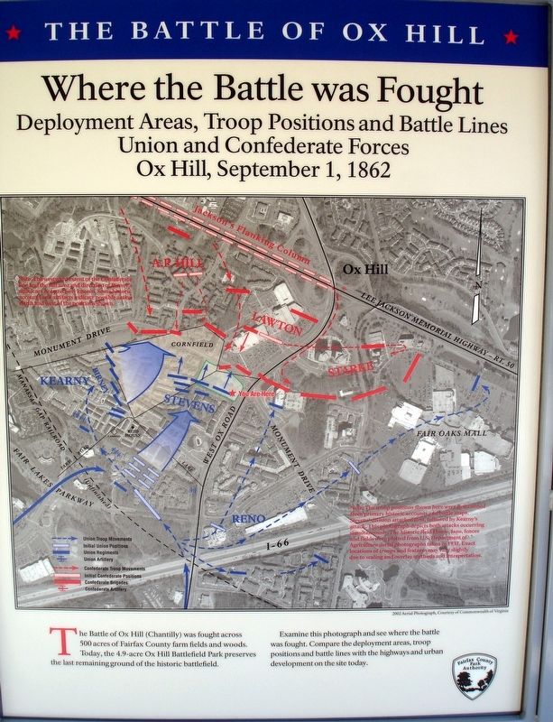
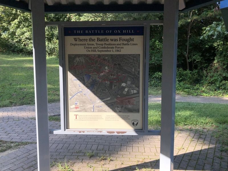
Where the Battle was Fought
Deployment Areas, Troop Positions and Battle Lines
Union and Confederate Forces
— Ox Hill, September 1, 1862 —
Erected 2008 by Fairfax County Park Authority.
Topics. This historical marker is listed in this topic list: War, US Civil.
Location. 38° 51.866′ N, 77° 22.192′ W. Marker is near Fairfax, Virginia, in Fairfax County. Marker can be reached from West Ox Road (Virginia Route 608) 0.1 miles south of Monument Drive, on the right when traveling south. Touch for map. Marker is at or near this postal address: 4140 West Ox Rd, Fairfax VA 22033, United States of America. Touch for directions.
Other nearby markers. At least 8 other markers are within walking distance of this marker. Who Fought Here: The Generals (here, next to this marker); La Batalla de Ox Hill (Chantilly) (here, next to this marker); Wounds Suffered at Ox Hill (Chantilly) (here, next to this marker); The Wounded Left Behind (here, next to this marker); Sequel to Second Manassas (here, next to this marker); Ox Hill Battlefield Park & Interpretive Trail (here, next to this marker); Aftermath: The Invasion of Maryland (within shouting distance of this marker); General Reno's Probe East of Ox Road (within shouting distance of this marker). Touch for a list and map of all markers in Fairfax.
Credits. This page was last revised on September 20, 2021. It was originally submitted on September 20, 2021. This page has been viewed 179 times since then and 20 times this year. Photos: 1. submitted on January 25, 2009. 2. submitted on September 20, 2021, by Devry Becker Jones of Washington, District of Columbia. • Devry Becker Jones was the editor who published this page.

