Near Fort Supply in Woodward County, Oklahoma — The American South (West South Central)
Military Road Crossing

Photographed by James Hulse, September 10, 2021
1. Military Road Crossing Marker
Erected by Oklahoma Historical Society.
Topics. This historical marker is listed in these topic lists: Forts and Castles • Roads & Vehicles. A significant historical month for this entry is June 1874.
Location. 36° 34.74′ N, 99° 35.483′ W. Marker is near Fort Supply, Oklahoma, in Woodward County. It is on U.S. 412 0.3 miles west of U.S. 183, on the right when traveling west. The marker is located along the highway at a small roadside pullout. Touch for map. Marker is in this post office area: Fort Supply OK 73841, United States of America. Touch for directions.

Regionally, this marker is in the American South, specifically on the prairies, and on the Southern Plains. Globally, it is in North America, the Western Hemisphere, the Western World, and the Anglosphere. Historically, it finds itself in what
this page online
Other nearby markers. At least 7 other markers are within 15 miles of this marker, measured as the crow flies: Historic Fort Supply Cemetery (approx. 1.7 miles away); The Cooper Site (approx. 1.7 miles away); Camp Supply (approx. 2.2 miles away); Western Cattle Trail (approx. 14.1 miles away); Crossing (approx. 14.6 miles away); Temple Lea Houston (approx. 14.9 miles away); Military Chapel (approx. 14.9 miles away).
Also see . . . Fort Elliott.
Fort Elliott was a United States Army post in the Texas Panhandle, operational between 1875 and 1890 and named for Major Joel H. Elliott, a casualty of the Battle of Washita River in 1868. Source: Wikipedia(Submitted on September 21, 2021, by James Hulse of Medina, Texas.)
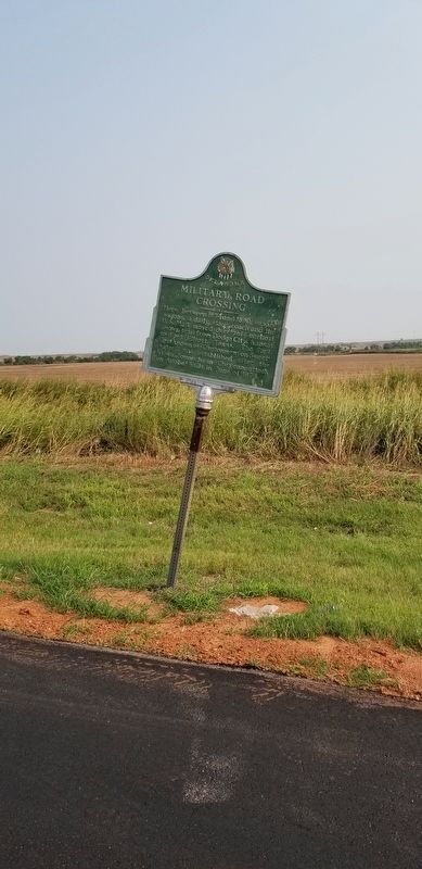
Photographed by James Hulse, September 10, 2021
2. Military Road Crossing Marker
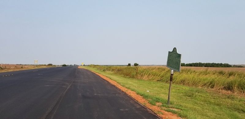
Photographed by James Hulse, September 10, 2021
3. The view of the Military Road Crossing Marker from the highway
Credits. This page was last revised on September 21, 2021. It was originally submitted on September 21, 2021, by James Hulse of Medina, Texas. This page has been viewed 707 times since then and 148 times this year. Photos: 1, 2, 3. submitted on September 21, 2021, by James Hulse of Medina, Texas.
