Mio in Oscoda County, Michigan — The American Midwest (Great Lakes)
Mio Hydroelectric Plant / Hydroelectric Power
Inscription.
Mio Hydroelectric Plant
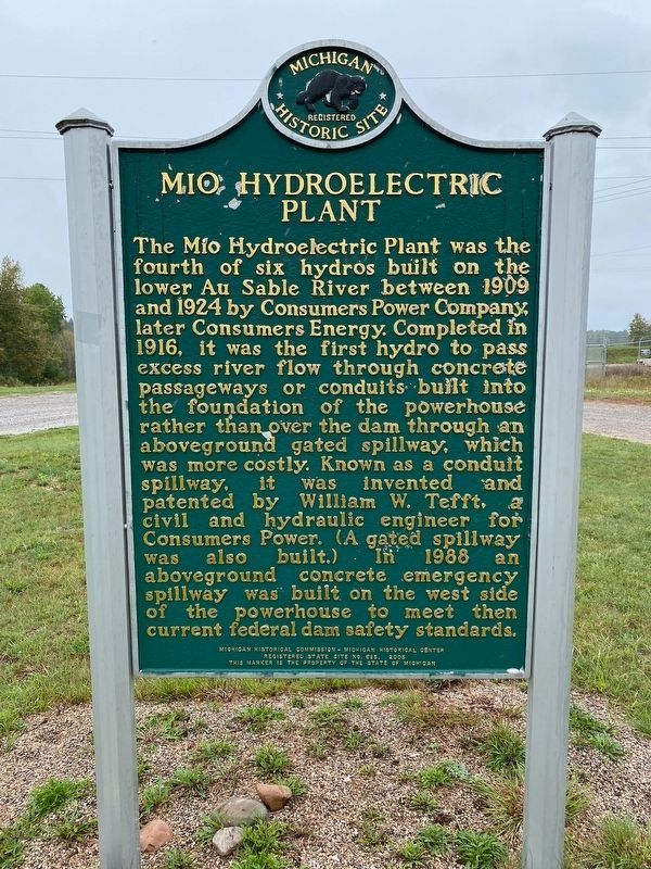
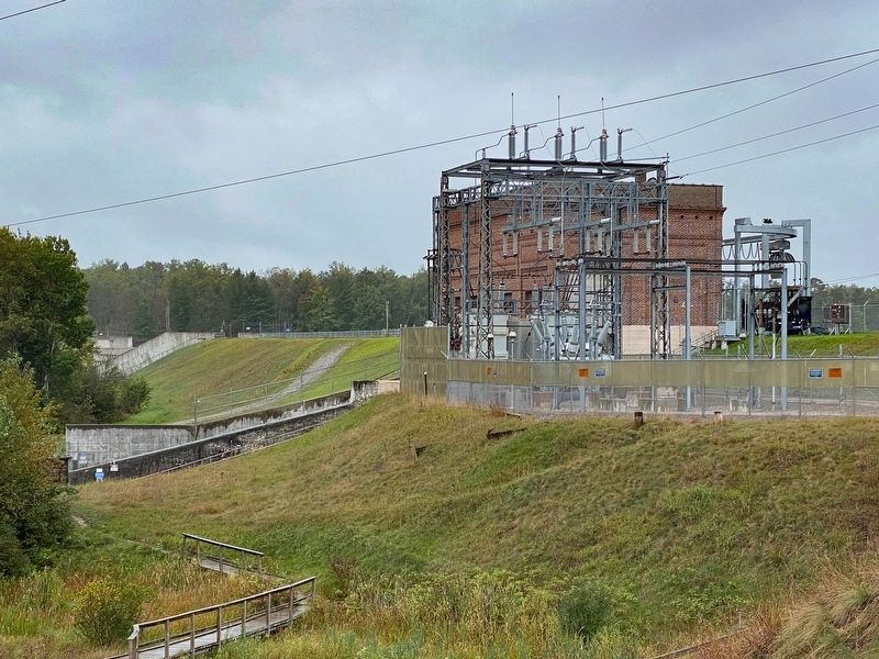
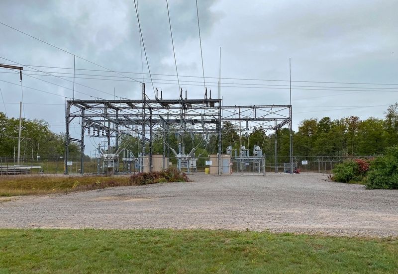
The Mio Hydroelectric Plant was the fourth of six hydros built on the lower Au Sable River between 1909 and 1924 by Consumers Power Company, later Consumers Energy. Completed in 1916, it was the first hydro to pass excess river flow through concrete passageways or conduits built into the foundation of the powerhouse rather than over the dam through an above ground gated spillway, which was more costly. Known as a conduit spillway, it was invented and patented by William W. Tefft, a civil and hydraulic engineer for Consumers Power. (A gated spillway was also built.) In 1988 an aboveground concrete emergency spillway was built on the west side of the powerhouse to meet then current federal dam safety standards.
Hydroelectric Power
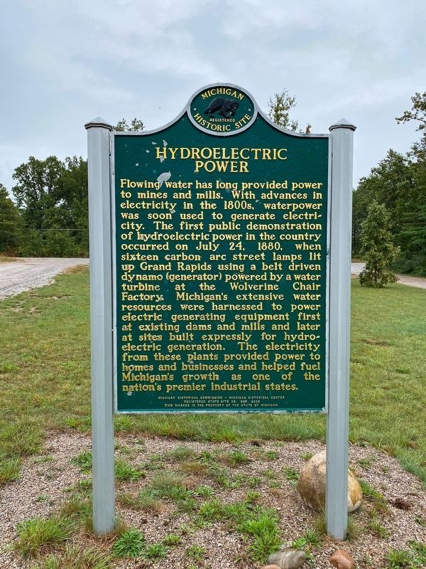
Flowing water has long provided power to mines and mills. With advances in electricity in the 1880s, waterpower was soon used to generate electricity. The first public demonstration of hydroelectric power in the country occurred on July 24, 1880, when sixteen carbon arc street lamps lit up Grand Rapids using a belt driven dynamo (generator) powered by a water turbine at the Wolverine Chair Factory. Michigan's extensive water resources were harnessed to power electric generating equipment, first at existing dams and mills and later at sites built expressly for hydroelectric generation. The electricity from these plants provided power for homes and businesses and helped fuel Michigan's growth as one of the nation's premier industrial states.
Erected 2005 by Michigan Historical Commission - Michigan Historical Center. (Marker Number S0685.)
Topics and series. This historical marker is listed in these topic lists: Industry & Commerce • Waterways & Vessels. In addition, it is included in the Michigan Historical Commission series list. A significant historical date for this entry is July 24, 1880.
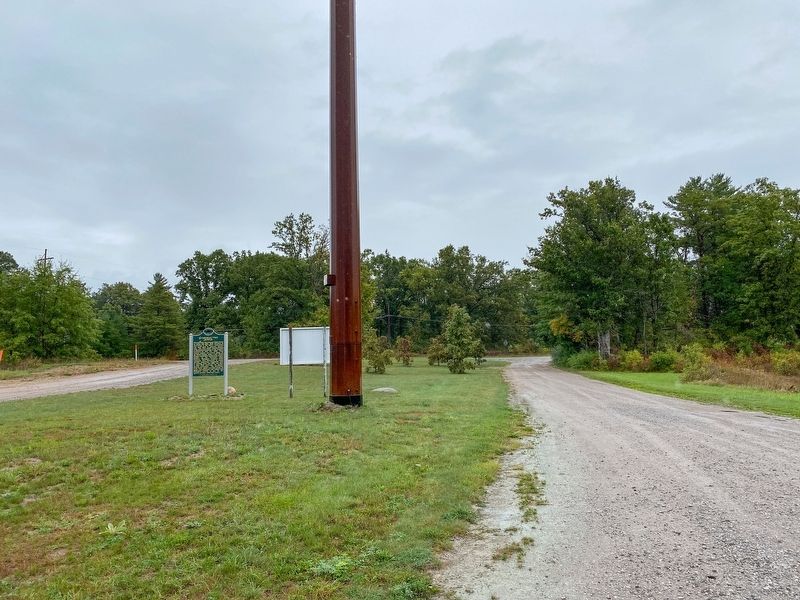
Location. 44° 39.729′ N, 84° 7.816′ W. Marker is in Mio, Michigan, in Oscoda County. Marker is on Pond Drive near Morenci Avenue (State Route 33), on the left when traveling west. Touch for map. Marker is in this post office area: Mio MI 48647, United States of America. Touch for directions.
Other nearby markers. At least 3 other markers are within walking distance of this marker. Mio Hydro (within shouting distance of this marker); Oscoda County Veterans Memorial (approx. 0.9 miles away); In Memory of James L. Swiderski (approx. 0.9 miles away).
Related markers. Click here for a list of markers that are related to this marker.
Credits. This page was last revised on February 23, 2023. It was originally submitted on September 22, 2021, by J.T. Lambrou of New Boston, Michigan. This page has been viewed 277 times since then and 34 times this year. Last updated on February 22, 2023, by J.T. Lambrou of New Boston, Michigan. Photos: 1, 2, 3, 4, 5. submitted on September 22, 2021, by J.T. Lambrou of New Boston, Michigan. • J. Makali Bruton was the editor who published this page.
