Saginaw in Saginaw County, Michigan — The American Midwest (Great Lakes)
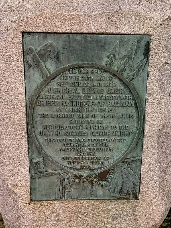
Treaty of Saginaw
on the 24th day of
September, A.D. 1819
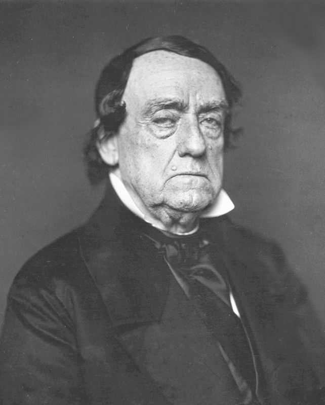
General Lewis Cass
made and executed a Treaty with
Chippewa Indians of Saginaw
by which they ceded
the largest part of their lands
situated in
Northeastern Michigan to the
United States government
Erected 1916 by Daughters of the American Revolution and the City Federation of Women's Clubs.
Topics and series. This historical marker is listed in these topic lists: Native Americans • Peace. In addition, it is included in the Daughters of the American Revolution series list. A significant historical date for this entry is September 24, 1819.
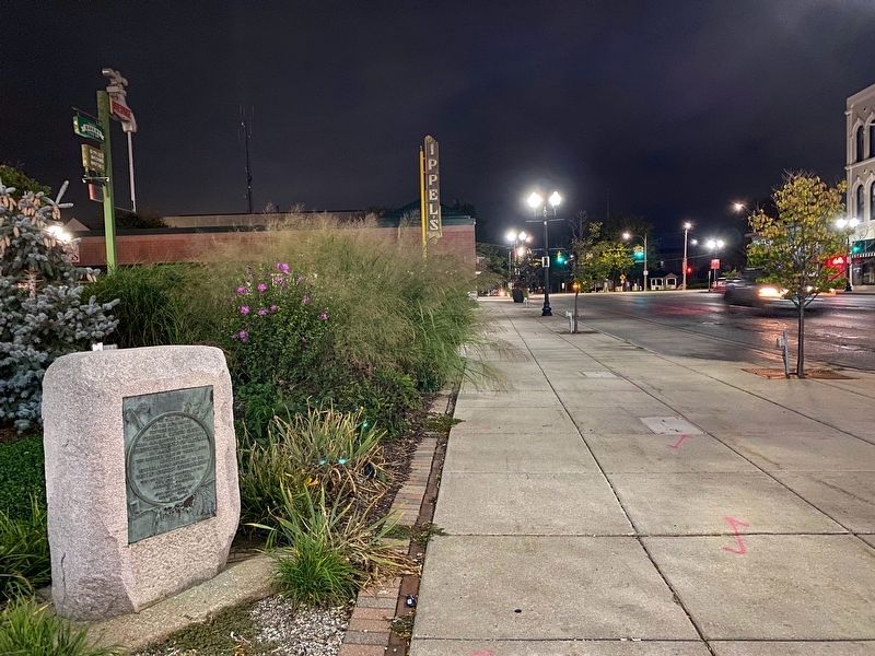
Location. 43° 25.014′ N, 83° 57.82′ W. Marker is in Saginaw, Michigan, in Saginaw County. Marker is at the intersection of Court Street and South Hamilton Street, on the right when traveling east on Court Street. Touch for map. Marker is at or near this postal address: 421 Court St, Saginaw MI 48602, United States of America. Touch for directions.
Other nearby markers. At least 8 other markers are within walking distance of this marker. Core Sample (within shouting distance of this marker); Saginaw County Veterans Memorial (about 300 feet away, measured in a direct line); Saginaw Valley Lumbering Era (about 400 feet away); Fred J. Borchard Park (about 400 feet away); Carl Cardwell Poston, Jr. (about 400 feet away); First Presbyterian Church (approx. 0.2 miles away); Benjamin and Adelaide Cushway / The Cushway House (approx. 0.4 miles away); Hoyt Park Shelter and Field House (approx. 0.7 miles away). Touch for a list and map of all markers in Saginaw.
Also see . . . Treaty of Saginaw. Excerpt:
Native Americans ceded a large tract of land (more than six million acres (24,000 km˛) in the central portion of the Lower Peninsula of Michigan.(Submitted on September 22, 2021, by J.T. Lambrou of New Boston, Michigan.)
Credits. This page was last revised on September 23, 2021. It was originally submitted on September 22, 2021, by J.T. Lambrou of New Boston, Michigan. This page has been viewed 402 times since then and 31 times this year. Photos: 1, 2, 3. submitted on September 22, 2021, by J.T. Lambrou of New Boston, Michigan. • Mark Hilton was the editor who published this page.


