Alpena in Alpena County, Michigan — The American Midwest (Great Lakes)
Treaty of Saginaw
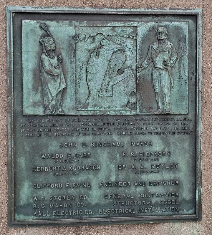
“By the Treaty of Saginaw, made at Saginaw [Saquina] September 24, 1819, by General Lewis Cass, Governor of the Northwest Territory, on the part of the United States, and the Chippewa Nations, Thunder Bay River became a part of the boundary of the Territory, thereby ceded to the United States”
Waldo E. Carr, Councilman, R. R. Piepkorn, Councilman
Herbert A. Kurrasch, Councilman, Dr. A. A. Motley, Councilman
Clifford E. Paine, Engineer and Designer
W.J. Storen Co., General Contractor
R.C. Mahon Co., Structural Steel
Hall Electric Co., Electrical Installation
Topics. This historical marker is listed in these topic lists: Native Americans • Waterways & Vessels. A significant historical date for this entry is September 24, 1819.
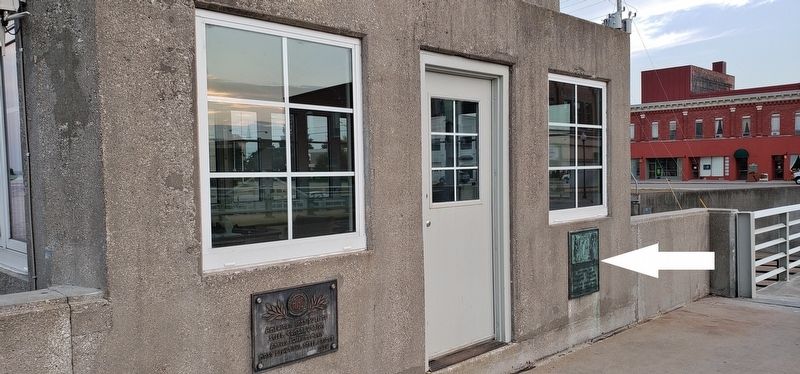
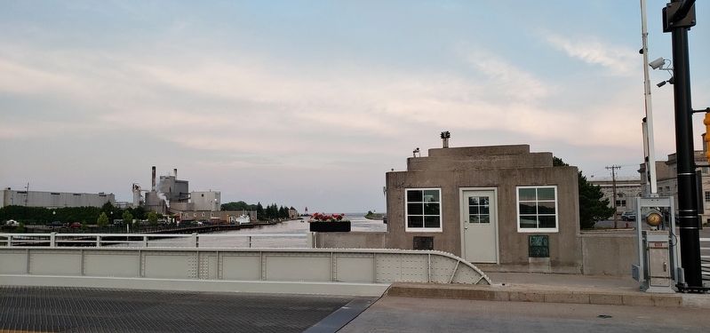
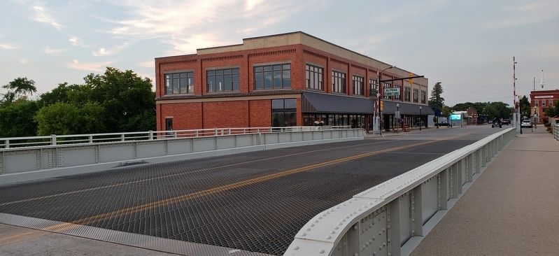
Location. 45° 3.815′ N, 83° 25.857′ W. Marker is in Alpena, Michigan, in Alpena County. Marker is on North 2nd Avenue north of Water Street, on the right when traveling north. Marker is a large metal plaque, mounted at knee-level, directly on the bridge control house of the Second Avenue Bridge, beside the pedestrian walkway on the east side of the bridge. Touch for map. Marker is in this post office area: Alpena MI 49707, United States of America. Touch for directions.
Other nearby markers. At least 8 other markers are within walking distance of this marker. Alpena’s Second Avenue Bridge (within shouting distance of this marker); Grecian (within shouting distance of this marker); Montana (about 300 feet away, measured in a direct line); Harbor Tug Ralph (about 400 feet away); Thomas Stafford Dog Park (about 400 feet away); Abby’s Story (about 400 feet away); Winter Layup (about 400 feet away); Nordmeer (about 400 feet away). Touch for a list and map of all markers in Alpena.
Regarding Treaty of Saginaw. The Thunder Bay River Boundary of the Cession of 1819 was the last Michigan treaty to be negotiated in the state. It ceded important area of Michigan from the Chippewa, Ottawa and Potawatomi tribes to the United States. Six million acres with the Thunder Bay River as the northern boundary. The plaque on the second avenue bridge identifies this boundary. The treaty was significant in establishing areas for white settlers and in the use of the Michigan baseline as a standard in surveying.
(Submitted on August 18, 2018, by Cosmos Mariner of Cape Canaveral, Florida.)
Related marker. Click here for another marker that is related to this marker.
Also see . . .
1819 Treaty of Saginaw. Lac Courte Oreilles Ojibwa Community College website entry:
The Treaty of Saginaw was signed between General Lewis Cass, the US Territorial Governor of Michigan & Chief John Okemos of the Saginaw Chippewa, Chief Wasso of the Shiawassee band Ojibwe, and other Native Americans representing some bands of the Ojibwe, Potawatomi and Odawa Nations. This treaty ceded over six million acres, encompassing the lower portion of the Michigan peninsula, and reserved land within the ceded territory for use. By 1850 the US government disregarded their obligations signed in the Treaty of Saginaw. These tracts of land were seized and the Natives living there were moved to reservations. (Submitted on August 18, 2018, by Cosmos Mariner of Cape Canaveral, Florida.)
Credits. This page was last revised on June 4, 2022. It was originally submitted on August 16, 2018, by Cosmos Mariner of Cape Canaveral, Florida. This page has been viewed 616 times since then and 45 times this year. Last updated on September 22, 2021, by J.T. Lambrou of New Boston, Michigan. Photos: 1, 2, 3, 4. submitted on August 18, 2018, by Cosmos Mariner of Cape Canaveral, Florida. • Mark Hilton was the editor who published this page.


