
Beverly in Toledo in Lucas County, Ohio — The American Midwest (Great Lakes)
The Park Today
Photographed by Craig Doda, September 18, 2021
1. The Park Today Marker
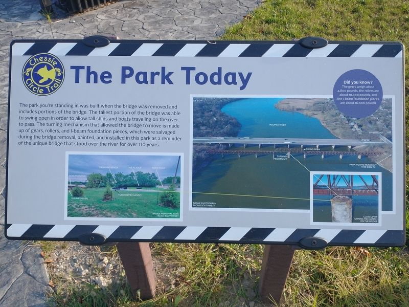
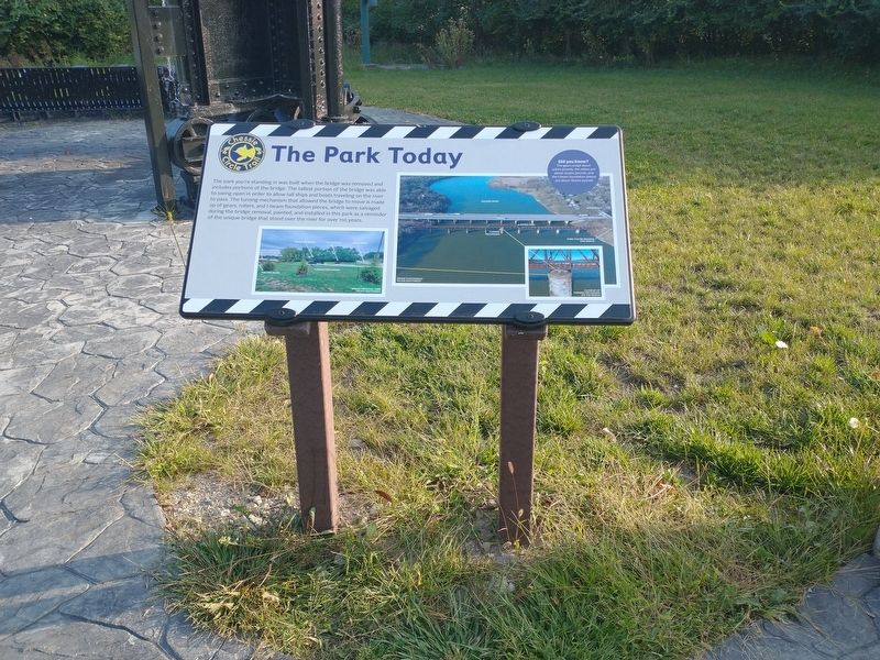
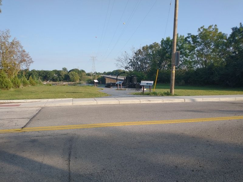
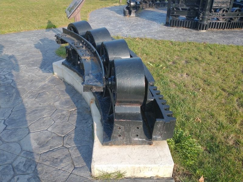
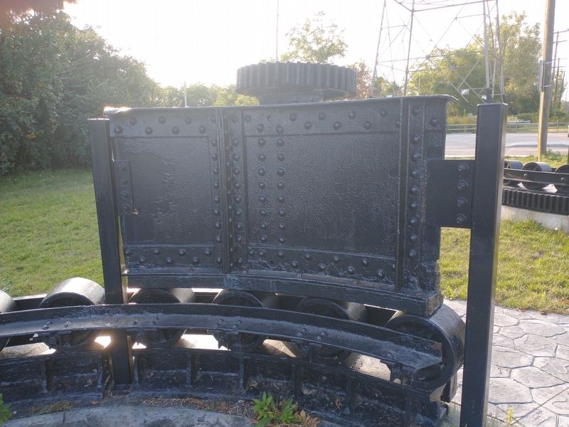
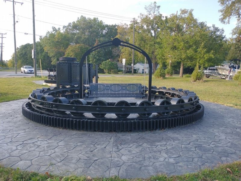
The park you're standing in was built when the bridge was removed and includes portions of the bridge. The tallest portion of the bridge was able to swing open in order to allow tall ships and boats traveling on the river to pass. The turning mechanism that allowed the bridge to move is made up of gears, rollers, and I-beam foundation pieces, which were salvaged during the bridge removal, painted, and installed in this park as a reminder of the unique bridge that stood over the river for over 110 years.
Did you know?
The gears weigh about 4,800 pounds, the rollers are about 10,000 pounds, and the I-beam foundation pieces are about 16,000 pounds
Topics. This historical marker is listed in these topic lists: Bridges & Viaducts • Parks & Recreational Areas • Railroads & Streetcars.
Location. 41° 34.936′ N, 83° 36.528′ W. Marker is in Toledo, Ohio, in Lucas County. It is in Beverly. It is at the intersection of River Road and Chessie Circle Trail, on the right when traveling north on River Road. Touch for map. Marker is at or near this postal address:
this page online

Regionally, this marker is on Ohio’s Lake Erie Shore. It is also in the American Midwest and in the Corn Belt. Globally, it is in North America, on the Great Lakes, in the Western Hemisphere, in the Western World, and in the Anglosphere. Historically, it finds itself in what was once the Viceroyalty of New France, the Haudenosaunee (Iroquois) Confederacy, the territory of the Mississippian Culture, and the Northwest Territory.
Other nearby markers. At least 8 other markers are within 2 miles of this marker, measured as the crow flies: The Bridge (a few steps from this marker); Toledo Beltway Railroad (a few steps from this marker); Chessie Circle Trail - River Rd. (within shouting distance of this marker); Lucas County Children's Home (approx. 0.6 miles away); Chessie Circle Trail - Copland Blvd. (approx. 0.9 miles away); The Great Trail (approx. 0.9 miles away); The Formidable Fort Miamis (approx. 1.1 miles away); Letters From 1794 / A Strategic Location (approx. 1.1 miles away). Touch for a list and map of all markers in Toledo.
Other
Photographed by Craig Doda, September 18, 2021
2. The Park Today Marker
Photographed by Craig Doda, September 18, 2021
3. The Park Today Marker
Photographed by Craig Doda, September 18, 2021
4. The Park Today Marker
Photographed by Craig Doda, September 18, 2021
5. The Park Today Marker
Photographed by Craig Doda, September 18, 2021
6. The Park Today Marker
Credits. This page was last revised on February 4, 2023. It was originally submitted on September 23, 2021, by Craig Doda of Napoleon, Ohio. This page has been viewed 199 times since then and 16 times this year. Photos: 1, 2, 3, 4, 5, 6. submitted on September 23, 2021, by Craig Doda of Napoleon, Ohio. • Devry Becker Jones was the editor who published this page.
