Santa Fe in Santa Fe County, New Mexico — The American Mountains (Southwest)
1712
Photographed by J. Makali Bruton, August 24, 2021
1. 1717 Marker
1712
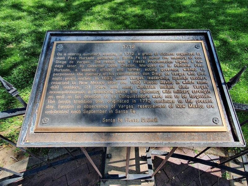
On a stormy summer's evening in 1712, a group of citizens organized by Juan Páez Hurtado gathered in Santa Fe to honor the memory of don Diego de Vargas. The result was a Fiesta Proclamation signed a few days later by Governor José Chacón, Marqués de la Peñuela. Páez Hurtado, a veteran officer and former acting governor wished to perpetuate the memory of his commander, don Diego de Vargas who died eight years earlier. In 1693, under Vargas' leadership, Spanish settlers returned to New Mexico after the 1680 Pueblo Revolt in which some 400 settlers, 21 friars and many Christian Indians died. Vargas' accomplishments in balancing peace and diplomacy with military strength as well as his devotion to La Conquistadora were not to be forgotten. The fiesta tradition that originated in 1712 continues to the present day. Fiestas in observance of Vargas' resettlement of New Mexico are celebrated each September in Santa Fe.
Santa Fe Fiesta Council
Topics. This historical marker is listed in these topic lists: Colonial Era • Settlements & Settlers. A significant historical year for this entry is 1712.
Location. 35° 41.223′ N, 105° 56.163′ W.
this page online

Regionally, this marker is in Northern New Mexico. It is also in the American Southwest, in the Mountain West, and on the Santa Fe Trail Corridor. Globally, it is in North America, the Rocky Mountains, the Western Hemisphere, the Western World, and the Anglosphere. Historically, it finds itself in what was once New Spain and also the Republic of Texas.
Other nearby markers. At least 8 other markers are within walking distance of this marker: 1777 (here, next to this marker); 1827 (here, next to this marker); 1788 (here, next to this marker); 1630 (here, next to this marker); 1850 (here, next to this marker); 1848 (here, next to this marker); 1998 (here, next to this marker); Santa Fe Cathedral Park and Monument (a few steps from this marker). Touch for a list and map of all markers in Santa Fe.
Photographed by J. Makali Bruton, August 24, 2021
2. 1712 Marker
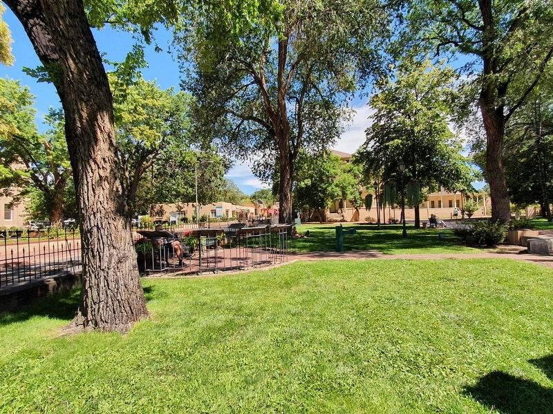
The marker is the second of eight markers in this semicircle in Cathedral Park, just south of East Palace Avenue.
Credits. This page was last revised on September 23, 2021. It was originally submitted on September 23, 2021, by J. Makali Bruton of Washington, District of Columbia. This page has been viewed 233 times since then and 19 times this year. Photos: 1, 2. submitted on September 23, 2021, by J. Makali Bruton of Washington, District of Columbia.
