Santa Fe in Santa Fe County, New Mexico — The American Mountains (Southwest)
1848
Photographed by J. Makali Bruton, August 24, 2021
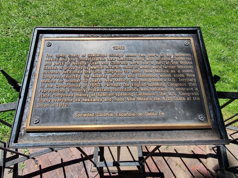
1. 1848 Marker
1848
The 1848 Treaty of Guadalupe Hidalgo ended two years of war between Mexico and the United States. New Mexico, along with Arizona, California and parts of Nevada, Utah and Colorado were now a part of the United States. A group led by Manuel Alvarez, most of whom were former Mexican citizens, petitioned the U.S. Congress to admit New Mexico as a state. Congress rejected the Alvarez petition and statehood would elude New Mexico for another 62 years. New Mexico was designated a U.S. Territory in the Compromise of 1850. Perhaps the English-speaking Congress that represented a mostly Protestant constituency was hesitant to embrace a state composed mainly of Spanish-speaking Catholics. The U.S. Congress finally overcame its hesitancy and made New Mexico the 47th State of the Union in 1912.
Sociedad Colonial Española de Santa Fe
Topics. This historical marker is listed in these topic lists: Hispanic Americans • War, Mexican-American. A significant historical year for this entry is 1848.
Location. 35° 41.224′ N, 105° 56.166′ W. Marker is in Santa Fe, New Mexico, in Santa Fe County. It is on East Palace Avenue
this page online

Regionally, this marker is in Northern New Mexico. It is also in the American Southwest, in the Mountain West, and on the Santa Fe Trail Corridor. Globally, it is in North America, the Rocky Mountains, the Western Hemisphere, the Western World, and the Anglosphere. Historically, it finds itself in what was once New Spain and also the Republic of Texas.
Other nearby markers. At least 8 other markers are within walking distance of this marker: 1850 (here, next to this marker); 1788 (here, next to this marker); 1998 (here, next to this marker); 1712 (here, next to this marker); 1827 (here, next to this marker); 1777 (here, next to this marker); 1630 (here, next to this marker); Santa Fe Cathedral Park and Monument (a few steps from this marker). Touch for a list and map of all markers in Santa Fe.
Photographed by J. Makali Bruton, August 24, 2021
2. 1848 Marker
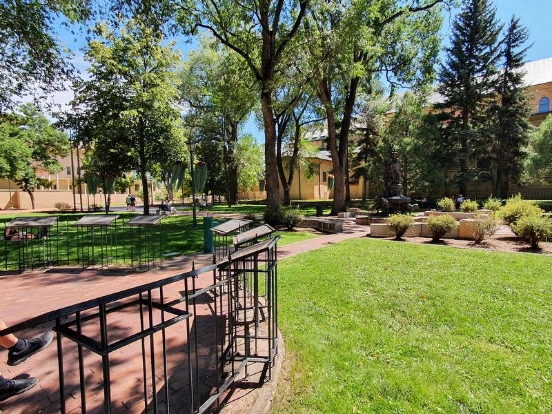
The marker is the sixth of eight markers in this semicircle in Cathedral Park, just south of East Palace Avenue.
Credits. This page was last revised on September 23, 2021. It was originally submitted on September 23, 2021, by J. Makali Bruton of Washington, District of Columbia. This page has been viewed 239 times since then and 30 times this year. Photos: 1, 2. submitted on September 23, 2021, by J. Makali Bruton of Washington, District of Columbia.
