Wylliesburg in Charlotte County, Virginia — The American South (Mid-Atlantic)
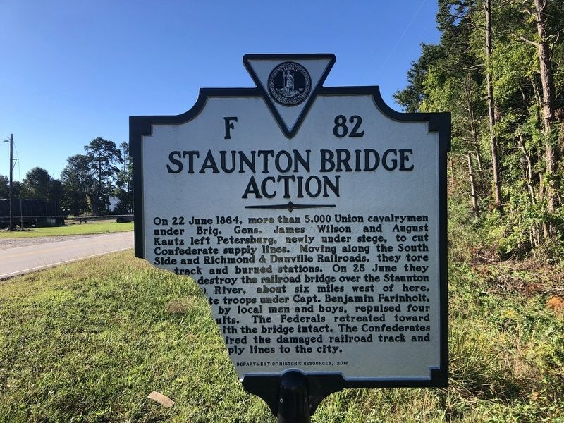
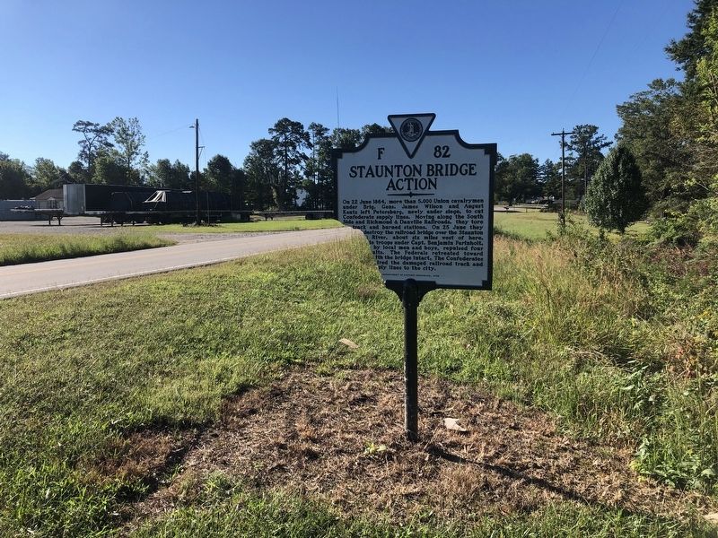
Staunton Bridge Action
Erected 2016 by Department of Historic Resources. (Marker Number F-82.)
Topics and series. This historical marker is listed in these topic lists: Bridges & Viaducts • Railroads & Streetcars • War, US Civil • Waterways & Vessels. In addition, it is included in the Virginia Department of Historic Resources (DHR) series list. A significant historical date for this entry is June 22, 1864.
Location. 36° 51.566′ N, 78° 35.359′ W. Marker has been reported damaged. Marker is in Wylliesburg, Virginia, in Charlotte County. Marker is on Barnesville Highway (U.S. 15) 0.2 miles north of Cannery Lane, on the left when traveling north. Unfortunately, the marker is heavily damaged. It is also not present on the Virginia Department of Historic Resources site. When possible, missing text has been inferred. Touch for map. Marker is at or near this postal address: 575 Barnesville Hwy, Wylliesburg VA 23976, United States of America. Touch for directions.
Other nearby markers. At least 8 other markers are within 7 miles of this location, measured as the crow flies. Roanoke Plantation (a few steps from this marker); Paul Carrington (approx. ¼ mile away); The War of 1812 / War of 1812 Opposition — John Randolph (approx. 0.4 miles away); Wylliesburgh (approx. half a mile away); Charlotte County / Mecklenburg County (approx. 4 miles away); Carrington's Mill (approx. 6.3 miles away); The Battle of Staunton River Bridge (approx. 6.4 miles away); Wilson-Kautz Raid (approx. 6.4 miles away). Touch for a list and map of all markers in Wylliesburg.
Related marker. Click here for another marker that is related to this marker. Old Marker At This Location also titled "Staunton Bridge Action".
Also see . . .
1. Battle of Staunton River Bridge. Wikipedia (Submitted on November 4, 2021.)
2. Historic Staunton River Foundation & Staunton River Battlefield State Park. (Submitted on November 4, 2021.)
3. Staunton River Battlefield State Park. Virginia Department of Conservation & Recreation (Submitted on November 4, 2021.)
Credits. This page was last revised on November 4, 2021. It was originally submitted on September 25, 2021, by Devry Becker Jones of Washington, District of Columbia. This page has been viewed 174 times since then and 18 times this year. Photos: 1, 2. submitted on September 25, 2021, by Devry Becker Jones of Washington, District of Columbia.

