Centreville in Fairfax County, Virginia — The American South (Mid-Atlantic)
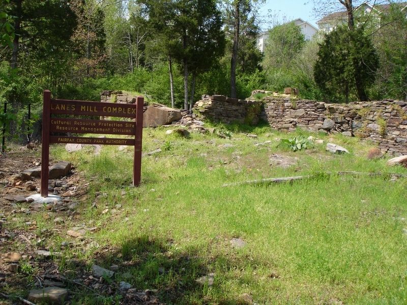
Lane's Mill and Newton's Mill Ruins
Lane's Mill Park
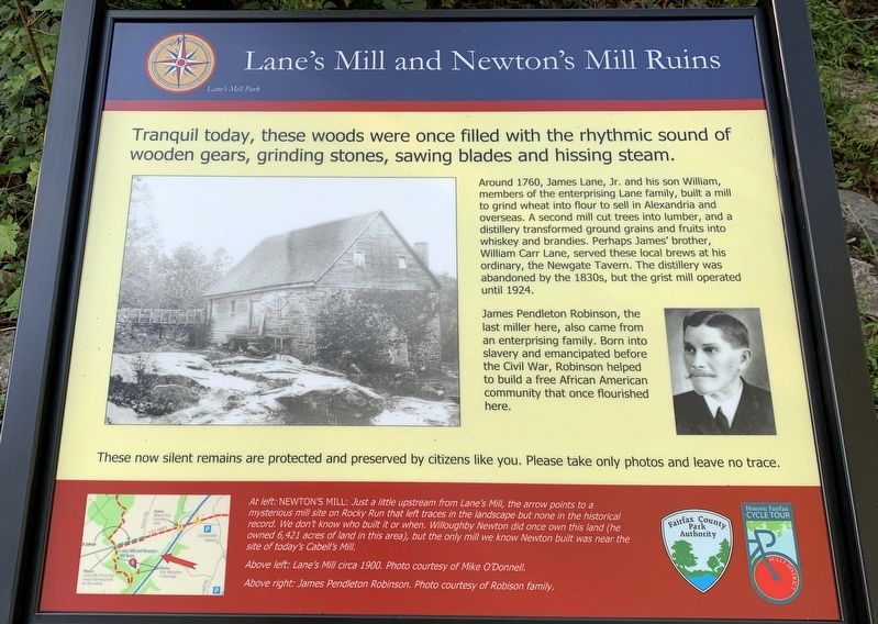
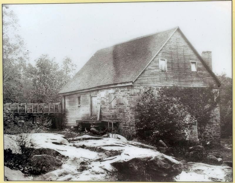
Around 1760, James Lane, Jr. and his son William, members of the enterprising Lane family, built a mill to grind wheat into flour to sell in Alexandria and overseas. A second mill cut trees into lumber, and a distillery transformed ground grains and fruits into whiskey and brandies. Perhaps James’ brother, William Carr Lane, served these local brews at his ordinary, the Newgate Tavern. The distillery was abandoned by the 1830s, but the grist mill operated until 1924.
James Pendleton Robinson, the last miller here, also came from an enterprising family. Born into slavery and emancipated before the Civil War, Robinson helped to build a free African American community that once flourished here.
These now silent remains are protected and preserved by citizens like you. Please take only photos and leave no trace.
Erected by Fairfax County Park Authority.
Topics. This historical marker is listed in these topic lists: African Americans • Colonial Era • Industry & Commerce. A significant historical year for this entry is 1760.
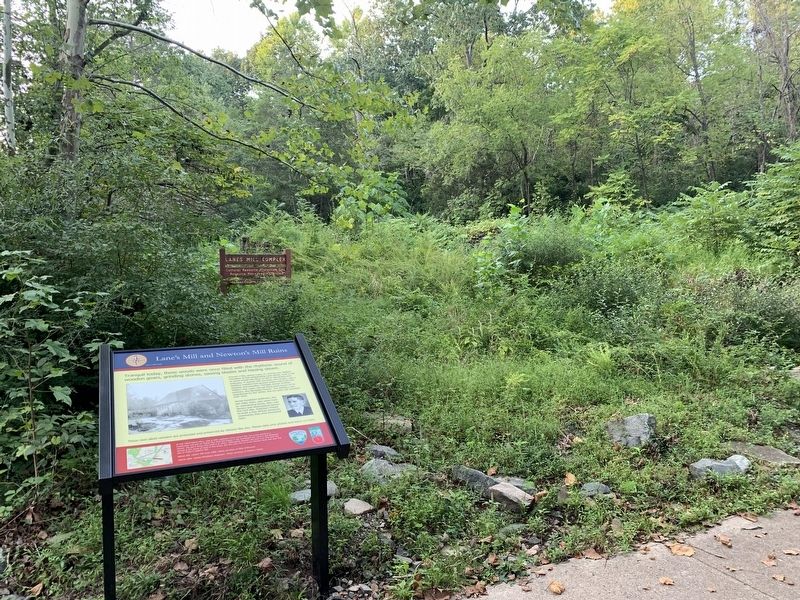
Location. 38° 49.727′ N, 77° 27.487′ W. Marker is in Centreville, Virginia, in Fairfax County. Marker is located near the confluence of the Big Rocky Run and Cub Run along the Cub Run Lee Overlook Connector Trail in the Cub Run Stream Valley Park. Touch for map. Marker is in this post office area: Centreville VA 20121, United States of America. Touch for directions.
Other nearby markers. At least 8 other markers are within 2 miles of this marker, measured as the crow flies. First Battle of Manassas (approx. 0.4 miles away); Retreat From Manassas (approx. 0.4 miles away); Military Railroad Terminus (approx. 1.1 miles away); Campaign of Second Manassas (approx. 1.1 miles away); Confederate Defenses (approx. 1.1 miles away); Second Battle of Manassas (approx. 1.1 miles away); a different marker also named First Battle of Manassas (approx. 1.1 miles away); Battery Ridge (approx. 1.2 miles away). Touch for a list and map of all markers in Centreville.
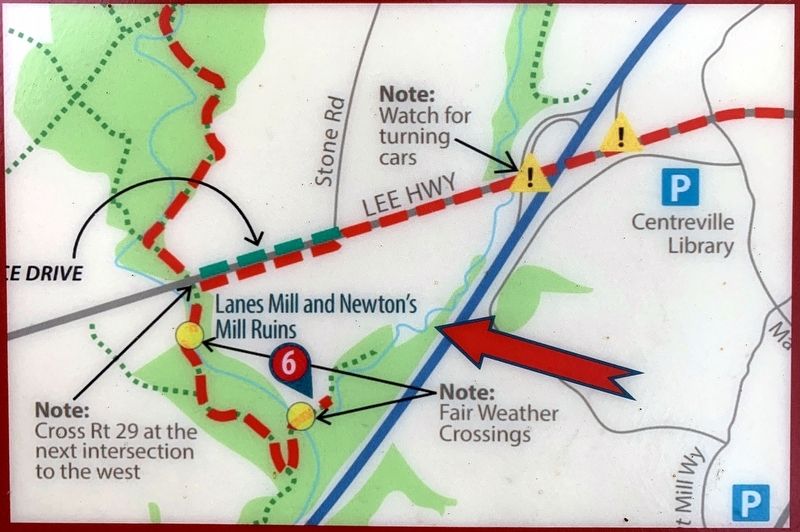
More about this marker. The marker has two photos and a map captioned:
At left: NEWTON’S MILL: Just a little upstream from Lane’s Mill, the arrow points to a mysterious mill site on Rocky Run that left traces in the landscape but none in the historical record. We don’t know who built it or when. Willoughby Newton did once own this land (he owned 6,421 acres of land in this area), but the only mill we know Newton built was near the site of today’s Cabell’s Mill.
Above left: Lane’s Mill circa 1900. Photo courtesy of Mike O’Donnell.
Above right: James Pendleton Robinson. Photo courtesy of Robison family.
Credits. This page was last revised on September 26, 2021. It was originally submitted on September 25, 2021. This page has been viewed 557 times since then and 78 times this year. Photos: 1, 2, 3, 4, 5, 6. submitted on September 25, 2021. • Bernard Fisher was the editor who published this page.
