Near Burkeville in Prince Edward County, Virginia — The American South (Mid-Atlantic)
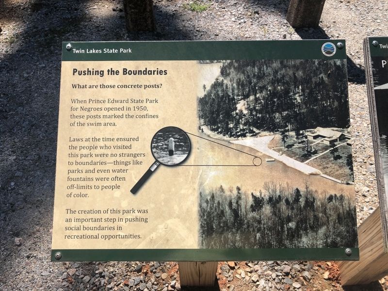
Pushing the Boundaries
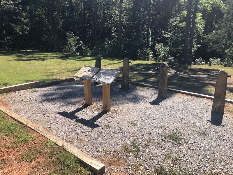
What are those concrete posts?
— Twin Lakes State Park —
When Prince Edward State Park for Negroes opened in 1950, these posts marked the confines of the swim area.
Laws at the time ensured the people who visited this park were no strangers to boundaries—things like parks and even water fountains were often off-limits to people of color.
The creation of this park was an important step in pushing social boundaries in recreational opportunities.
Erected by Department of Conservation and Recreation, Virginia State Parks.
Topics. This historical marker is listed in these topic lists: African Americans • Civil Rights • Parks & Recreational Areas. A significant historical year for this entry is 1950.
Location. 37° 10.348′ N, 78° 16.284′ W. Marker is near Burkeville, Virginia, in Prince Edward County. Marker is on County Road 697, 0.1 miles west of County Road 707, on the left when traveling south. Touch for map. Marker is at or near this postal address: 22 Co Rd 697, Burkeville VA 23922, United States of America. Touch for directions.
Other nearby markers. At least 8 other markers are within 4 miles of this marker, measured as the crow flies. Prince Edward State Park: A Refuge of Freedom (here, next to this marker); Prince Edward State Park for Negroes (about 600 feet away, measured in a direct line); Twin Lakes State Park (approx. half a mile away); a different marker also named Prince Edward State Park for Negroes (approx. 1.2 miles away); Prince Edward County / Nottoway County (approx. 2 miles away); CCC Company 1390 (approx. 3.4 miles away); Blanche Kelso Bruce (approx. 3.4 miles away); Burkeville Junction (approx. 3.9 miles away). Touch for a list and map of all markers in Burkeville.
Additional keywords. segregation; Jim Crow era
Credits. This page was last revised on September 25, 2021. It was originally submitted on September 25, 2021, by Devry Becker Jones of Washington, District of Columbia. This page has been viewed 142 times since then and 11 times this year. Photos: 1, 2. submitted on September 25, 2021, by Devry Becker Jones of Washington, District of Columbia.

