
Near Blackstone in Nottoway County, Virginia — The American South (Mid-Atlantic)
Mt. Nebo Church
Blackstone, Virginia
| — | Nottoway County | — |
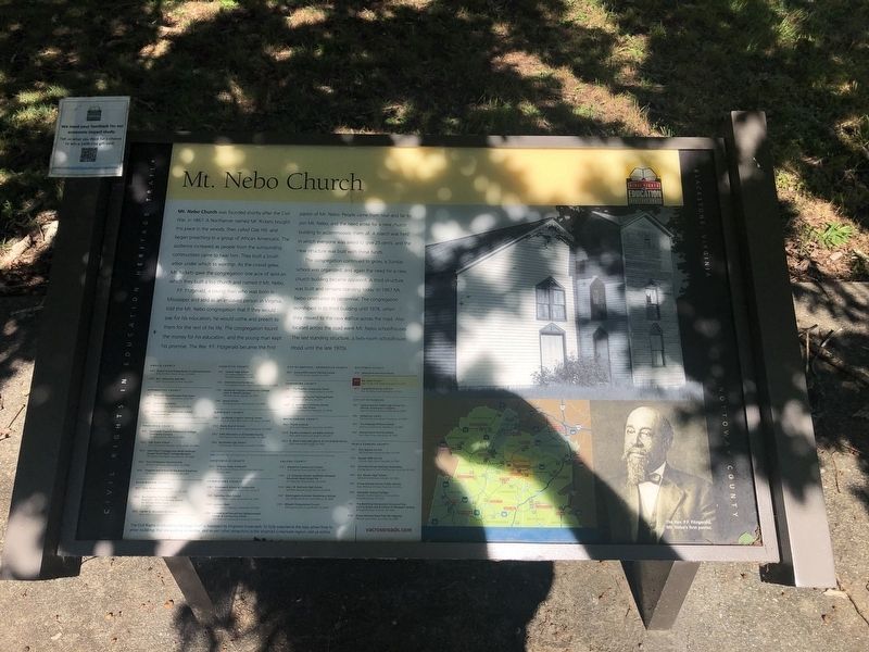
Mt. Nebo Church was founded shortly after the Civil War, in 1867. A Northerner named Mr. Rickets bought this place in the woods, then called Oak Hill, and began preaching to a group of African American. The audience increased as people from the surrounding communities came to hear him. They built a brush arbor under which to worship. As the crowd grew, Mr. Rickets gave the congregation one acre of land on which they built a log church and named it Mt. Nebo.
P.F. Fitzgerald, a young man who was born in Mississippi and sold as an enslaved person in Virginia, told the Mt. Nebo congregation that if they would pay for his education, he would come and preach to them for the rest of his life. The congregation found the money for his education, and the young man kept his promise. The Rev. P.F. Fitzgerald became the first pastor of Mt. Nebo. People came from near and far to join Mt. Nebo, and the need arose for a new church building to accommodate them all. A march was held in which everyone was asked to give 25 cents, and the new structure was built with these funds.
The congregation continued to grow, a Sunday school was
this page online
Erected by Civil Rights in Education Heritage Trail. (Marker Number NT2.)
Topics and series. This historical marker is listed in these topic lists: African Americans • Civil Rights • Education • Religion & Religious Structures. In addition, it is included in the Civil Rights in Education Heritage Trail series list. A significant historical year for this entry is 1867.
Location. 37° 6.748′ N, 78° 2.102′ W. Marker is near Blackstone, Virginia, in Nottoway County. It is on Mt. Nebo Road 0.4 miles north of Walnut Hill Road (Virginia Route 726), on the left when traveling north. Touch for map. Marker is at or near this postal address: 476 Mt Nebo Rd, Blackstone VA 23824, United States of America. Touch for directions.

Regionally,
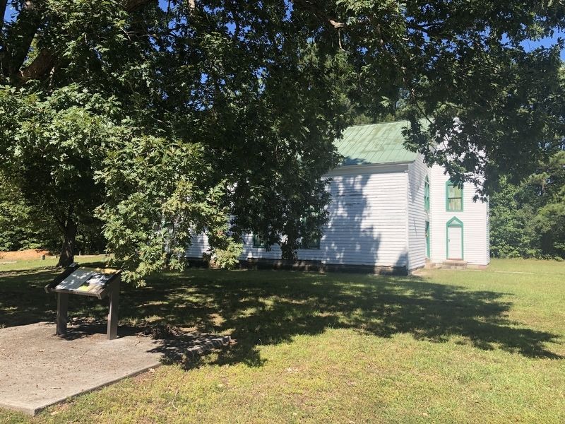
Other nearby markers. At least 8 other markers are within 3 miles of this marker, measured as the crow flies: Veterans Memorial (approx. 2.7 miles away); Nottoway Confederate Soldiers Monument (approx. 2.7 miles away); Blackstone College (approx. 2.8 miles away); a different marker also named Blackstone Female Institute (approx. 2.9 miles away); Dodge Brothers Dealership (approx. 3 miles away); The Blackstone Hotel (approx. 3 miles away); a different marker also named Veterans Memorial (approx. 3 miles away); Jamestown Oaks (approx. 3 miles away). Touch for a list and map of all markers in Blackstone.
Other markers no longer nearby. Mount Nebo Church (was here, next to this marker but has been replaced with another marker now near it); Battle of Nottoway (was approx. half a mile away but has been replaced with another marker now near it); a different marker also named Battle of Nottoway (was approx. half a mile away but has been confirmed missing); Nottoway Court House (was approx. 2.7 miles away but has been permanently removed); Blackstone Female Institute (was approx. 2.9 miles away but has been replaced with another marker now near it).
Related marker. Click here for another marker that is related to this marker. This marker has replaced the linked marker.
Credits. This page was last revised on September 26, 2021. It was originally submitted on September 26, 2021, by Devry Becker Jones of Washington, District of Columbia. This page has been viewed 451 times since then and 26 times this year. Photos: 1, 2. submitted on September 26, 2021, by Devry Becker Jones of Washington, District of Columbia.
