Near Tiptonville in Lake County, Tennessee — The American South (East South Central)
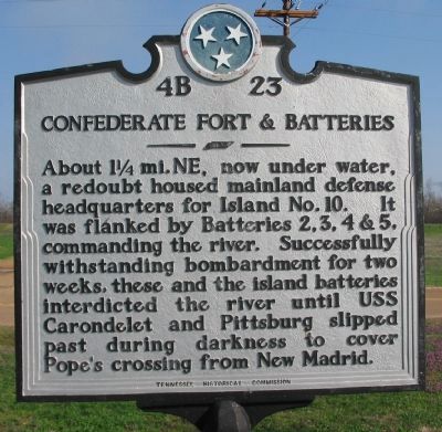
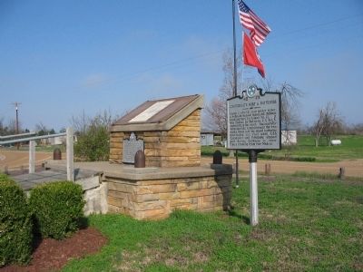
Confederate Forts & Batteries
Erected by Tennessee Historical Commission. (Marker Number 4B 23.)
Topics and series. This historical marker is listed in this topic list: War, US Civil. In addition, it is included in the Tennessee Historical Commission series list.
Location. 36° 26.609′ N, 89° 28.657′ W. Marker is near Tiptonville, Tennessee, in Lake County. Marker is at the intersection of New Markham Road and Route 22, on the right when traveling west on New Markham Road. Located at the town of Cates, north of Tiptonville. Touch for map. Marker is in this post office area: Tiptonville TN 38079, United States of America. Touch for directions.
Other nearby markers. At least 8 other markers are within 7 miles of this marker, measured as the crow flies. Capture of Island No. 10 (a few steps from this marker); Confederate Burials (approx. 0.6 miles away); Tiptonville Presbyterian Church (approx. 4½ miles away); a different marker also named Capture of Island No. 10 (approx. 4½ miles away); General Clifton Bledsoe Cates (approx. 4.6 miles away); a different marker also named General Clifton Bledsoe Cates (approx. 5.9 miles away); Civilian Conservation Corps and Reelfoot Lake State Park (approx. 6.1 miles away); Reelfoot Lake (approx. 6.1 miles away). Touch for a list and map of all markers in Tiptonville.

Photographed By Craig Swain, March 17, 2009
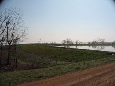
3. Mississippi River at Kentucky Bend Today
Looking south from a recreation area down river from the marker location. The Mississippi river makes two sharp bends here, first turning to the west, then to the north. The river makes another set of turns to form a full "S" bend before passing New Madrid, Missouri. This set of bends made it a logical choice for the Confederates to defend against the Federals advancing down river.

Photographed By Craig Swain, March 17, 2009
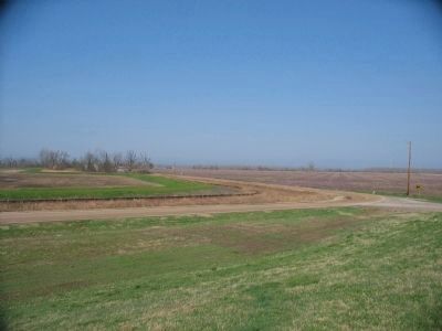
4. The Neck of the Bend
The bend forms a geographical oddity of sorts. Looking west from the levee across the peninsula formed by the "S" bends. Looking down the road, in the distant center, beyond the two story structure, is the southward turn of the river. In that direction is the Missouri shore, and Point Pleasant, where Federal forces made a crossing to Tiptonville, Tennessee to cut off the Confederate defenders. Beyond the right is the Tennessee/Kentucky border. The land inside the northern end of the peninsula is part of Kentucky, but surrounded on three sides by Missouri, and to the south by Tennessee.
Credits. This page was last revised on January 30, 2017. It was originally submitted on April 24, 2009, by Craig Swain of Leesburg, Virginia. This page has been viewed 1,821 times since then and 16 times this year. Photos: 1, 2, 3, 4. submitted on April 24, 2009, by Craig Swain of Leesburg, Virginia.

