Montgomery in Montgomery County, Alabama — The American South (East South Central)
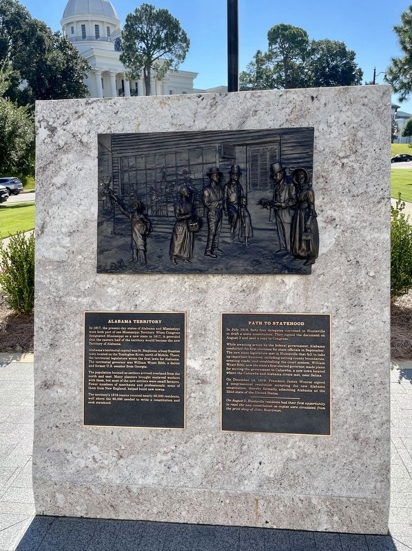
Alabama Territory / Path to Statehood
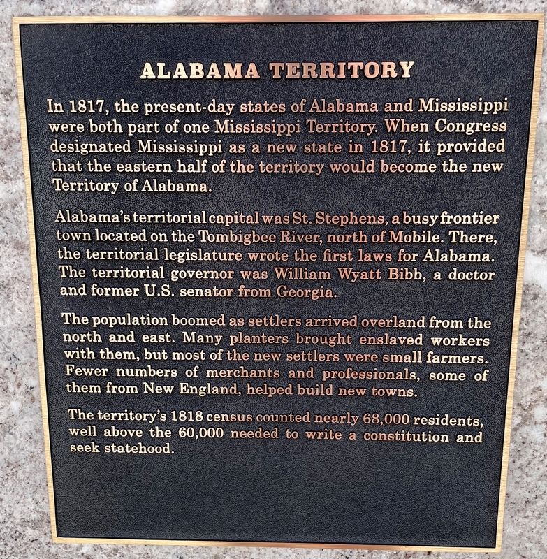
Alabama's territorial capital was St. Stephens, a busy frontier town located on the Tombigbee River, north of Mobile. There, the territorial legislature wrote the first laws for Alabama. The territorial governor was William Wyatt Bibb, a doctor and former U.S. senator from Georgia.
The population boomed as settlers arrived overland from the north and east. Many planters brought enslaved workers with them, but most of the new settlers were small farmers. Fewer numbers of merchants and professionals, some of them from New England, helped build new towns.
The territory's 1818 census counted nearly 68,000 residents, well above the 60,000 needed to write a constitution and seek statehood.
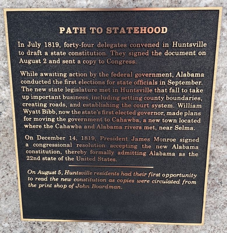
While awaiting action by the federal government, Alabama conducted the first elections for state officials in September. The new state legislature met in Huntsville that fall to take up important business, including setting county boundaries, creating roads, and establishing the court system. William Wyatt Bibb, now the state's first elected governor, made plans for moving the government to Cahawba, a new town located where the Cahawba and Alabama rivers met, near Selma.
On December 14, 1819, President James Monroe signed a congressional resolution accepting the new Alabama constitution, thereby formally admitting Alabama as the 22nd state of the United States.
On August 5, Huntsville residents had their first opportunity to read the new constitution as copies were circulated from the print shop of John Boardman.
Erected 2019 by the Alabama Bicentennial Commission.
Topics. This historical marker is listed in this topic list: Political Subdivisions. A significant historical month for this entry is July 1819.
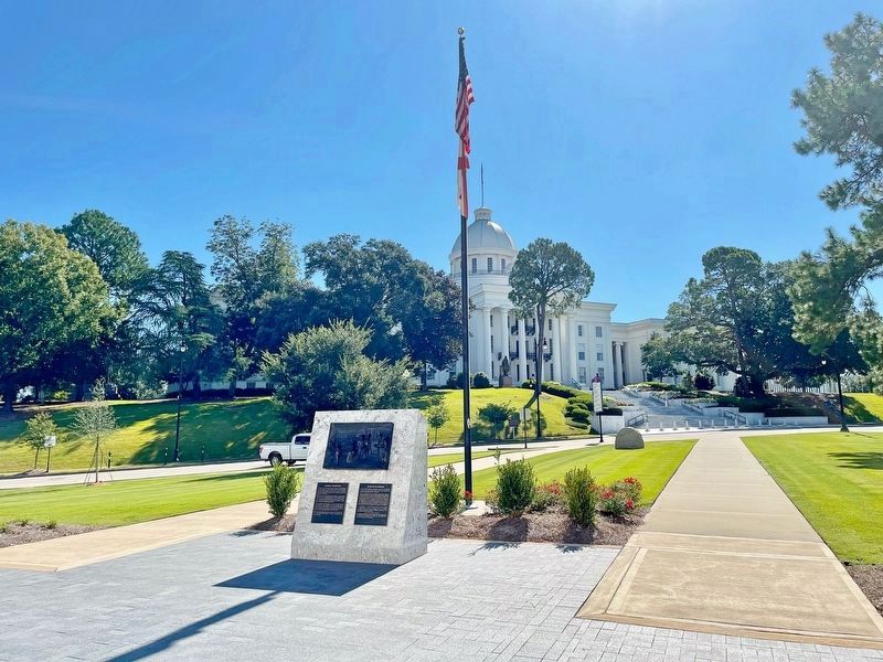
Location. 32° 22.695′ N, 86° 18.107′ W. Marker is in Montgomery, Alabama, in Montgomery County. Marker can be reached from the intersection of North Bainbridge Street and Dexter Avenue, on the right when traveling south. Located in Alabama Bicentennial Park in front of the Lurleen B. Wallace Office Building. Touch for map. Marker is at or near this postal address: 500 Dexter Ave, Montgomery AL 36130, United States of America. Touch for directions.
Other nearby markers. At least 8 other markers are within walking distance of this marker. Cotton State / Slavery (a few steps from this marker); Resistance and War / Alabama Fever (a few steps from this marker); Alabama's First Peoples / Creek Country (a few steps from this marker); Secession & Confederacy / Civil War (a few steps from this marker); Emancipation / Reconstruction (within shouting distance of this marker); George Washington (within shouting distance of this marker); Alabama Bicentennial Park / Ancient Sea (within shouting distance of this marker); Industrialization / Iron Boom (within shouting distance of this marker). Touch for a list and map of all markers in Montgomery.
Credits. This page was last revised on September 26, 2021. It was originally submitted on September 26, 2021, by Mark Hilton of Montgomery, Alabama. This page has been viewed 196 times since then and 48 times this year. Photos: 1, 2, 3, 4. submitted on September 26, 2021, by Mark Hilton of Montgomery, Alabama.


