Mount Vernon in Fairfax County, Virginia — The American South (Mid-Atlantic)
Icehouse
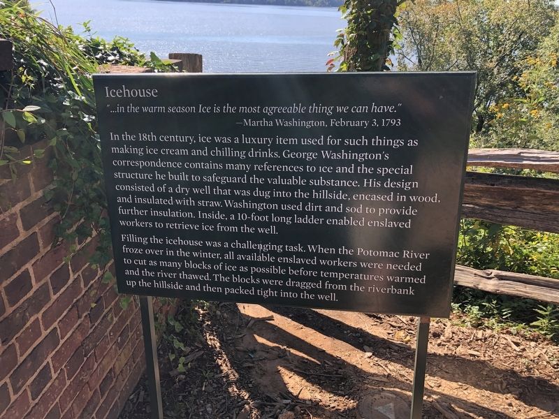
"…in the warm season Ice is the most agreeable thing we can have."
— Martha Washington, February 3, 1793
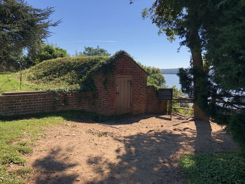
In the 18th century, ice was a luxury item used for such things as making ice cream and chilling drinks. George Washington's correspondence contains many references to ice and the special structure he built to safeguard the valuable substance. His design consisted of a dry well that was dug into the hillside, encased in wood, and insulated with straw. Washington used dirt and sod to provide further insulation. Inside, a 10-foot long ladder enabled enslaved workers to retrieve ice from the well.
Filling the icehouse was a challenging task. When the Potomac River froze over in the winter, all available enslaved workers were needed to cut as many blocks of ice as possible before temperatures warmed and the river thawed. The blocks were dragged from the riverbank up the hillside and then packed tight into the well.
Topics and series. This historical marker is listed in these topic lists: African Americans • Agriculture • Architecture. In addition, it is included in the Former U.S. Presidents: #01 George Washington
this page online
Location. 38° 42.422′ N, 77° 5.189′ W. Marker is in Mount Vernon, Virginia, in Fairfax County. It can be reached from George Washington Memorial Parkway east of Mount Vernon Memorial Highway (Virginia Route 235), on the right when traveling east. Touch for map. Marker is in this post office area: Alexandria VA 22309, United States of America. Touch for directions.

Regionally, this marker is in the Washington Metropolitan Area and in Northern Virginia. It is also in the American South, specifically in the Upper South, in the Mid-Atlantic, and on the Eastern Seaboard. Globally, it is in the North Atlantic Region, North America, the Western Hemisphere, the Western World, and the Anglosphere. Historically, it finds itself in what was once the territory of the Mississippian Culture, one of the original Thirteen Colonies, one of the Confederate States of America, and the Antebellum South.
Other nearby markers. At least 8 other markers are within walking distance of this marker: Ha-ha Walls (a few steps from this marker); Dung Repository (within shouting distance of
Credits. This page was last revised on September 26, 2021. It was originally submitted on September 26, 2021, by Devry Becker Jones of Washington, District of Columbia. This page has been viewed 236 times since then and 15 times this year. Photos: 1, 2. submitted on September 26, 2021, by Devry Becker Jones of Washington, District of Columbia.
