Mount Vernon near Alexandria in Fairfax County, Virginia — The American South (Mid-Atlantic)
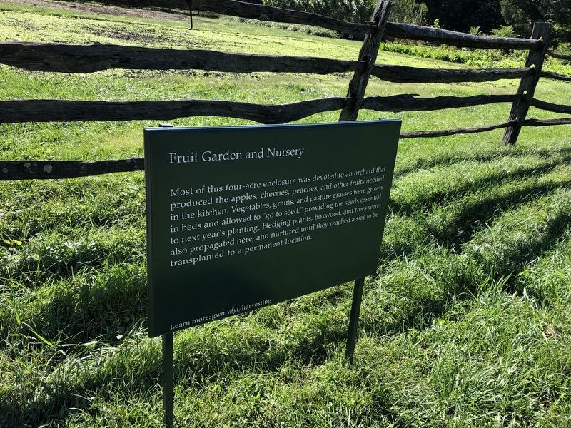
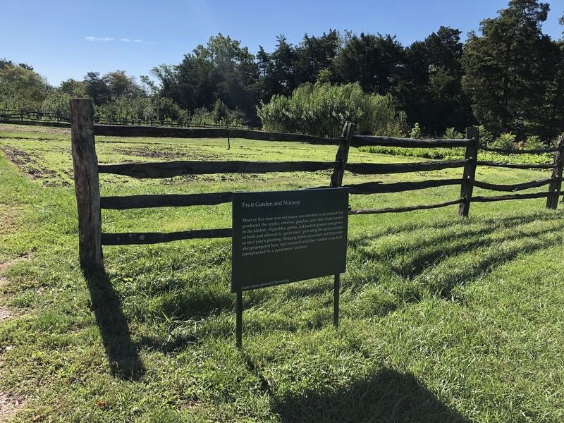
Fruit Garden and Nursery
Topics. This historical marker is listed in these topic lists: Agriculture • Horticulture & Forestry.
Location. 38° 42.451′ N, 77° 5.332′ W. Marker is near Alexandria, Virginia, in Fairfax County. It is in Mount Vernon. It can be reached from George Washington Memorial Parkway east of Mount Vernon Memorial Highway (Virginia Route 235), on the right when traveling east. Touch for map. Marker is in this post office area: Alexandria VA 22309, United States of America. Touch for directions.

Regionally, this marker is in the Washington Metropolitan Area and in Northern Virginia. It is also in the American South, specifically in the Upper South,
this page online
Other nearby markers. At least 8 other markers are within walking distance of this marker: Seed Beds (within shouting distance of this marker); Nursery Beds (within shouting distance of this marker); Forest (within shouting distance of this marker); Red Devon Cattle (within shouting distance of this marker); Ossabaw Island Hogs (about 300 feet away, measured in a direct line); Slavery at Mount Vernon (about 300 feet away); The Fruit Garden (about 300 feet away); Fence and Ditch (about 300 feet away). Touch for a list and map of all markers in Alexandria.
Credits. This page was last revised on January 27, 2023. It was originally submitted on September 26, 2021, by Devry Becker Jones of Washington, District of Columbia. This page has been viewed 272 times since then and 15 times this year. Photos: 1, 2. submitted on September 26, 2021, by Devry Becker Jones of Washington, District of Columbia.
