Montgomery in Montgomery County, Alabama — The American South (East South Central)
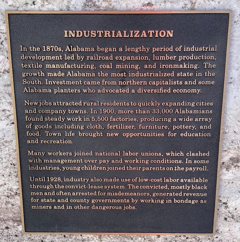
Industrialization
⎯⎯⎯
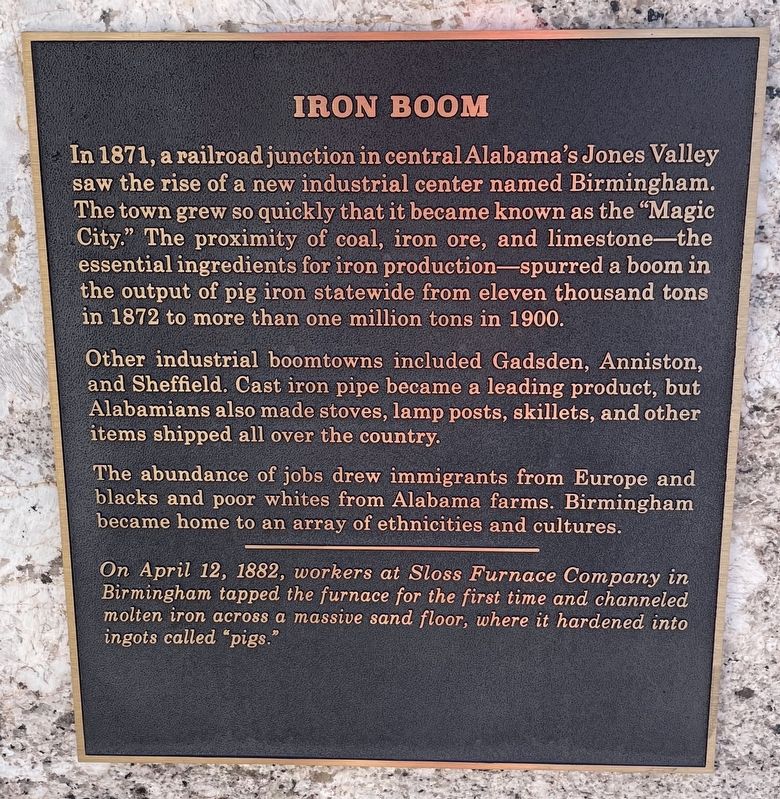
Iron Boom
Photographed by Mark Hilton, September 26, 2021
1. Industrialization Marker
New jobs attracted rural residents to quickly expanding cities and company towns. In 1900, more than 33,000 Alabamians found steady work in 5,500 factories, producing a wide array of goods including cloth, fertilizer, furniture, pottery, and food. Town life brought new opportunities for education and recreation.
Many workers joined national labor unions, which clashed with management over pay and working conditions. In some industries, young children joined their parents on the payroll.
Until 1928, industry also made use of low-cost labor available through the convict-lease system. The convicted, mostly black men and often arrested for misdemeanors, generated revenue for state and county governments by working in bondage as miners and in other
this page online
Other industrial boomtowns included Gadsden, Anniston, and Sheffield. Cast iron pipe became a leading product, but Alabamians also made stoves, lamp posts, skillets, and other items shipped all over the country.
The abundance of jobs drew immigrants from Europe and blacks and poor whites from Alabama farms. Birmingham became home to an array of ethnicities and cultures.
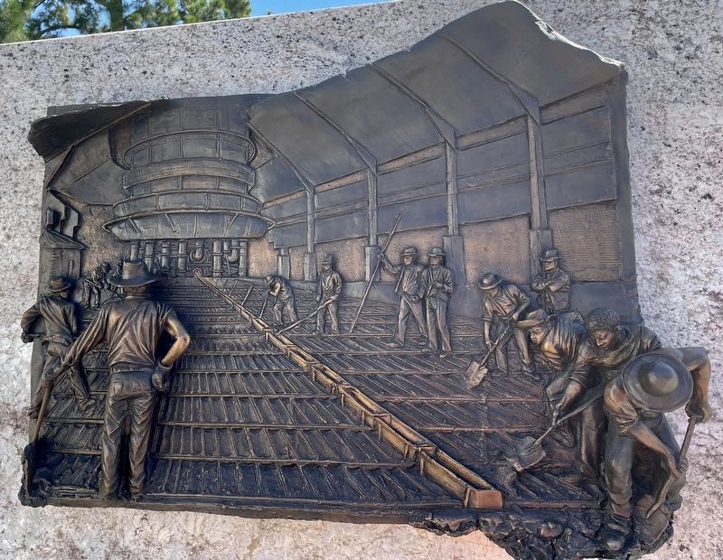
On April 12, 1882, workers at Sloss Furnace Company in Birmingham tapped the furnace for the first time and channeled molten iron across a massive sand floor, where it hardened into ingots called "pigs."
Erected 2019 by the Alabama Bicentennial Commission.
Topics. This historical marker is listed in this
Photographed by Mark Hilton, September 26, 2021
2. Iron Boom Marker
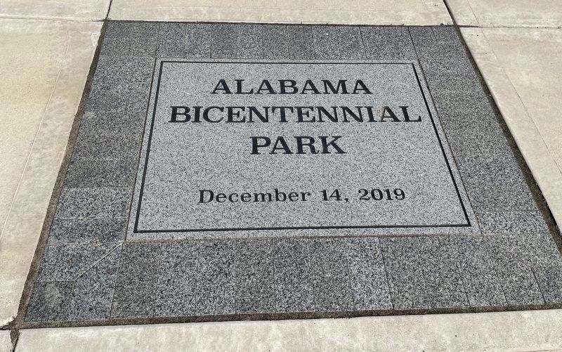
Location. 32° 22.669′ N, 86° 18.118′ W. Marker is in Montgomery, Alabama, in Montgomery County. It is on Dexter Avenue west of North Bainbridge Street, on the left when traveling east. Located in Alabama Bicentennial Park in front of the Lurleen B. Wallace Office Building. Touch for map. Marker is at or near this postal address: 500 Dexter Ave, Montgomery AL 36130, United States of America. Touch for directions.

Regionally, this marker is in the Tri-Counties River Region. It is also in the American South, specifically in the Deep South, and in the Black Belt. Globally, it is in North America, a Gulf of Mexico state, the Western Hemisphere, the Western World, and the Anglosphere. Historically, it finds itself in what was once the territory of the Mississippian Culture, one of the Confederate States of America, and the Antebellum South.
Other nearby markers. At least 8 other markers are within walking distance of this marker: Emancipation / Reconstruction (a few steps from this marker); Secession & Confederacy / Civil War (within shouting distance
Photographed by Mark Hilton, September 26, 2021
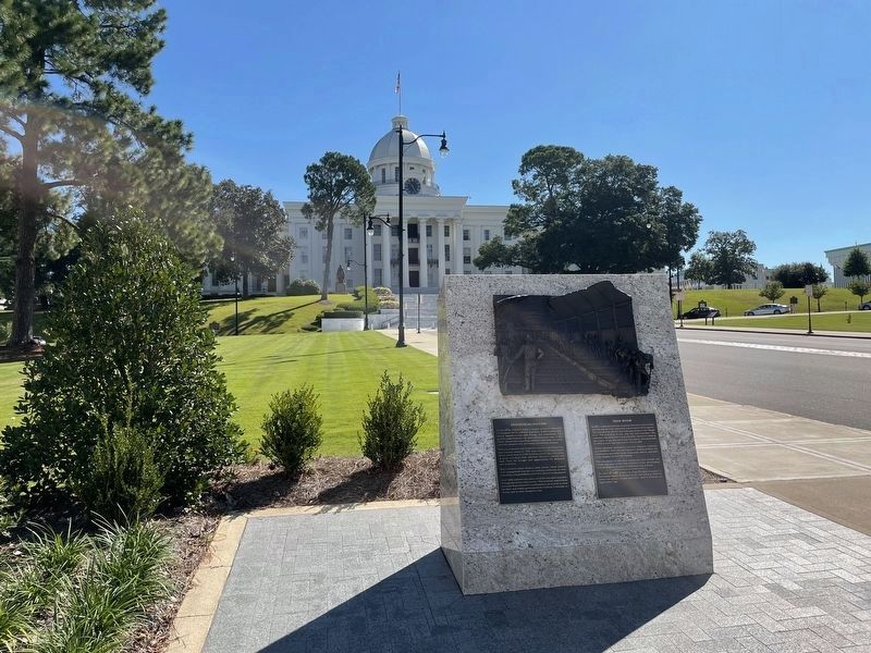
3. Industrialization / Iron Boom Marker with the Alabama State Capitol in background.
Photographed by Mark Hilton, September 26, 2021
4. Closeup of bronze relief scuplture.
Photographed by Mark Hilton, September 26, 2021
5. Markers are located in the Alabama Bicentennial Park.
Credits. This page was last revised on September 26, 2021. It was originally submitted on September 26, 2021, by Mark Hilton of Montgomery, Alabama. This page has been viewed 753 times since then and 51 times this year. Photos: 1, 2, 3, 4, 5. submitted on September 26, 2021, by Mark Hilton of Montgomery, Alabama.
