Mount Vernon near Alexandria in Fairfax County, Virginia — The American South (Mid-Atlantic)
Soil Improvements
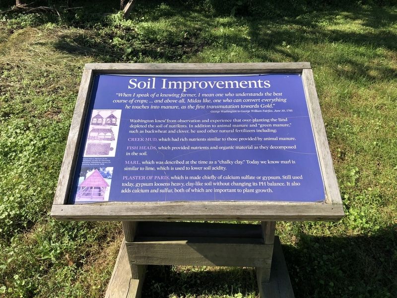
"When I speak of a knowing farmer, I mean one who understands the best course of crops; … and above all, Midas like, one who can convert everything he touches into manure, as the first transmutation towards Gold."
George Washington to George William Fairfax, June 30, 1785
Washington knew from observation and experience that over planting the land depleted the soil of nutrients. In addition to animal manure and "green manure," such as buckwheat and clover, he used other natural fertilizers including:
Creek mud, which had rich nutrients similar to those provided by animal manure.
Fish heads, which provided nutrients and organic material as they decomposed in the soil.
Marl, which was described at the time as "chalky clay." Today we know marl is similar to lime, which is used to lower soil acidity.
Plaster of Paris, which is made chiefly of calcium sulfate or gypsum. Still used today, gypsum loosens heavy, clay-like soil without changing its PH balance. It also adds calcium and sulfur, both of which are important to plant growth.
Topics and series. This historical marker is listed in these topic lists:
this page online
Location. 38° 42.788′ N, 77° 5.287′ W. Marker is near Alexandria, Virginia, in Fairfax County. It is in Mount Vernon. It can be reached from the intersection of Mount Vernon Memorial Highway (Route 235) and George Washington Memorial Parkway, on the right when traveling east. Touch for map. Marker is in this post office area: Alexandria VA 22309, United States of America. Touch for directions.

Regionally, this marker is in the Washington Metropolitan Area and in Northern Virginia. It is also in the American South, specifically in the Upper South, in the Mid-Atlantic, and on the Eastern Seaboard. Globally, it is in the North Atlantic Region, North America, the Western Hemisphere, the Western World, and the Anglosphere. Historically, it finds itself in what was once the territory of the Mississippian Culture, one of the original Thirteen Colonies, one of the Confederate States of America, and the Antebellum South.
Other nearby markers. At
Credits. This page was last revised on January 27, 2023. It was originally submitted on September 27, 2021, by Devry Becker Jones of Washington, District of Columbia. This page has been viewed 260 times since then and 15 times this year. Photos: 1, 2. submitted on September 27, 2021, by Devry Becker Jones of Washington, District of Columbia.
