Taylor Ranch in Albuquerque in Bernalillo County, New Mexico — The American Mountains (Southwest)
Mesa Point Trail
Boca Negra Canyon
Boca Negra Canyon
Mesa Point Trail
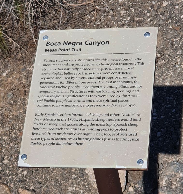
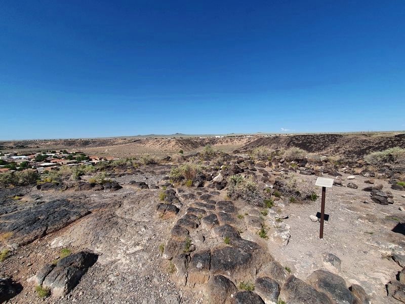
Several stacked rock structures like this one are found in the monument and are protected as archeological resources. This structure has naturally eroded to its present state. Local archeologists believe rock structures were constructed, repaired and used by several cultural groups over multiple generations for different purposes. The first inhabitants, the Ancestral Pueblo people, used them as hunting blinds and for temporary shelter. Structures with east-facing openings had special religious significance as they were used by the Ancestral Pueblo people as shrines and these spiritual places continue to have importance to present-day Native people.
Early Spanish settlers introduced sheep and other livestock to New Mexico in the 1700s. Hispanic sheep herders would tend flocks of sheep that grazed along the mesa top. Spanish sheep herders used rock structures as holding pens to protect livestock from predators over night. They, too, probably used these types of structures as hunting blinds just as the Ancestral Pueblo people did before them.
Erected by National Park Service, United States Department of the Interior.
Topics. This historical marker is listed in these topic lists: Anthropology & Archaeology • Arts, Letters, Music • Native Americans.
Location. 35° 9.676′ N, 106° 42.928′ W. Marker is in Albuquerque, New Mexico, in Bernalillo County. It is in Taylor Ranch. Marker is on Mesa Point Trail east of Atrisco Drive NW. Touch for map. Marker is in this post office area: Albuquerque NM 87120, United States of America. Touch for directions.
Other nearby markers. At least 8 other markers are within walking distance of this marker. A different marker also named Mesa Point Trail (within shouting distance of this marker); a different marker also named Mesa Point Trail (within shouting distance of this marker); a different marker also named Mesa Point Trail (about 300 feet away, measured in a direct line); a different marker also named Mesa Point Trail (about 300 feet away); a different marker also named Mesa Point Trail (about 300 feet away); Boca Negra Canyon (about 400 feet away); Macaw Trail (approx. 0.2 miles away); a different marker also named Macaw Trail (approx. 0.2 miles away). Touch for a list and map of all markers in Albuquerque.
Credits. This page was last revised on February 2, 2023. It was originally submitted on September 28, 2021, by J. Makali Bruton of Accra, Ghana. This page has been viewed 90 times since then and 4 times this year. Photos: 1, 2, 3. submitted on September 28, 2021, by J. Makali Bruton of Accra, Ghana.


