Russellville in Logan County, Kentucky — The American South (East South Central)
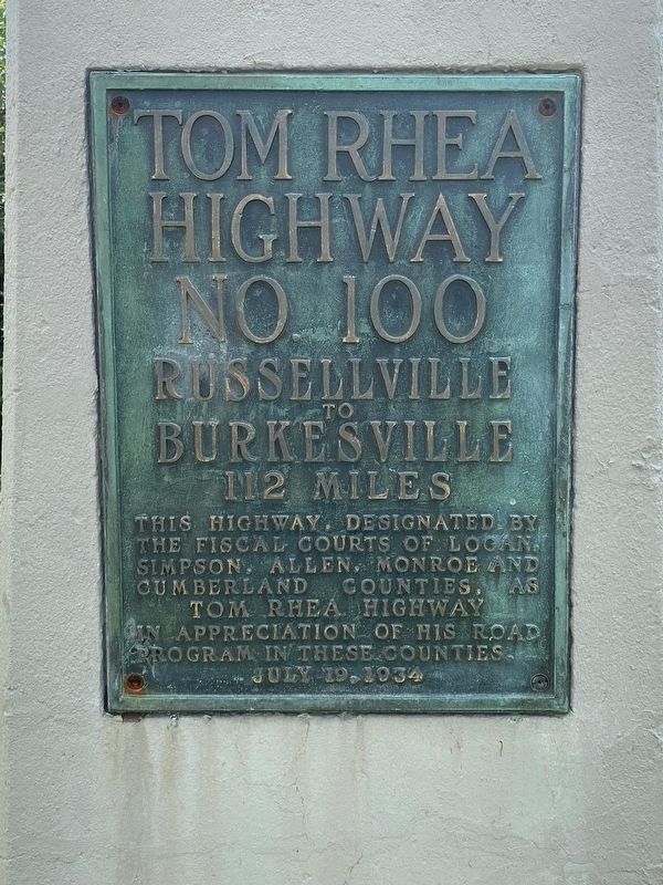
Tom Rhea Highway No. 100
Russellville to Burkesville
— 112 Miles —
Erected 1934.
Topics. This historical marker is listed in this topic list: Roads & Vehicles.
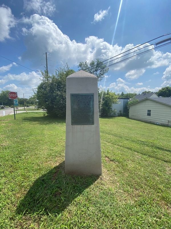
Location. 36° 50.586′ N, 86° 52.3′ W. Marker is in Russellville, Kentucky, in Logan County. Marker is at the intersection of Franklin Road and Bowling Green Road (Business U.S. 68), on the left when traveling north on Franklin Road. Touch for map. Marker is at or near this postal address: 37 Franklin Rd, Russellville KY 42276, United States of America. Touch for directions.
Other nearby markers. At least 8 other markers are within walking distance of this marker. Cedar House (within shouting distance of this marker); Origin of Federal Highway U.S. 79 (approx. 0.4 miles away); John Littlejohn Cemetery (approx. 0.7 miles away); Ken Barrett Field (approx. 0.7 miles away); Rhea Stadium (approx. 0.7 miles away); O'Bannon House (approx. 0.8 miles away); Governors' Corner (approx. 0.8 miles away); United Methodist Temple (approx. 0.8 miles away). Touch for a list and map of all markers in Russellville.
Credits. This page was last revised on October 6, 2021. It was originally submitted on September 28, 2021, by Darren Jefferson Clay of Duluth, Georgia. This page has been viewed 134 times since then and 18 times this year. Photos: 1, 2. submitted on September 28, 2021, by Darren Jefferson Clay of Duluth, Georgia. • Devry Becker Jones was the editor who published this page.

