Taylor Ranch in Albuquerque in Bernalillo County, New Mexico — The American Mountains (Southwest)
Mesa Point Trail
Boca Negra Canyon
Boca Negra Canyon
Mesa Point Trail
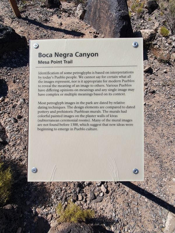
Identification of some petroglyphs is based on interpretations by today's Pueblo people. We cannot say for certain what all the images represent, nor is it appropriate for modern Pueblos to reveal the meaning of an image to others. Various Pueblos have differing opinions on meanings and any single image may have complex or multiple meanings based on its context.
Most petroglyph images in the park are dated by relative dating techniques. The design elements are compared to dated pottery and prehistoric Puebloan murals. The murals had colorful painted images on the plaster walls of kivas (subterranean ceremonial rooms). Many of the mural images are not found before 1300, which suggest that new ideas were beginning to emerge in Pueblo culture.
Erected by National Park Service, United States Department of the Interior.
Topics. This historical marker is listed in these topic lists: Anthropology & Archaeology • Native Americans. A significant historical year for this entry is 1300.
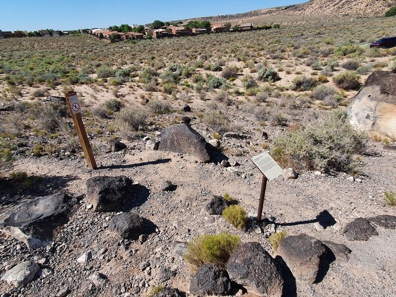
Location. 35° 9.644′ N, 106° 42.969′ W. Marker is in Albuquerque, New Mexico, in Bernalillo County. It is in Taylor Ranch. Marker is on Mesa Point Trail east of Atrisco Drive NW when traveling east. The marker is along the Mesa Point walking trail. Touch for map. Marker is in this post office area: Albuquerque NM 87120, United States of America. Touch for directions.
Other nearby markers. At least 8 other markers are within walking distance of this marker. A different marker also named Mesa Point Trail (a few steps from this marker); a different marker also named Mesa Point Trail (a few steps from this marker); a different marker also named Mesa Point Trail (a few steps from this marker); Boca Negra Canyon (within shouting distance of this marker); a different marker also named Mesa Point Trail (within shouting distance of this marker); a different marker also named Mesa Point Trail (about 300 feet away, measured in a direct line); Macaw Trail (approx. 0.2 miles away); Petroglyph National Monument (approx. 0.2 miles away). Touch for a list and map of all markers in Albuquerque.
Credits. This page was last revised on February 2, 2023. It was originally submitted on September 28, 2021, by J. Makali Bruton of Accra, Ghana. This page has been viewed 97 times since then and 10 times this year. Photos: 1, 2. submitted on September 28, 2021, by J. Makali Bruton of Accra, Ghana.

