Old Saybrook Center in Middlesex County, Connecticut — The American Northeast (New England)
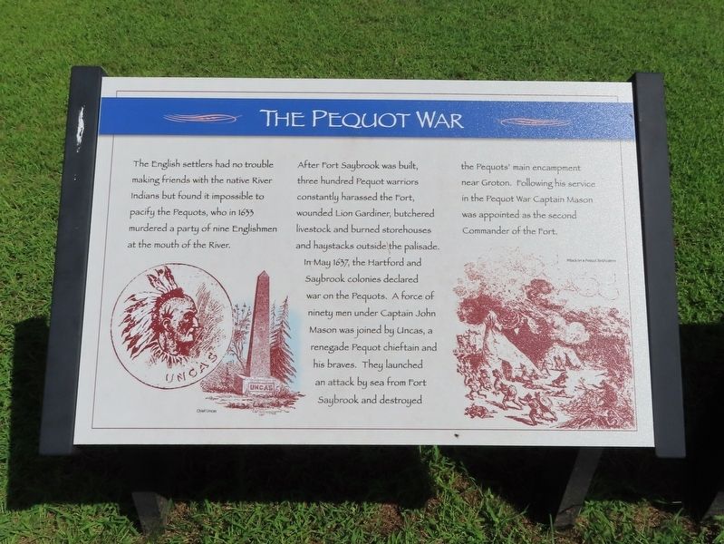
The Pequot War
The English settlers had no trouble making friends with the native River Indians but found it impossible to pacify the Pequots, who in 1633 murdered a party of nine Englishmen at the mouth of the River.
After Fort Saybrook was built, three hundred Pequot warriors constantly harassed the fort, wounded Lion Gardiner, butchered livestock and burned storehouses and haystacks outside the palisade. In May 1637, the Hartford and Saybrook colonies declared war on the Pequots. A force of ninety men under Captain John Mason was joined by Uncas, a renegade Pequot chieftain and his braves. They launched an attack by sea from Fort Saybrook and destroyed the Pequots’ main encampment near Groton. Following his service in the Pequot War Captain Mason was appointed as the second Commander of the Fort.
Topics. This historical marker is listed in these topic lists: Colonial Era • Native Americans. A significant historical month for this entry is May 1637.
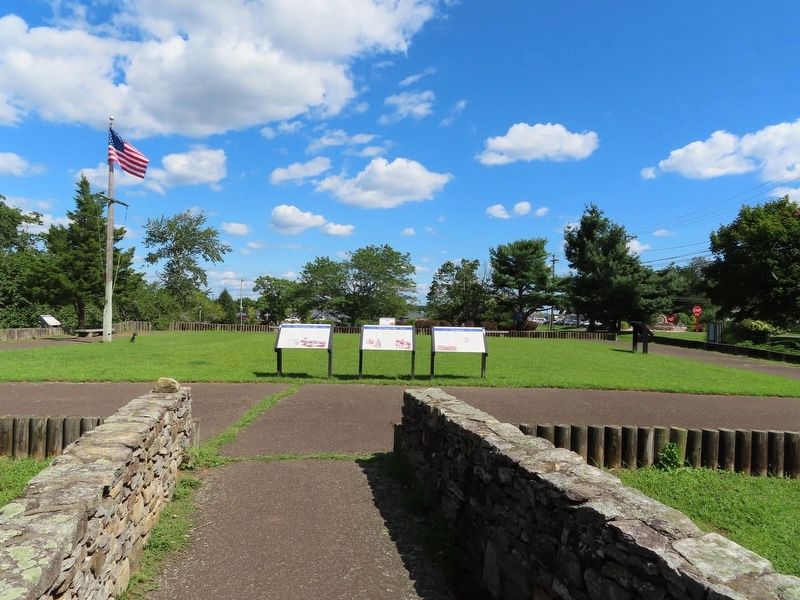
Location. 41° 17.056′ N, 72° 21.134′ W. Marker is in Old Saybrook, Connecticut, in Middlesex County. It is in Old Saybrook Center. Marker can be reached from College Street (Connecticut Route 154) east of Fenwick Street, on the left when traveling east. Located in Fort Saybrook Monument Park. Touch for map. Marker is in this post office area: Old Saybrook CT 06475, United States of America. Touch for directions.
Other nearby markers. At least 8 other markers are within walking distance of this marker. The Fenwicks (here, next to this marker); Fort Saybrook – 1635 (here, next to this marker); Winthrop and the Warwick Patent (a few steps from this marker); The Connecticut River (a few steps from this marker); The Saybrook Bar (within shouting distance of this marker); Fishing on the Connecticut (within shouting distance of this marker); Battlefields of the Pequot War (within shouting distance of this marker); Lion Gardiner (within shouting distance of this marker). Touch for a list and map of all markers in Old Saybrook.
Also see . . . Old Saybrook Historical Society. (Submitted on October 4, 2021, by Michael Herrick of Southbury, Connecticut.)
Credits. This page was last revised on February 10, 2023. It was originally submitted on September 28, 2021, by Michael Herrick of Southbury, Connecticut. This page has been viewed 119 times since then and 10 times this year. Photos: 1, 2. submitted on September 28, 2021, by Michael Herrick of Southbury, Connecticut.

