Dana Point in Orange County, California — The American West (Pacific Coastal)
Doheny State Beach
Photographed by Adam Margolis, October 3, 2021
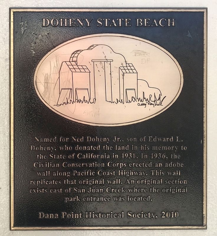
1. Doheny State Beach Marker
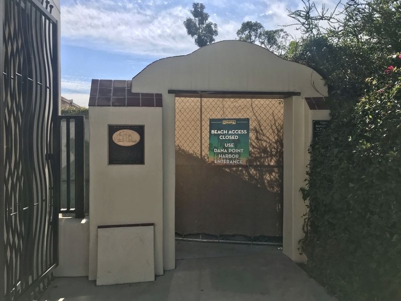
Named for Ned Doheny Jr., son of Edward L. Doheny, who donated the land in his memory to the State of California in 1931. In 1936, the Civilian Conservation Corps erected an adobe wall along Pacific Coast Highway. This wall replicates that original wall. An original section exists east of San Juan Creek where the original park entrance was located.
Erected 2010 by Dana Point Historical Society.
Topics. This historical marker is listed in these topic lists: Parks & Recreational Areas • Roads & Vehicles. A significant historical year for this entry is 1936.
Location. 33° 27.878′ N, 117° 41.219′ W. Marker is in Dana Point, California, in Orange County. It is at the intersection of Pacific Coast Highway (California Route 1) and Del Obispo Street, on the right when traveling east on Pacific Coast Highway. Touch for map. Marker is at or near this postal address: 34400 Pacific Coast Highway, Capistrano Beach CA 92624, United States of America. Touch for directions.

Regionally, this marker is in Greater Los Angeles and in the Peninsular Ranges. It is also on the American Pacific Coast. Globally, it is in North America,
this page online
Other nearby markers. At least 8 other markers are within walking distance of this marker: Dana Point (within shouting distance of this marker); Phil Edwards (b. 1938) (within shouting distance of this marker); John Severson (1933-2017) (within shouting distance of this marker); Hobie Cat (within shouting distance of this marker); Hobie Alter (within shouting distance of this marker); Bruce Brown (1937-2017) (within shouting distance of this marker); Surfin' Dana Point (about 300 feet away, measured in a direct line); The Endless Summer (about 300 feet away). Touch for a list and map of all markers in Dana Point.
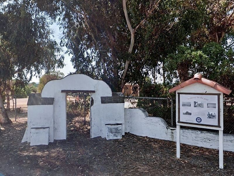
Related marker. Click here for another marker that is related to this marker. - The original wall, located near the campground.
Photographed by Adam Margolis, October 3, 2021
2. Doheny State Beach Marker
Photographed by Craig Baker, 2017
3. Original Wall
Located nearby, at Pacific Coast Hwy and Park Lantern road.
Credits. This page was last revised on March 14, 2022. It was originally submitted on October 3, 2021, by Adam Margolis of Mission Viejo, California. This page has been viewed 459 times since then and 52 times this year. Photos: 1, 2. submitted on October 3, 2021, by Adam Margolis of Mission Viejo, California. 3. submitted on October 13, 2021, by Craig Baker of Sylmar, California. • J. Makali Bruton was the editor who published this page.
