Lancaster in Fairfield County, Ohio — The American Midwest (Great Lakes)
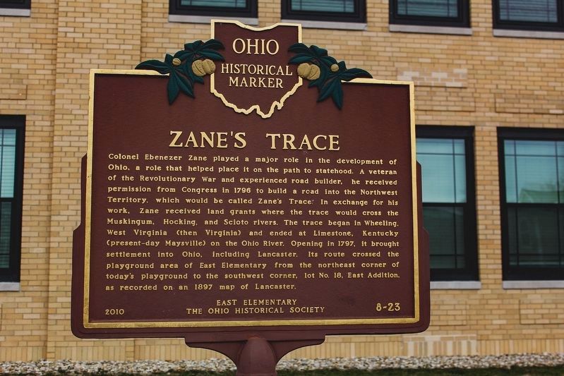
Zane's Trace
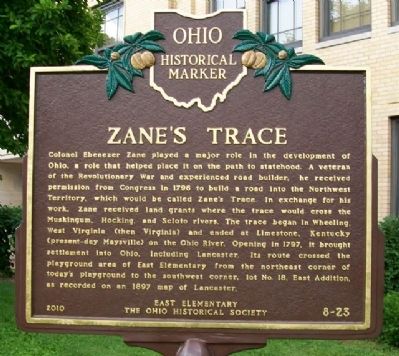
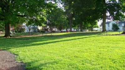
Colonel Ebenezer Zane played a major role in the development of Ohio, a role that helped place it on the path to statehood. A veteran of the Revolutionary War and experienced road builder, he received permission from Congress in 1796 to build a road into the Northwest Territory, which would be called Zane's Trace. In exchange for his work, Zane received land grants where the trace would cross the Muskingum, Hocking, and Scioto rivers. The trace began in Wheeling, West Virginia (then Virginia) and ended at Limestone, Kentucky (present-day Maysville) on the Ohio River. Opening in 1797, it brought settlement into Ohio, including Lancaster. Its route crossed the playground area of East Elementary from the northeast corner of today's playground to the southwest corner, lot #18, East Addition, as recorded on an 1897 map of Lancaster.
Erected 2010 by East Elementary and The Ohio Historical Society. (Marker Number 8-23.)
Topics and series. This historical marker is listed in these topic lists: Man-Made Features • Roads & Vehicles • Settlements & Settlers • War, US Revolutionary. In addition, it is included in the Ohio Historical Society / The Ohio History Connection series list. A significant historical year for this entry is 1796.
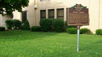
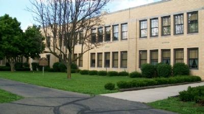
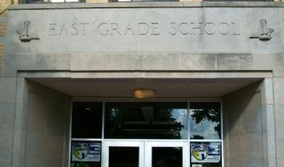
Location. 39° 42.918′ N, 82° 35.123′ W. Marker is in Lancaster, Ohio, in Fairfield County. Marker is at the intersection of Wheeling Street and Eastwood Avenue, on the left when traveling east on Wheeling Street. Marker is near the entrance to the former East Elementary School. The school was closed and converted into apartments. The building is now known as East Point Apartments and Lofts. The main entrance is on the west side of the building, halfway between East Wheeling Street and East Mulberry Street. Touch for map. Marker is at or near this postal address: 751 East Wheeling Street, Lancaster OH 43130, United States of America. Touch for directions.
Other nearby markers. At least 8 other markers are within walking distance of this marker. Maple Street United Evangelical Chapel Cornerstone (approx. half a mile away); Fairfield County Veterans Service Commission Veterans Memorial (approx. 0.7 miles away); Fairfield County Memorial Mural (approx. 0.7 miles away); The Basilica of St. Mary of the Assumption (approx. ¾ mile away); Saint Mary of the Assumption Catholic Church (approx. ¾ mile away); St. Mary's Church Centennial (approx. ¾ mile away); The Original Lancaster Methodist's Bell (approx. ¾ mile away); Thomas Ewing House (approx. ¾ mile away). Touch for a list and map of all markers in Lancaster.
Also see . . .
1. Zane's Trace. Ohio History central website entry (Submitted on August 29, 2010, by William Fischer, Jr. of Scranton, Pennsylvania.)
2. Ebenezer Zane. Ohio History Central website entry (Submitted on August 29, 2010, by William Fischer, Jr. of Scranton, Pennsylvania.)
3. Lancaster, Ohio. Ohio History Central website entry (Submitted on August 29, 2010, by William Fischer, Jr. of Scranton, Pennsylvania.)
Credits. This page was last revised on August 7, 2023. It was originally submitted on August 29, 2010, by William Fischer, Jr. of Scranton, Pennsylvania. This page has been viewed 993 times since then and 16 times this year. Last updated on October 4, 2021, by Grant & Mary Ann Fish of Galloway, Ohio. Photos: 1. submitted on May 13, 2023, by Alex Krempasky of Obetz, Ohio. 2, 3, 4, 5, 6, 7. submitted on August 29, 2010, by William Fischer, Jr. of Scranton, Pennsylvania. • J. Makali Bruton was the editor who published this page.
