Boerum Hill in Brooklyn in Kings County, New York — The American Northeast (Mid-Atlantic)
Brooklyn Civic Center
⎯⎯⎯
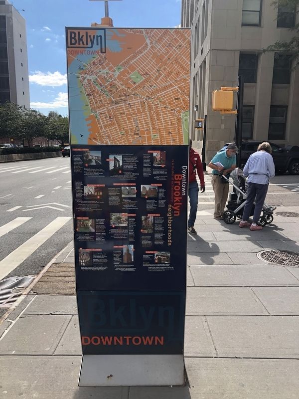
Downtown Brooklyn
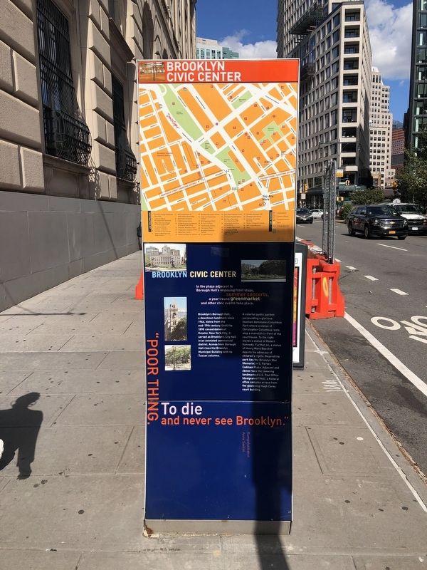
In the plaza adjacent to Borough Hall's imposing front steps, summer concerts, a year-round greenmarket and other civic events take place.
Brooklyn's Borough Hall, a downtown landmark since 1966, dates from the mid-19th century. Until the 1898 consolidation of Greater New York City, it served as Brooklyn's City Hall in an animated commercial district. Across from Borough Hall rises the Brooklyn Municipal Building with its Tuscan columns.
A colorful public garden surrounding a glorious fountain dominates Columbus Park where a statue of Christopher Columbus rests atop a monolith in front of the courthouse. To the right stands a statue of Robert Kennedy. Further on, a statue of Henry Ward Beecher depicts his advocacy of children's rights. Beyond the park lies the Brooklyn War Memorial in S. Parkes Cadman Plaza. Adjacent and above rises the towering landmarked U.S. Post Office (designated 1966), a Federal office complex across from the glistening Hugh Carey court building.
"Poor thing. To die and never see Brooklyn."
Rumplestiltskin
Anne Sexton
Erected by Downtown Brooklyn. (Marker Number 5.)
Topics.
this page online
Location. 40° 41.431′ N, 73° 59.39′ W. Marker is in Brooklyn, New York, in Kings County. It is in Boerum Hill. It is at the intersection of Schermerhorn Street and Beorum Place, on the right when traveling west on Schermerhorn Street. Touch for map. Marker is at or near this postal address: 99 Schermerhorn St, Brooklyn NY 11201, United States of America. Touch for directions.

Regionally, this marker is in New York City and on Long Island. It is also in the American Northeast, in the Mid-Atlantic, and on the Eastern Seaboard. Globally, it is in the North Atlantic Region, North America, the Western Hemisphere, the Western World, and the Anglosphere. Historically, it finds itself in what was once New Netherland and also one of the original Thirteen Colonies.
Other nearby markers. At least 8 other markers are within walking distance of this marker: Did You Know? (within shouting distance of this marker); a different marker also
Credits. This page was last revised on March 7, 2024. It was originally submitted on October 4, 2021, by Devry Becker Jones of Washington, District of Columbia. This page has been viewed 1,531 times since then and 65 times this year. Photos: 1, 2. submitted on October 4, 2021, by Devry Becker Jones of Washington, District of Columbia.
