
Old Saybrook Center in Lower Connecticut River Valley Region, Connecticut — The American Northeast (New England)
Say Brooke Fort
Photographed by Michael Herrick, September 2, 2021
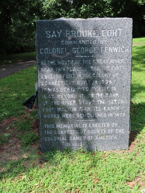
1. Say Brooke Fort Marker
Commanded by
Colonel George Fenwick
At the mouth of the Great River
Near this place stood the First
English Fort in the Colony of
Connecticut built in 1635
It was destroyed by fire in
1647. Beyond it on the bank
of the river stood the Second
Fort, built in 1648. Its earth-
works were demolished in 1870.
This memorial is erected by
The Connecticut Society of the
Colonial Dames of America
In 1913
Topics. This historical marker is listed in these topic lists: Colonial Era • Forts and Castles • Settlements & Settlers. A significant historical year for this entry is 1635.
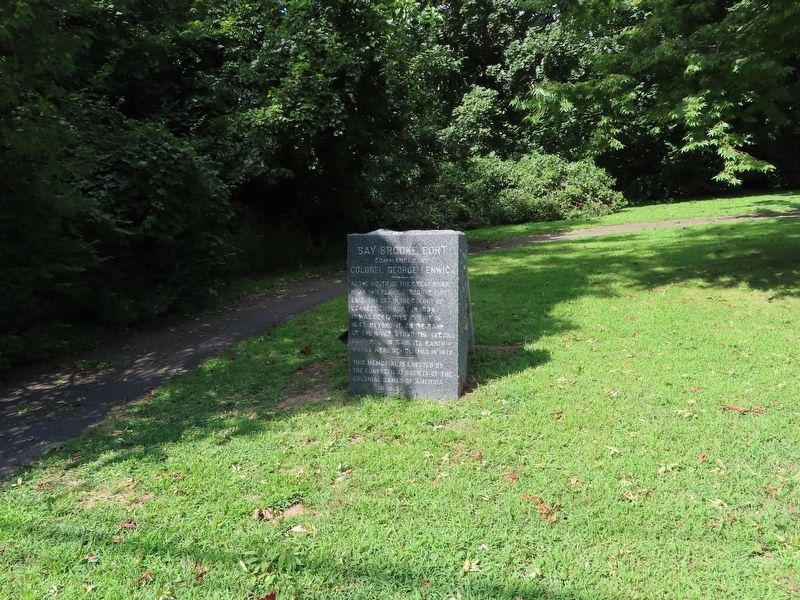
Location. 41° 17.051′ N, 72° 21.181′ W. Marker is in Old Saybrook in Lower Connecticut River Valley Region, Connecticut. It is in Old Saybrook Center. It is on College Street (Connecticut Route 154) east of Fenwick Street, on the left when traveling east. Located in Fort Saybrook Monument Park. Touch for map. Marker is in this post office area: Old Saybrook CT 06475, United States of America. Touch for directions.

Regionally, this marker is in the Connecticut River Valley, on the Connecticut Shoreline, and in Mystic
this page online
Other nearby markers. At least 8 other markers are within walking distance of this marker: Lion Gardiner (a few steps from this marker); Battlefields of the Pequot War (a few steps from this marker); The Fenwicks (within shouting distance of this marker); Fort Saybrook – 1635 (within shouting distance of this marker); The Pequot War (within shouting distance of this marker); Winthrop and the Warwick Patent (within shouting distance of this marker); The Connecticut River (about 300 feet away, measured in a direct line); The Saybrook Bar (about 400 feet away). Touch for a list and map of all markers in Old Saybrook.
Also see . . .
1. Colonial Dames of America. (Submitted on October 4, 2021, by Michael Herrick of Southbury, Connecticut.)
2. Colonial Dames of America (Wikipedia).
Photographed by Michael Herrick, September 2, 2021
2. Say Brooke Fort Marker
Credits. This page was last revised on May 19, 2026. It was originally submitted on October 4, 2021, by Michael Herrick of Southbury, Connecticut. This page has been viewed 224 times since then and 22 times this year. Photos: 1, 2. submitted on October 4, 2021, by Michael Herrick of Southbury, Connecticut.
