Near Falling Spring in Alleghany County, Virginia — The American South (Mid-Atlantic)
Fort Breckenridge
Photographed by J. J. Prats, September 23, 2014
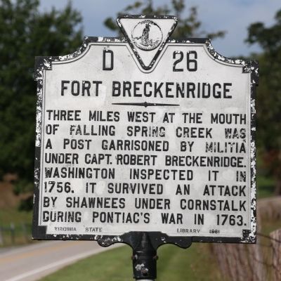
1. Fort Breckenridge Marker
Three miles west at the mouth of Falling Spring Creek was a post garrisoned by militia under Capt. Robert Breckenridge. Washington inspected it in 1756. It survived an attack by Shawnees under Cornstalk during Pontiac's war in 1763.
Erected 1961 by Virginia State Library. (Marker Number D-26.)
Topics and series. This historical marker is listed in these topic lists: Colonial Era • Forts and Castles • War, French and Indian. In addition, it is included in the Former U.S. Presidents: #01 George Washington, the George Washington Slept Here, and the Virginia Department of Historic Resources (DHR) series lists. A significant historical year for this entry is 1756.
Location. 37° 52.686′ N, 79° 55.394′ W. Marker is near Falling Spring, Virginia, in Alleghany County. It is on U.S. 220 2.7 miles south of County Route 606, on the right when traveling north. Touch for map. Marker is in this post office area: Hot Springs VA 24445, United States of America. Touch for directions.

Regionally, this marker is in the Mountain Region, in the Alleghany Highlands, and specifically in the Potomac Highlands. It is also in the
this page online
Other nearby markers. At least 8 other markers are within 7 miles of this marker, measured as the crow flies: "Mad Ann" Bailey (approx. 1.4 miles away); Falling Spring Falls (approx. 1½ miles away); Bath County / Alleghany County (approx. 1½ miles away); The Road to the Kanawha (approx. 2.8 miles away); Low Moor Iron Company Coke Ovens (approx. 6.2 miles away); a different marker also named Oakland Presbyterian Church and Cemetery (approx. 6.3 miles away); Oakland Grove Presbyterian Church (approx. 6.3 miles away); Jackson River Depot (approx. 6.3 miles away). Touch for a list and map of all markers in Falling Spring.
Other markers no longer nearby. Oakland Presbyterian Church and Cemetery (was approx. 6.3 miles away but
Photographed by J. J. Prats, September 23, 2014
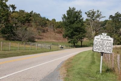
2. Fort Breckenridge Marker
Also see . . . Fort Breckenridge, aka Fort Mann. Interestingly, this is not the text currently identified for this marker by the Virginia Department of Historic Resources. The official wording, approved in 1999, is:
Fort Breckenridge, also called Fort Mann, stood three miles west at the mouth of Falling Spring Creek. It was built by 1756 during the French and Indian War (1754-1763) as one in a series of fortifications to protect Virginia's frontier. Capt. Robert Breckenridge and his militia garrisoned the fort, which was inspected by Col. George Washington on his frontier tour in 1756. In 1763, during Pontiac's War (1763-1764), the Shawnee chief Cornstalk led a force against the fort but was defeated in a hard fought engagement. (Submitted on November 25, 2014, by Kevin W. of Stafford, Virginia.)
Photographed by Dawn Bowen, July 22, 2007
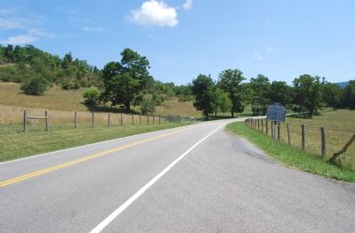
3. Marker along US 220
Credits. This page was last revised on March 9, 2022. It was originally submitted on July 22, 2007, by Dawn Bowen of Fredericksburg, Virginia. This page has been viewed 5,396 times since then and 199 times this year. Photos: 1, 2. submitted on September 26, 2014, by J. J. Prats of Powell, Ohio. 3. submitted on July 22, 2007, by Dawn Bowen of Fredericksburg, Virginia. • J. J. Prats was the editor who published this page.
Editor’s want-list for this marker. Photo of the mouth of Falling Spring Creek • Can you help?
