Keller in Tarrant County, Texas — The American South (West South Central)
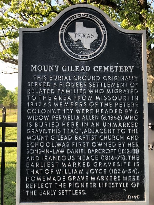
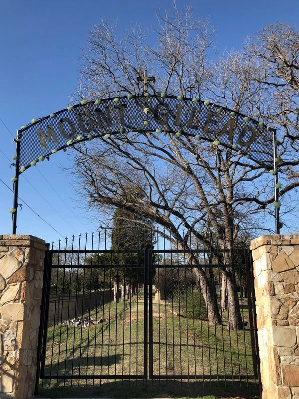
Mount Gilead Cemetery
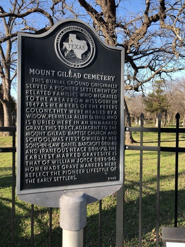
This burial ground originally served a pioneer settlement of related families who migrated to the area from Missouri in 1847 as members of the Peters Colony. They were headed by a widow, Permelia Allen (d. 1866), who is buried here in an unmarked grave. This tract, adjacent to the Mount Gilead Baptist Church and School, was first owned by her sons-in-law Daniel Barcroft (1812-81) and Iraneous Neace (1816-79). The earliest marked gravesite is that of William Joyce (1836-54). Homemade grave markers here reflect the pioneer lifestyle of the early settlers.
Erected 1981 by Texas Historical Commission. (Marker Number 3492.)
Topics. This historical marker is listed in these topic lists: Cemeteries & Burial Sites • Settlements & Settlers. A significant historical year for this entry is 1847.
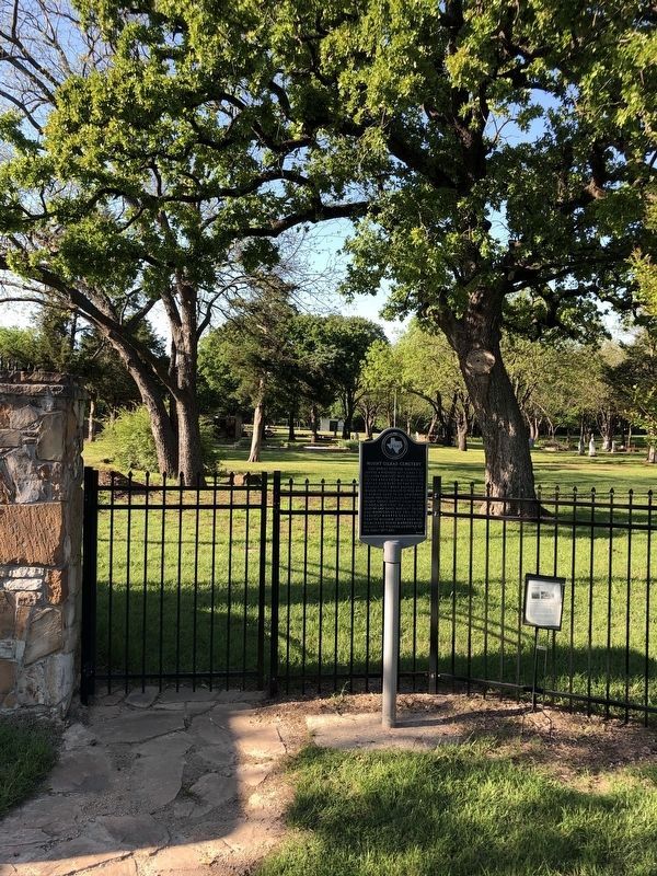
Location. 32° 56.944′ N, 97° 13.269′ W. Marker is in Keller, Texas, in Tarrant County. Marker is on Bancroft Road west of Ottinger Road, on the right when traveling west. The marker is on the north side of Bancroft Road across the street from the Mount Gilead Church. Touch for map. Marker is at or near this postal address: 1351 Bancroft Road, Keller TX 76248, United States of America. Touch for directions.
Other nearby markers. At least 8 other markers are within 3 miles of this marker, measured as the crow flies. Mount Gilead Baptist Church (within shouting distance of this marker); Pioneer Stone Burial Cairns (within shouting distance of this marker); Keller Methodist Church (approx. 0.7 miles away); Bourland Cemetery (approx. 1.3 miles away); First Baptist Church of Keller (approx. 1.9 miles away); Jellico (approx. 2.2 miles away); Keller (approx. 2.2 miles away); Westlake and the Circle T Ranch (approx. 2˝ miles away). Touch for a list and map of all markers in Keller.
Also see . . . Mount Gilead Cemetery.
In 1982, both the cemetery and the 1882 building were designated as historical sites and marked with plaques to attest to this designation.(Submitted on October 7, 2021, by J Frye of Fort Worth, Texas.)
Credits. This page was last revised on May 25, 2023. It was originally submitted on October 7, 2021, by J Frye of Fort Worth, Texas. This page has been viewed 224 times since then and 30 times this year. Photos: 1. submitted on October 7, 2021, by J Frye of Fort Worth, Texas. 2. submitted on May 25, 2023, by J Frye of Fort Worth, Texas. 3. submitted on October 7, 2021, by J Frye of Fort Worth, Texas. 4. submitted on May 25, 2023, by J Frye of Fort Worth, Texas. • J. Makali Bruton was the editor who published this page.


