St. Joseph Historic Neighborhood in Indianapolis in Marion County, Indiana — The American Midwest (Great Lakes)
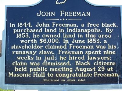
John Freeman
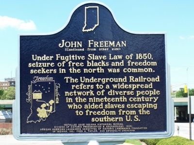
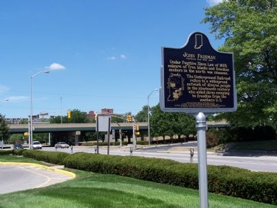
Under Fugitive Slave Law of 1850, seizure of free blacks and freedom seekers in the north was common.
The Underground Railroad refers to a widespread network of diverse people in the nineteenth century who aided slaves escaping to freedom from the southern U.S.
Erected 2006 by Indiana Historical Bureau, Division of Historic Preservation & Archaeology, IDNR; African American Landmarks Committee of Historic Landmarks Foundation of Indiana, Inc.; Fred A. Taylor, and Gwen Crenshaw. (Marker Number 49.2006.2.)
Topics and series. This historical marker is listed in these topic lists: Abolition & Underground RR • African Americans. In addition, it is included in the Indiana Historical Bureau Markers series list. A significant historical month for this entry is June 1853.
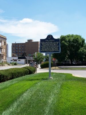
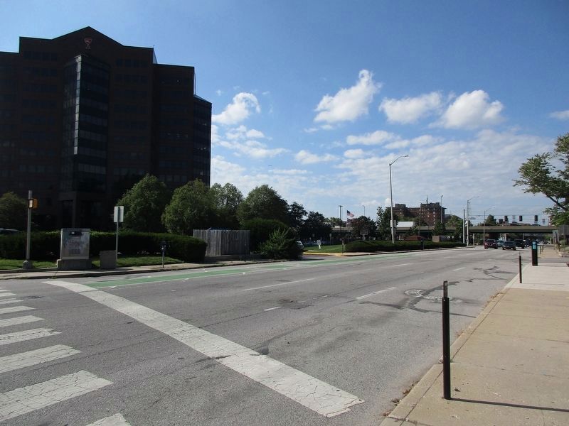
Location. 39° 46.902′ N, 86° 9.343′ W. Marker is in Indianapolis, Indiana, in Marion County. It is in the St. Joseph Historic Neighborhood. Marker is on Pennsylvania Street. On the west side of Pennsylvania Street between 10th and 11th streets, in greenspace next to the Landmark Center, located at 1099 N. Meridian Street, Indianapolis. Touch for map. Marker is in this post office area: Indianapolis IN 46204, United States of America. Touch for directions.
Other nearby markers. At least 8 other markers are within walking distance of this marker. The University Club (about 600 feet away, measured in a direct line); Welcome to the Home of an American President (about 700 feet away); The Old Northside (about 700 feet away); America's Hoosier President (about 700 feet away); The Historic Old Northside (about 700 feet away); Washington Elm (approx. 0.2 miles away); First Lady Caroline Harrison (approx. 0.2 miles away); The Home of Caroline Scott Harrison (approx. 0.2 miles away). Touch for a list and map of all markers in Indianapolis.
Credits. This page was last revised on August 26, 2023. It was originally submitted on July 22, 2007, by M. Bowyer of Indianapolis, Indiana. This page has been viewed 2,716 times since then and 29 times this year. Photos: 1, 2, 3, 4. submitted on July 22, 2007, by M. Bowyer of Indianapolis, Indiana. 5. submitted on August 20, 2023, by Jeff Leichsenring of Garland, Texas. • J. J. Prats was the editor who published this page.
