Pensacola in Escambia County, Florida — The American South (South Atlantic)
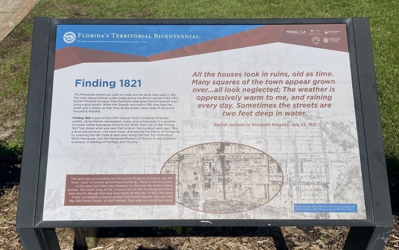
Finding 1821
— Florida's Territorial Bicentennial —
Finding 1821 is part of the UWF Historic Trust's Suddenly American exhibit. Using historic newspapers, maps, and archaeology, it is possible to locate where businesses stood in the 1820s. Each site on the Finding 1821 Trail shows what was near that location two hundred years ago. Take a stroll around town, visit local shops, and explore the history of Pensacola by scanning the QR Code at each stop along the Trail. For more about 1820s Pensacola, visit the Pensacola Museum of History to see Suddenly American: A Meeting of Heritage and Country.
All the houses look in ruins, old as time. Many squares of the town appear grown over...all look neglected; The weather is oppressively warm to me, and raining every day. Sometimes the streets are two feet deep in water.
Rachel Jackson to Elizabeth Kingsley, July 23, 1821
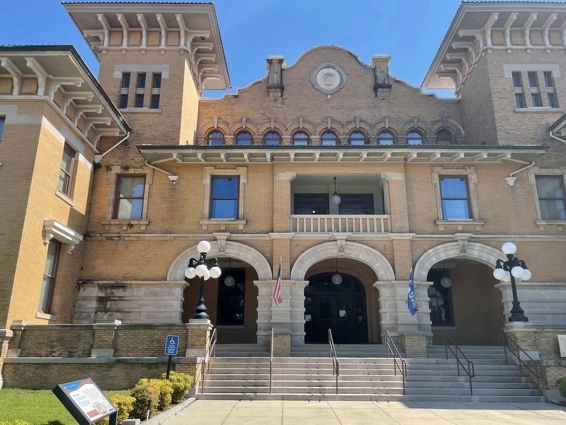
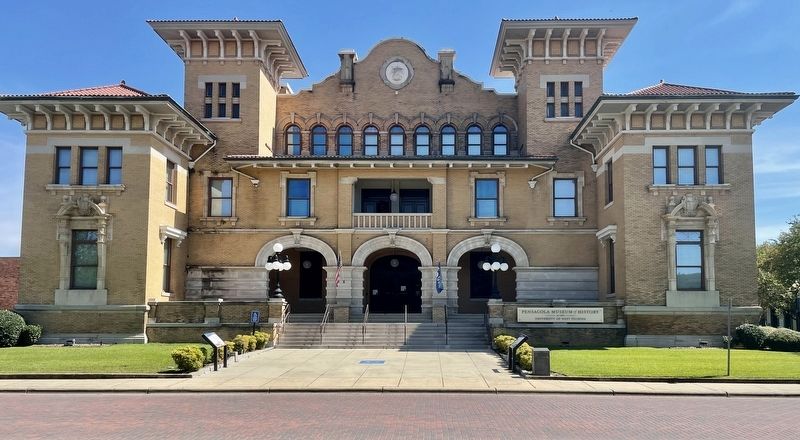
The land now occupied by the Pensacola Museum of History was the front "yard" of several government buildings. Many of the structures in this area had fallen into disrepair by the time the United States arrived. The north wing of the museum sits on the lot designated for a new church, though one was never built on this site. In 1832, the town finally completed a church across from Seville Square. You can visit the Old Christ Church, a UWF Historic Trust site, on one of our tours.
This marker is a product of Florida's territorial bicentennial celebration on July 17, 2021
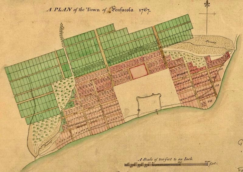
Background amage: Map of Pensacola, likely drawn by town physician John Brosnaham in 1819. (Image courtesy of UWF Historic Trust)
Erected 2021 by City of Pensacola, Escambia County, UWF Archaeology Institute, Florida Public Archaeology Network, University of West Florida Public Trust.
Topics. This historical marker is listed in these topic lists: Roads & Vehicles • Settlements & Settlers. A significant historical date for this entry is July 23, 1821.
Location. 30° 24.522′ N, 87° 12.801′ W. Marker is in Pensacola, Florida, in Escambia County. Marker is on South Jefferson Street north of Zaragoza Street, on the right when traveling north. Located in front of the Pensacola Museum of History. Touch for map. Marker is at or near this postal address: 330 S Jefferson St, Pensacola FL 32502, United States of America. Touch for directions.
Other nearby markers. At least 8 other
markers are within walking distance of this marker. A Spanish Town (a few steps from this marker); Votes for Women (a few steps from this marker); Trenches & Trous-de-Loup (a few steps from this marker); Officer's Room and Kitchen (a few steps from this marker); Old Escambia County Court of Record Building (1912-1978)/Pensacola Little Theater-Pensacola Cultural (within shouting distance of this marker); Stop and Smell the Roses (within shouting distance of this marker); Transfer of Spanish Florida to the United States (within shouting distance of this marker); Gen. Andrew Jackson (within shouting distance of this marker). Touch for a list and map of all markers in Pensacola.
Credits. This page was last revised on October 10, 2021. It was originally submitted on October 10, 2021, by Mark Hilton of Montgomery, Alabama. This page has been viewed 225 times since then and 25 times this year. Photos: 1, 2, 3, 4. submitted on October 10, 2021, by Mark Hilton of Montgomery, Alabama.


