Pensacola in Escambia County, Florida — The American South (South Atlantic)
First Spanish Period
— Colonial Archaeological Trail —
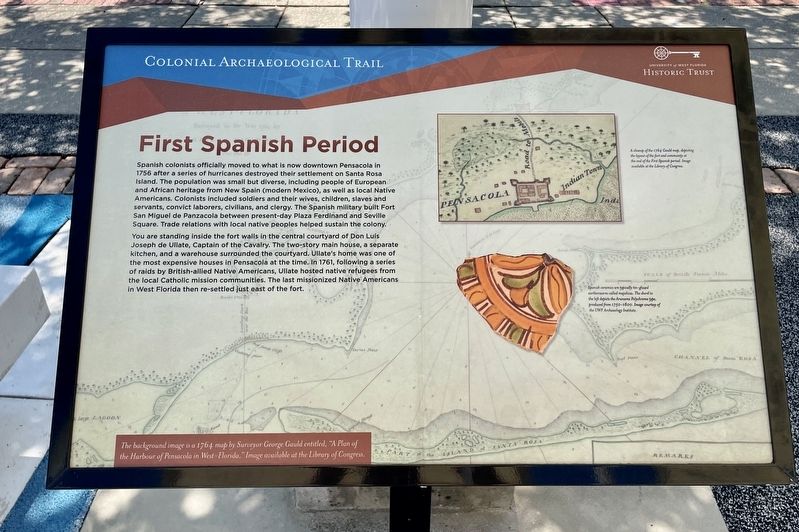
You are standing inside the fort walls in the central courtyard of Don Luís Joseph de Ullate, Captain of the Cavalry. The two-story main house, a separate kitchen, and a warehouse surrounded the courtyard. Ullate's home was one of the most expensive houses in Pensacola at the time. In 1761, following a series of raids by British-allied Native Americans, Ullate hosted native refugees from the local Catholic mission communities. The last missionized Native Americans in West Florida then re-settled just east of the fort.
A closeup of the 1764 Gauld map, depicting the layout of the fort and community at the end of the First Spanish period. Image available at the Library of Congress.
Spanish ceramics are typically tin-glazed earthenwares called majolicas. The sherd to the left depicts the Aranama Polychrome type, produced from 1750-1800. Image courtesy of the UWF Archaeology Institute.
The background image is a 1764 map by Surveyor George Gauld entitled, “A Plan of the Harbour of Pensacola in West-Florida." Image available at the Library of Congress.
Erected by University of West Florida Historic Trust.
Topics. This historical marker is listed in these topic lists: Colonial Era • Forts and Castles • Settlements & Settlers. A significant historical year for this entry is 1756.
Location. 30° 24.517′ N, 87° 12.757′ W. Marker is in Pensacola, Florida, in Escambia County. Marker is on Zaragoza Street east of South Jefferson Street, on the right when traveling west. Located in the Museum Plaza behind the Pensacola Museum of History. Touch for map. Marker is at or near this postal address: 330 S Jefferson St, Pensacola FL 32502, United States of America. Touch for directions.
Other nearby markers. At least 8 other markers are within walking distance of this marker. Second Spanish Period (here, next to this marker); Colonial Cooking (here, next to this marker); Wells and Cellars (here, next to this marker); American Period (here, next to this marker); Archaeology in Pensacola (a few steps from this marker); Commanding Officer's Compound (a few steps from this marker); British Period (a few steps from this marker); Stop and Smell the Roses (a few steps from this marker). Touch for a list and map of all markers in Pensacola.
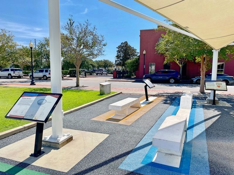
More about this marker. The Colonial Archaeological Trail is a collection of outdoor exhibits relating the Spanish, British, and American occupations of Pensacola. This interpretive trail highlights the rich deposits of colonial history and archaeology in the heart of downtown Pensacola.
Credits. This page was last revised on October 10, 2021. It was originally submitted on October 10, 2021, by Mark Hilton of Montgomery, Alabama. This page has been viewed 134 times since then and 16 times this year. Photos: 1, 2. submitted on October 10, 2021, by Mark Hilton of Montgomery, Alabama.

