Vega in Oldham County, Texas — The American South (West South Central)
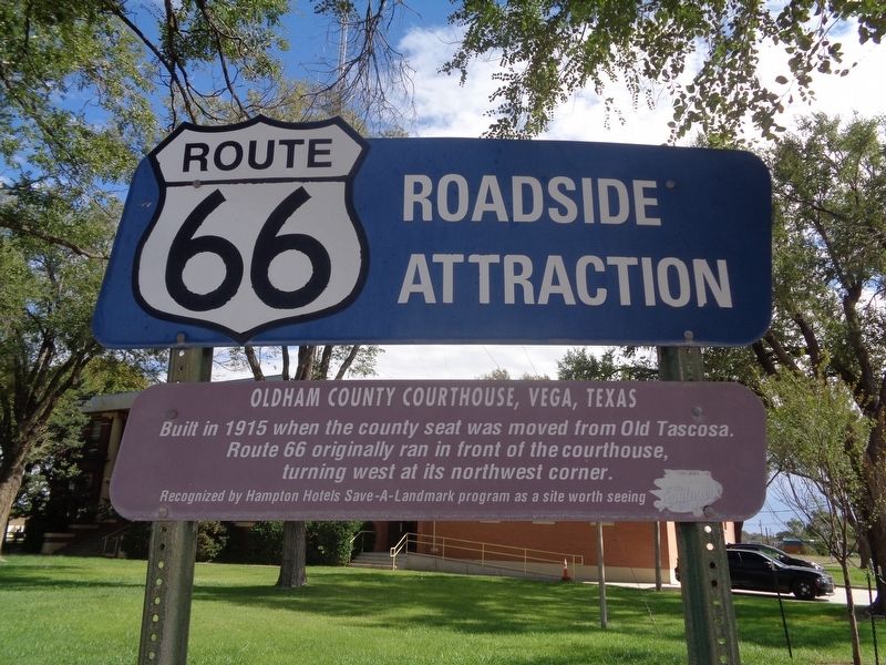
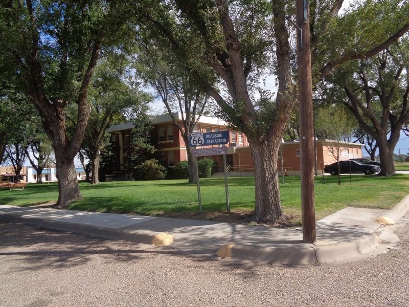
Oldham County Courthouse, Vega, Texas
Route 66 Roadside Attraction
Photographed by Jason Voigt, October 10, 2021
1. Oldham County Courthouse, Vega, Texas Marker
Built in 1915 when the county seat was moved from Old Tascosa. Route 66 originally ran in front of the courthouse, turning west at its northwest corner.
Recognized by Hampton Hotels Save-A-Landmark program as a site worth seeing
Erected 2003 by Hampton Hotels Save-A-Landmark program.
Topics and series. This historical marker is listed in this topic list: Roads & Vehicles. In addition, it is included in the Route 66 Roadside Attractions, and the U.S. Route 66 series lists. A significant historical year for this entry is 1915.
Location. 35° 14.783′ N, 102° 25.687′ W. Marker is in Vega, Texas, in Oldham County. It is at the intersection of South Main Street (U.S. 385) and Coke Street, on the right when traveling north on South Main Street. Marker is at the southwest corner of the courthouse grounds. Touch for map. Marker is at or near this postal address: 105 S Main St, Vega TX 79092, United States of America. Touch for directions.

Regionally, this marker is on the Texas Panhandle. It is also on the American Great Plains and specifically on the Southern Plains. Globally, it is in North America, a Gulf of Mexico
this page online
Other nearby markers. At least 8 other markers are within 4 miles of this marker, measured as the crow flies: Quanah Parker Trail (within shouting distance of this marker); Site of Old Tascosa (within shouting distance of this marker); Senator W. S. Oldham (within shouting distance of this marker); Doctor Oscar H. Loyd (within shouting distance of this marker); 9/11 Memorial (about 300 feet away, measured in a direct line); The Mother Road of Historic Route 66 (approx. 0.2 miles away); Dot's Mini Museum, Vega, Texas (approx. 0.2 miles away); Fort Smith-Santa Fe Trail (approx. 3½ miles away). Touch for a list and map of all markers in Vega.
Photographed by Jason Voigt, October 10, 2021
2. Oldham County Courthouse, Vega, Texas Marker
Credits. This page was last revised on January 23, 2026. It was originally submitted on October 10, 2021, by Jason Voigt of Glen Carbon, Illinois. This page has been viewed 530 times since then and 63 times this year. Photos: 1, 2. submitted on October 10, 2021, by Jason Voigt of Glen Carbon, Illinois.
