Grand Forks in Grand Forks County, North Dakota — The American Midwest (Upper Plains)
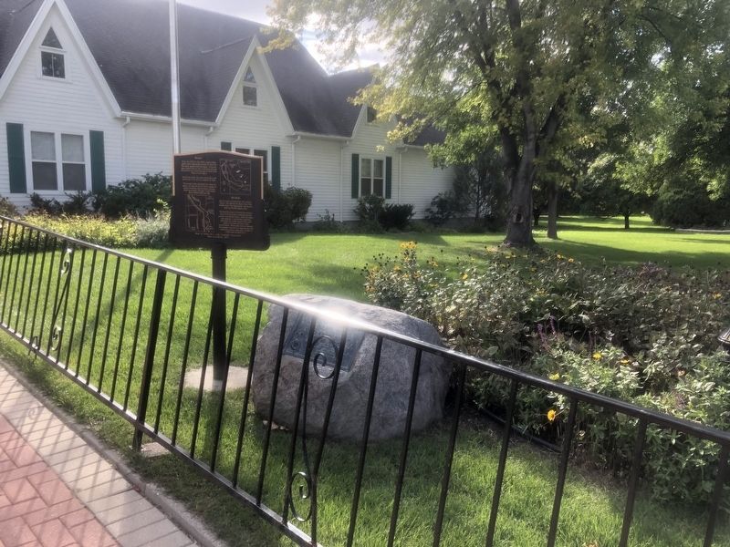
The Old Red River Ox-Cart Trail

Photographed by Ruth VanSteenwyk, September 24, 2021
1. The Old Red River Ox-Cart Trail Marker
The Old Red River Ox-Cart Trail
Used from about
1810 to 1880
Erected 1924 by Red River Valley Chapter Daughters Of the American Revolution.
Topics and series. This historical marker is listed in these topic lists: Roads & Vehicles • Settlements & Settlers. In addition, it is included in the Daughters of the American Revolution (DAR) series list. A significant historical year for this entry is 1810.
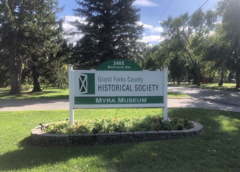
Location. 47° 53.786′ N, 97° 1.68′ W. Marker is in Grand Forks, North Dakota, in Grand Forks County. It is on Belmont Road. Located at the Myra Museum. Touch for map. Marker is at or near this postal address: 2405 Belmont Rd, Grand Forks ND 58203, United States of America. Touch for directions.

Regionally, this marker is in the Red River Valley. It is also in the American Lewis & Clark Corridor, on the prairies, and on the Northern Plains. Globally, it is in North America, the Western Hemisphere, the Western World, and the Anglosphere. Historically, it finds itself in what was once Rupert’s Land and also the Louisiana Purchase.
Other nearby markers. At least 8 other markers are within
this page online
Also see . . .
1. Myra Museum. (Submitted on October 11, 2021, by Ruth VanSteenwyk of Aberdeen, South Dakota.)
2. Red River Ox-Cart Trails - Our Early Highways. (Submitted on October 11, 2021.)
Photographed by Ruth VanSteenwyk, September 24, 2021
2. The Old Red River Ox-Cart Trail Marker
Photographed by Ruth VanSteenwyk, September 24, 2021
3. Myra Museum Sign
Credits. This page was last revised on October 11, 2021. It was originally submitted on October 11, 2021, by Ruth VanSteenwyk of Aberdeen, South Dakota. This page has been viewed 748 times since then and 105 times this year. Photos: 1, 2, 3. submitted on October 11, 2021, by Ruth VanSteenwyk of Aberdeen, South Dakota. • Mark Hilton was the editor who published this page.
