Harlan in Allen County, Indiana — The American Midwest (Great Lakes)
Harlan, Indiana
Platted 1853
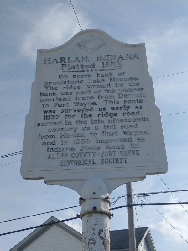
Photographed by Craig Doda, October 11, 2021
1. Harlan, Indiana Marker
Erected by Allen County-Fort Wayne Historical Society.
Topics. This historical marker is listed in these topic lists: Notable Places • Roads & Vehicles • Settlements & Settlers. A significant historical year for this entry is 1837.
Location. 41° 11.76′ N, 84° 55.176′ W. Marker is in Harlan, Indiana, in Allen County. It is at the intersection of Indiana Route 37 and Antwerp Road, on the right when traveling east on Indiana Route 37. Touch for map. Marker is at or near this postal address: 17431 IN-37, Harlan IN 46743, United States of America. Touch for directions.

Regionally, this marker is in Northern Indiana and in Greater Fort Wayne. It is also in the American Midwest and in the Corn Belt. Globally, it is in North America, the Western Hemisphere, the Western World, and the
this page online
Other nearby markers. At least 8 other markers are within 6 miles of this marker, measured as the crow flies: Harlan Park Veterans Memorial (approx. 0.2 miles away); Old Maysville Cemetery (approx. 0.4 miles away); Grabill, Indiana (approx. 2.7 miles away); Patriot Burials (approx. 5.1 miles away); 75 mm Field Gun M1897 on M2 Carriage (approx. 5.2 miles away); Veterans Memorial (approx. 5.4 miles away); Arthur Franklin Mapes (approx. 5.9 miles away); History of the Saw and Grist Mills (approx. 5.9 miles away). Touch for a list and map of all markers in Harlan.
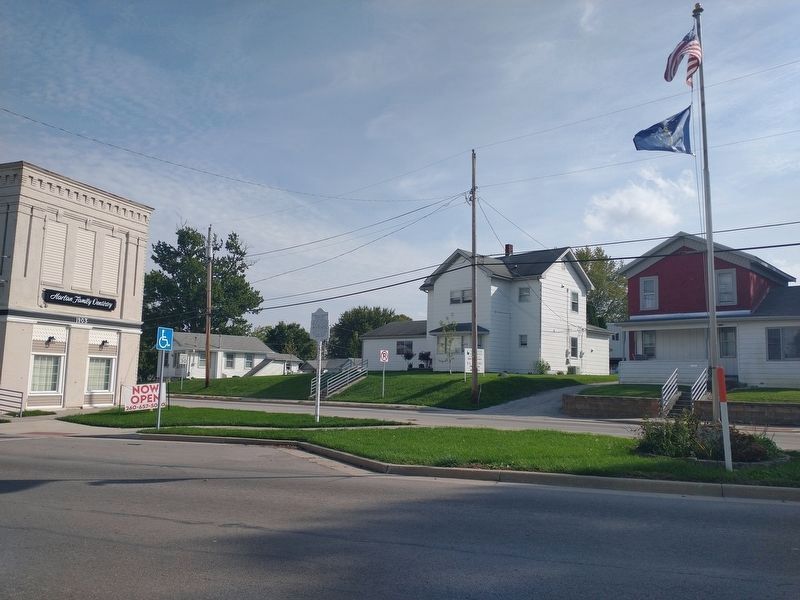
Photographed by Craig Doda, October 11, 2021
2. Harlan, Indiana Marker
Credits. This page was last revised on October 15, 2021. It was originally submitted on October 12, 2021, by Craig Doda of Napoleon, Ohio. This page has been viewed 993 times since then and 126 times this year. Photos: 1, 2. submitted on October 12, 2021, by Craig Doda of Napoleon, Ohio. • Devry Becker Jones was the editor who published this page.
