
Peoria in Peoria County, Illinois — The American Midwest (Great Lakes)
Peoria Settlement Site
Photographed by Duane and Tracy Marsteller, October 10, 2021
1. Peoria Settlement Site Marker
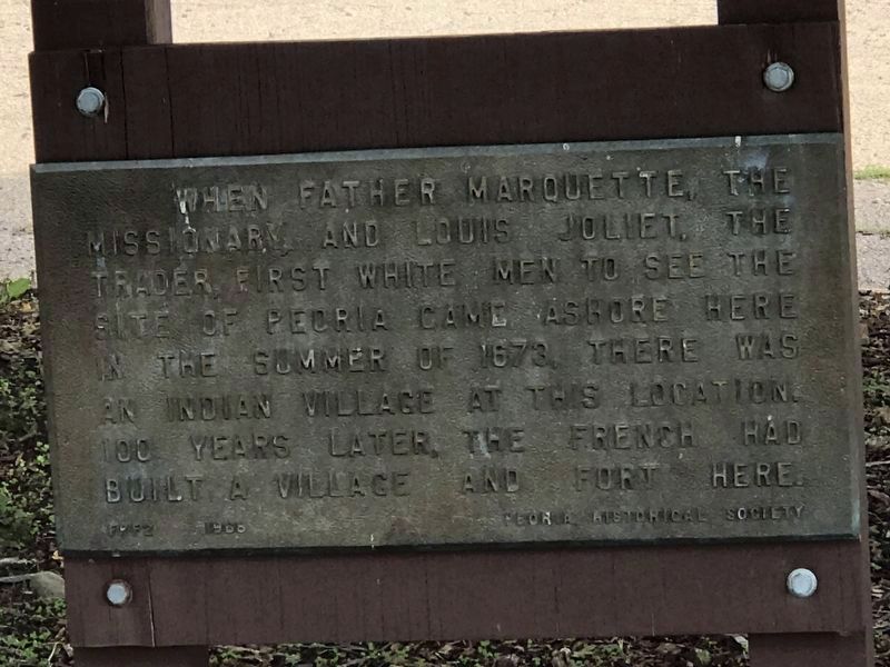
When Father Marquette, the missionary, and Louis Joliet, the trader, first white men to see the site of Peoria, came ashore here in the summer of 1673, there was an Indian village at this location. 100 years later, the French had built a village and fort here.
Erected 1968 by Peoria Historical Society.
Topics. This historical marker is listed in these topic lists: Exploration • Indigenous Peoples and Communities. A significant historical year for this entry is 1673.
Location. 40° 42.078′ N, 89° 34.272′ W. Marker is in Peoria, Illinois, in Peoria County. It is on Caroline Street south of NE Adams Street, on the left when traveling south. Marker is in Detweiller Marina. Touch for map. Marker is at or near this postal address: 2 Caroline Street, Peoria IL 61603, United States of America. Touch for directions.

Regionally, this marker is in the Illinois River Valley. It is also in the American Midwest and in the Corn Belt. Globally, it is in North America, the Western Hemisphere, the Western World, and the Anglosphere. Historically, it finds itself in what was once the Viceroyalty of New France, the territory
this page online
Other nearby markers. At least 8 other markers are within 2 miles of this marker, measured as the crow flies: Camp Peoria (about 700 feet away, measured in a direct line); Memorial Trees (approx. half a mile away); Father Marquette and Louis Jolliet (approx. ¾ mile away); 1776 Cannon (approx. 0.8 miles away); Military Services Memorial Plaza (approx. one mile away); Camp Lyon (approx. one mile away); Waterborn Services Memorial (approx. 1.1 miles away); Peoria County World Wars I & II Veterans Memorial (approx. 1.1 miles away). Touch for a list and map of all markers in Peoria.
Photographed by Duane and Tracy Marsteller, October 10, 2021
2. Peoria Settlement Site Marker
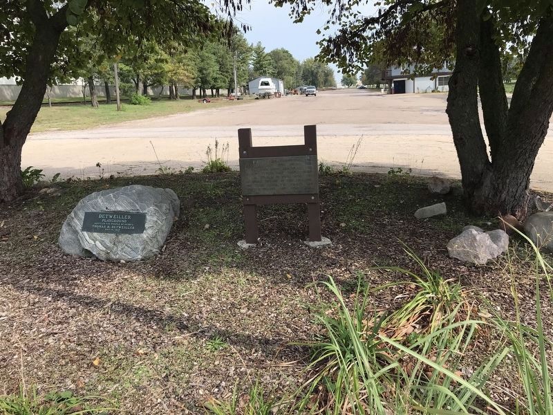
The plaque on the boulder is a park dedication.
Credits. This page was last revised on October 13, 2021. It was originally submitted on October 12, 2021, by Duane and Tracy Marsteller of Murfreesboro, Tennessee. This page has been viewed 749 times since then and 70 times this year. Photos: 1, 2. submitted on October 12, 2021, by Duane and Tracy Marsteller of Murfreesboro, Tennessee.
