Near Eastport in Washington County, Maine — The American Northeast (New England)
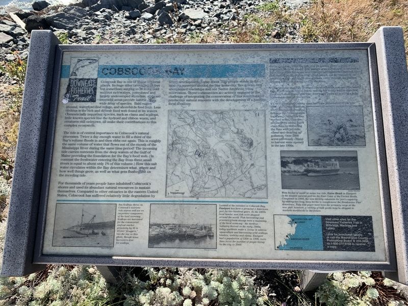
Cobscook Bay
Downeast Fisheries Trail
Cobscook Bay is one of Maine’s special places. Its huge tides (averaging 28 feet but sometimes surging to 30 feet) its cold nutrient rich waters, convoluted and largely undeveloped shoreline, vast intertidal areas provide habitat for a wide array of species. Bald eagles abound, waterfowl find refuge, and shorebirds feed here. Less obvious is the rich and diverse food web found in its waters. Commercially important species, such as clams and scallops, little known species like the hydroid and ribbon worms, and creatures still unknown, all make their contributions to this complex ecosystem.
The tide is of central importance to Cobscook's natural processes. Twice a day enough water to fill a third of the Bay's volume floods in and then ebbs out again. This is roughly the same volume of water that flows out of the mouth of the Mississippi River during the same time period! The incoming tide carries nutrients from the deep waters of the Gulf of Maine providing the foundation for the Bay's food web. (In contrast the freshwater entering the Bay from three small rivers is equal to about only 1% of this volume.) How this salt water circulates within the Bay determines what, where and how well things grow, as well as what gets flushed out on the receding tide.
For thousands of years people have inhabited Cobscook's shores and used its abundant natural resources to sustain themselves. Compared to other estuaries in the eastern United States, Cobscook has suffered relatively little degradation by fishery development. Today about 7000 people reside the nine communities around the Bay: one city, five towns, two unorganized townships and one Native American tribe reservation. These communities are actively engaged in the challenge of integrating the conservation of this remarkably productive natural resource with the development of a healthy local economy.
[Text obscured]
When Washington County clam harvests plummeted by 1984, local residents became concerned. People living in communities bordering Cobscook Bay worked to increase the productivity of the Bay’s clam flats by reseeding the flats with juvenile clams and cleaning up pollution. Over 2000 acres previously closed to harvest were opened in the late 1990s.
Visit other sites on the Downeast Fisheries Trail in Milbridge, Machias and Lubec. Look tor brochures locally, or call the Washington County Promotions Board @ 255-3656 or 1-800-377-9748 to receive a copy
Topics. This historical marker is listed in these topic lists: Environment • Industry & Commerce. A significant historical year for this entry is 2000.
Location. 44° 55.479′ N, 67° 1.001′ W. Marker is near

Photographed By Steve Stoessel
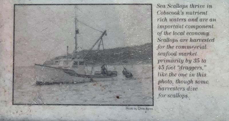
2. Scallop Dragger
Sea scallops thrive in Cobscook's nutrient rich waters and are an important component of the local economy. Scallops are harvested for the commercial seafood market primarily by 35 to 45 foot "draggers," like the one in this photo, though some harvesters dive for scallops.
Other nearby markers. At least 8 other markers are within 6 kilometers of this marker, measured as the crow flies. Camp Lee - Stephenson (approx. half a mile away); Eastport Civil War Memorial (approx. 1.9 miles away); S.L. Wadsworth & Son (approx. 2.1 miles away); Sardine Industry (approx. 2.1 miles away); Eastport Fisherman Statue (approx. 2.1 miles away); Cultural History (approx. 2.1 miles away); The Roosevelts and Eastport (approx. 2.2 miles away); World War II Memorial (approx. 3.9 miles away in Canada). Touch for a list and map of all markers in Eastport.
Also see . . . Downeast Fisheries Trail. Website homepage (Submitted on October 17, 2021, by Michael Herrick of Southbury, Connecticut.)

Photographed By Steve Stoessel
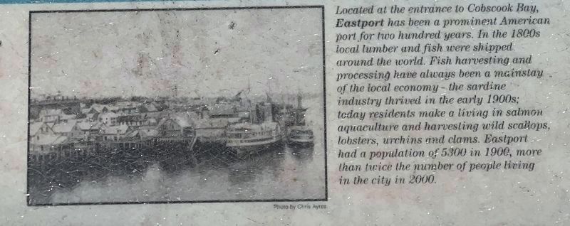
3. Eastport Harbor
Located at the entrance to Cobscook Bay, Eastport has been a prominent American port for two hundred years. In the 1800s local lumber and fish were shipped around the world. Fish harvesting and processing have always been a mainstay of the local economy - the sardine industry thrived in the early 1900s - today residents make a living in salmon aquaculture and harvesting wild scallops. lobsters, urchins and clams. Eastport had a population of 5300 in 1906, more than twice the number of people living in the city in 2000.

Photographed By Steve Stoessel
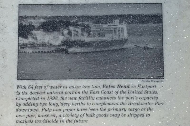
4. Estes Head
With 64 feet of water at mean low tide, Estes Head in Eastport is the deepest natural port on the East Coast of the United States. Completed in 1998, the new facility enhances the port's capacity by adding two long, deep berths to complement the Breakwater Pier downtown. Pulp and paper have been the primary cargo at the new pier; however, a variety of bulk goods may be shipped to markets worldwide in the future.
Credits. This page was last revised on May 23, 2022. It was originally submitted on October 13, 2021, by Steve Stoessel of Niskayuna, New York. This page has been viewed 152 times since then and 5 times this year. Photos: 1, 2, 3, 4. submitted on October 13, 2021, by Steve Stoessel of Niskayuna, New York. • Michael Herrick was the editor who published this page.
