Port Washington in Ozaukee County, Wisconsin — The American Midwest (Great Lakes)
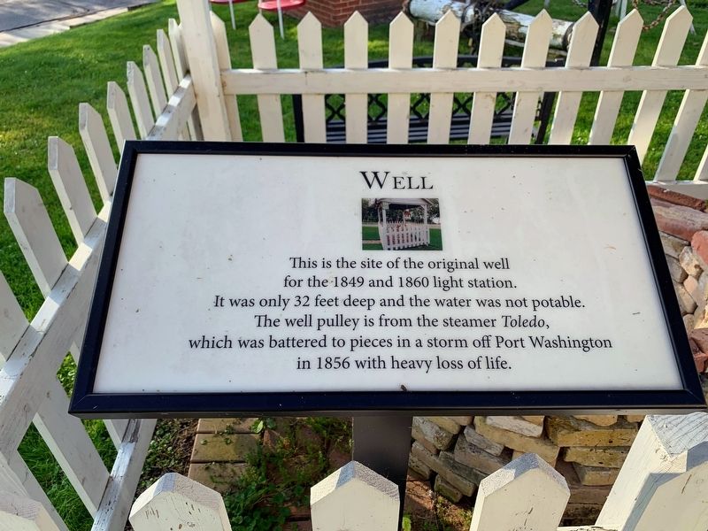
Well
Photographed by Devon Polzar, 2020
1. Well Marker
Erected by Port Washington Historical Marker.
Topics. This historical marker is listed in this topic list: Waterways & Vessels.
Location. 43° 23.463′ N, 87° 52.051′ W. Marker is in Port Washington, Wisconsin, in Ozaukee County. It can be reached from the intersection of East Van Buren Street and Johnson Street, on the right when traveling south. Located on the grounds of the 1860 Light Station and a Port Washington Historical Society museum. Touch for map. Marker is at or near this postal address: 311 Jonhnson St, Port Washington WI 53074, United States of America. Touch for directions.

Regionally, this marker is in Southeast Wisconsin and in Greater Milwaukee. It is also in the American Midwest and in the Corn Belt. Globally, it is in North America, on the Great Lakes, in the Western Hemisphere,
this page online
Other nearby markers. At least 8 other markers are within walking distance of this marker: Oil House (here, next to this marker); The Northerner Anchor (a few steps from this marker); Port Washington Light Station (a few steps from this marker); The Lights of Port Washington (a few steps from this marker); Cistern (within shouting distance of this marker); Lifeboat from the S.S. Milwaukee (within shouting distance of this marker); Lakeside Brewery Site (about 300 feet away, measured in a direct line); Woodland Habitat (about 300 feet away). Touch for a list and map of all markers in Port Washington.
Another marker is no longer nearby. Northerner (was a few steps from this marker but has been permanently removed).
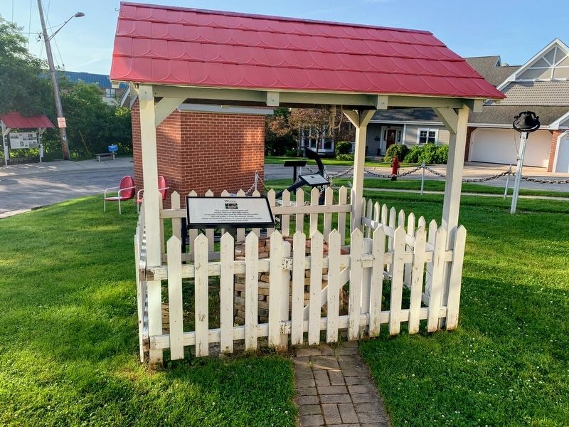
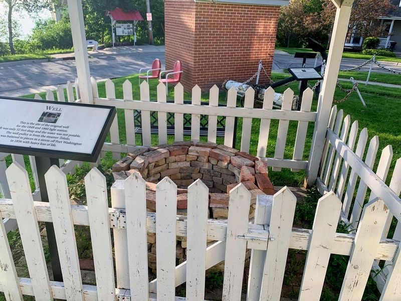
More about this marker. The marker is next to the well which is on the east side of the light station.
Photographed by Devon Polzar, 2020
2. Well Marker
Photographed by Devon Polzar, 2020
3. Light Station Well
Credits. This page was last revised on October 15, 2021. It was originally submitted on October 13, 2021, by Devon Polzar of Port Washington, Wisconsin. This page has been viewed 389 times since then and 18 times this year. Photos: 1, 2, 3. submitted on October 13, 2021, by Devon Polzar of Port Washington, Wisconsin. • Mark Hilton was the editor who published this page.
