Jonesboro in Washington County, Maine — The American Northeast (New England)
Grange
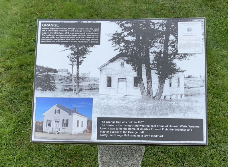
From its organization in 1900, through several decades, the social life in Jonesboro revolved around Grange meetings, public suppers and other types of Grange sponsored entertainment. The custom of serving a public dinner on Town Meeting day was started by the Grange in March 1910 and continued for many years. Grange fairs were held and the Grange exhibits were often first place winners at the two county fairs in the area.
The Grange Hall was built in 1907.
The house in the background was the last home of Hannah Watts Weston.
Later it was to be the home of Charles Edward Fish, the designer and master builder of the Grange Hall.
Today the Grange Hall remains a town landmark.
Topics. This historical marker is listed in this topic list: Agriculture. A significant historical month for this entry is March 1910.
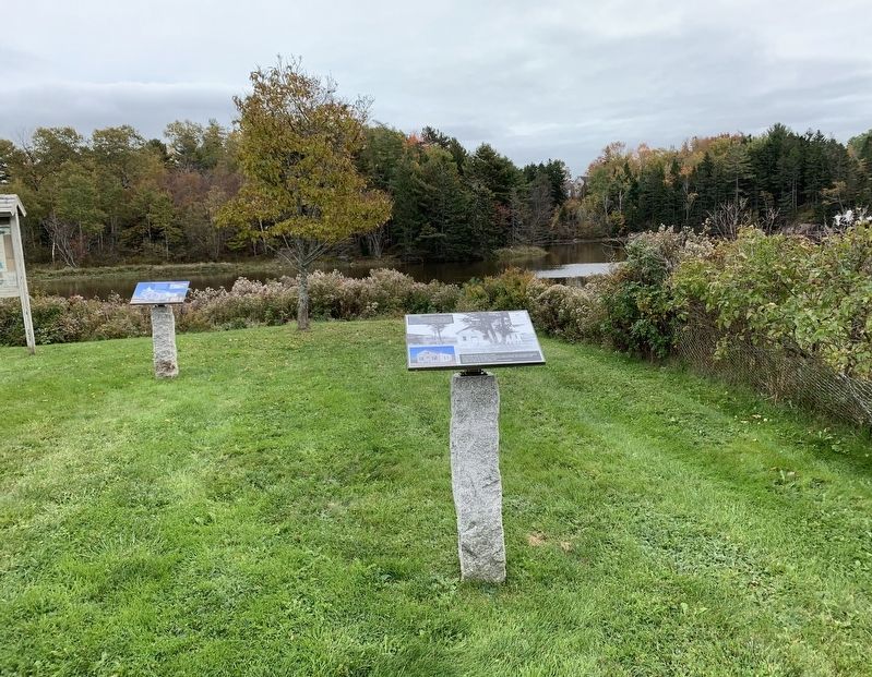
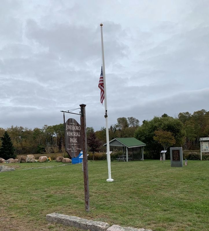
Location. 44° 39.704′ N, 67° 34.37′ W. Marker is in Jonesboro, Maine, in Washington County. Marker is at the intersection of Harrington Road (U.S. 1) and Station Road, on the right when traveling north on Harrington Road. Touch for map. Marker is in this post office area: Jonesboro ME 04648, United States of America. Touch for directions.
Other nearby markers. At least 8 other markers are within 7 miles of this marker, measured as the crow flies. Granite Quarry (here, next to this marker); Shipbuilding (here, next to this marker); Jonesboro War Memorial (a few steps from this marker); Jonesboro Union Church (a few steps from this marker); Lumber Mill (a few steps from this marker); Hannah Weston Memorial (a few steps from this marker); Hassey’s Riverside Park (about 400 feet away, measured in a direct line); World War I Memorial (approx. 6.6 miles away). Touch for a list and map of all markers in Jonesboro.
Also see . . . Jonesboro Grange No. 357 (Wikipedia). (Submitted on October 21, 2021, by Michael Herrick of Southbury, Connecticut.)
Credits. This page was last revised on October 21, 2021. It was originally submitted on October 14, 2021, by Steve Stoessel of Niskayuna, New York. This page has been viewed 160 times since then and 8 times this year. Photos: 1, 2, 3. submitted on October 14, 2021, by Steve Stoessel of Niskayuna, New York. • Michael Herrick was the editor who published this page.
Editor’s want-list for this marker. Photo of the Grange Hall. • Can you help?


