Jonesboro in Washington County, Maine — The American Northeast (New England)
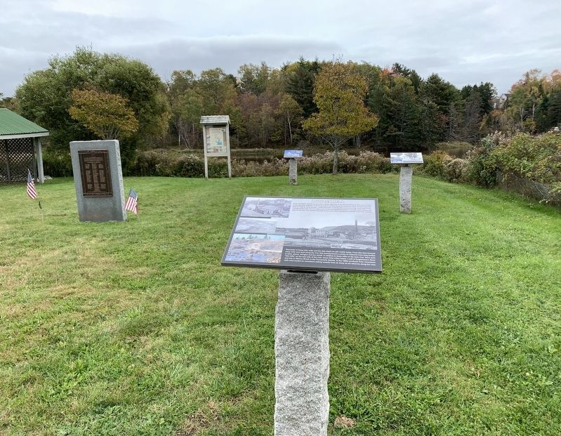
Lumber Mill
Early Jonesboro, known as Chandler's River, was one of the best timbered in the area of what is now the state of Maine. A heavy growth of old pine lined its banks for miles up and down the river. In 1764 an early pioneer, Judah Chandler, built the first sawmill on the north side of the Chandler River and cleared away some of the surrounding woods to provide open space and logs for his mill. The sawmill was built on the dam where additional sawmills were later erected.
Remnants of those later mills and the dam itself are still visible today. From this time forward many mills were built along the river that manufactured a variety of materials from long lumber to laths, staves, shingles and box shook. In addition to these mills on the main river, there were "tide mills” on the east side of the river, some three miles below: a mill at Englishman's River and one on Beaver Brook in the Farnsworth district. In the 1800s products from Jonesboro mills were loaded on Jonesboro sailing vessels from as many as six wharves along the river.
Topics. This historical marker is listed in these topic lists: Colonial Era • Industry & Commerce • Settlements & Settlers. A significant historical year for this entry is 1764.
Location. 44° 39.697′ N, 67° 34.371′ W. Marker is in Jonesboro, Maine , in Washington County. Marker is at the intersection of Harrington Toad (U.S. 1) and Station Road, on the right when traveling north on Harrington Toad. Touch for map. Marker is in this post office area: Jonesboro ME 04648, United States of America. Touch for directions.
Other nearby markers. At least 8 other markers are within 7 miles of this marker, measured as the crow flies. Granite Quarry (here, next to this marker); Jonesboro Union Church (here, next to this marker); Jonesboro War Memorial (here, next to this marker); Hannah Weston Memorial (a few steps from this marker); Shipbuilding (a few steps from this marker); Grange (a few steps from this marker); Hassey’s Riverside Park (about 400 feet away, measured in a direct line); World War I Memorial (approx. 6.6 miles away). Touch for a list and map of all markers in Jonesboro.
Credits. This page was last revised on October 21, 2021. It was originally submitted on October 14, 2021, by Steve Stoessel of Niskayuna, New York. This page has been viewed 208 times since then and 40 times this year. Photos: 1, 2. submitted on October 14, 2021, by Steve Stoessel of Niskayuna, New York. • Michael Herrick was the editor who published this page.

