Morelia, Michoacán, Mexico — The Pacific Coast (and Central Highlands)
Fray Antonio de San Miguel Road
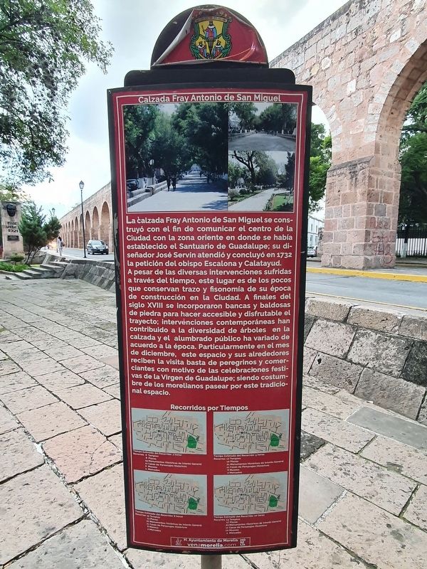
La calzada Fray Antonio de San Miguel se construyó con el fin de comunicar el centro de la Ciudad con la zona oriente en donde se había establecido el Santuario de Guadalupe; su diseñador José Servín atendió y concluyó en 1732 la petición del obispo Escalona y Calatayud. A pesar de las diversas intervenciones sufridas a través del tiempo, este lugar es de los pocos que conservan trazo y fisonomía de su época de construcción en la ciudad.
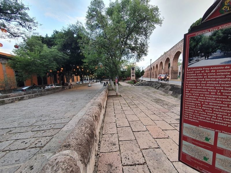
A finales del siglo XVIII se incorporaron bancas y baldosas de piedra para hacer accesible y disfrutable el trayecto; intervenciones contemporáneas han contribuido a la diversidad de árboles en la calzada y el alumbrado público ha variado de acuerdo a la época. Particularmente en el mes de diciembre, este espacio y sus alrededores reciben la visita basta de peregrinos y comerciantes con motivo de las celebraciones festivas de la Virgen de Guadalupe; siendo costum- bre de los morelianos pasear por este tradicional espacio.
Fray Antonio de San Miguel Road
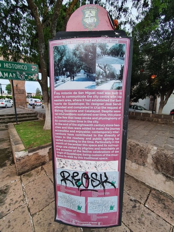
Fray Antonio de San Miguel road was built in order to communicate the city centre with the eastern area, where it had established the Santuario de Guadalupe; Its designer José Servin attended and completed in 1732 the request of Bishop Escalona and Calatayud. Despite several interventions sustained over time, this place is the few that keep stroke and physiognomy of its construction time in the city.
At the end of the eighteenth century stone benches and tiles were added to make the journey accessible and enjoyable; contemporary interventions have contributed to the diversity of trees in the roadway and public lighting has varled according to the time. Particularly in the month of December this space and its surroundings are visited by pilgrims and merchants on the occasion of the festive celebrations of the Virgin of Guadalupe; being custom of the morelianos to walk by this traditional space.
Erected by Honorable Ayuntamiento de Morelia.
Topics. This historical marker is listed in these topic lists: Churches & Religion • Colonial Era • Roads & Vehicles. A significant historical year for this entry is 1732.
Location. 19° 42.155′ N, 101° 10.919′ W. Marker is in Morelia, Michoacán. Marker is at the intersection of Route 15 and Gertrudis Bocanegra, on the right when traveling west on Route 15. Touch for map. Marker is in this post office area: Morelia MIC 58000, Mexico. Touch for directions.
Other nearby markers. At least
8 other markers are within walking distance of this marker. Aqueduct (a few steps from this marker); Friar Antonio de San Miguel (a few steps from this marker); The Our Lady of Lourdes Chapel (a few steps from this marker); Isaac Arriaga (within shouting distance of this marker); The Alley of the Romance (within shouting distance of this marker); Heroes of '47 Garden (about 120 meters away, measured in a direct line); Manuel Villalongin (about 120 meters away); Heroes of 1847 Garden (about 180 meters away). Touch for a list and map of all markers in Morelia.
Credits. This page was last revised on October 16, 2021. It was originally submitted on October 16, 2021, by J. Makali Bruton of Accra, Ghana. This page has been viewed 116 times since then and 7 times this year. Photos: 1, 2, 3. submitted on October 16, 2021, by J. Makali Bruton of Accra, Ghana.


