Near Fort Ransom in Ransom County, North Dakota — The American Midwest (Upper Plains)
An Ancient Sea / Glacial Meltwater Trench
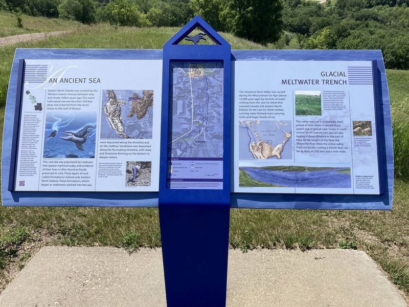
Eastern North Dakota was covered by the Western Interior Seaway between sixty and ninety million years ago. This warm subtropical sea was less than 500 feet deep and stretched from the Arctic Ocean to the Gulf of Mexico.
This vast sea was populated by creatures that appear mythical today, and evidence of their lives is often found as fossils preserved in rock. Three layers of rock (called formations) extend over eastern North Dakota. These formations, which began as sediments washed into the sea, were deposited along the shoreline and on the seafloor. Sandstone was deposited along the fluctuating shoreline, with shale and limestone forming on the bottom in deeper waters.
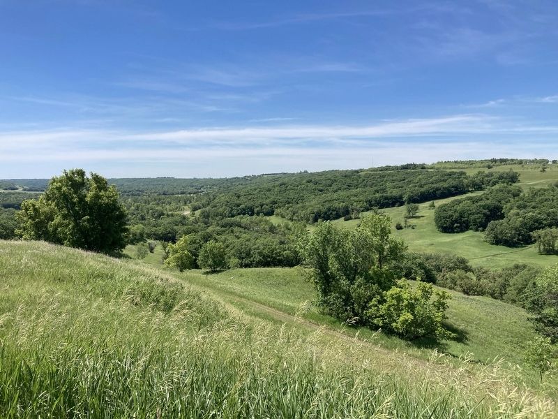
The Sheyenne River Valley was carved during the Wisconsinan Ice Age (about 13,000 years ago) by torrents of water melting from the vast ice sheet that covered Canada and eastern North Dakota. As the vast ice sheet melted, running water formed rivers carrying rocks and huge chunks of ice.
This valley was cut in a relatively short period of time when it carried flood waters out of glacial Lake Souris in north central North Dakota into glacial Lake Agassiz a short distance to the east of here. At the height of this flow, the Sheyenne River filled the entire valley from rim to rim, cutting a trench that can be as deep as 330 feet and a mile wide.
Captions:
Fossilized mosasaur vertebrae and other discoveries found in the Niobrara Formation about eight miles north of here near Little Yellowstone Park provide evidence of life forms that once inhabited the Western Interior Seaway. The Niobrara Formation created by sediment being deposited on the sea floor yields many fossils of marine animals. This shale weathers to a gold color when exposed to the elements-hence the name Little Yellowstone.
Mosasaurs were not dinosaurs--they were giant reptiles related to monitor lizards that lived in shallow seas until 65 million years ago. These powerful swimmers had long, streamlined bodies, pointed heads, and powerful tooth-laden jaws. Mosasaurs were air- breathing carnivores, they hunted and ate fish, turtles, mollusks, and shellfish.
Rock formations created millions of years ago are exposed naturally by erosion or in gravel pits and road cuts made by man. You can see portions of the Niobrara Formation (part of the ancient seafloor) along the Byway--the distinct golden color is easy to spot.
The hillsides along the Byway are covered with hundreds of boulders such as those visible on the hillside below. These rocks, called "glacial erratics," were transported from hundreds of miles to during the Wisconsinan ice Age thousands of years ago. As the glacier gradually melted away, the rocks were dropped along the hills and prairies of North Dakota.
As glacial meltwater flowed over the area, finer debris was removed and a concentration of heavier boulders were left behind.
Imagine a raging torrent of water, filling the entire valley just below your feet-the blue area in this digitally-altered photo depicts the glacial meltwater filling the valley.
Erected by Federal Highway Administration; Garrison Diversion Recreation Grant; Valley City Food & Beverage Tax Fund.
Topics. This historical marker is listed in these topic lists: Anthropology & Archaeology • Environment.
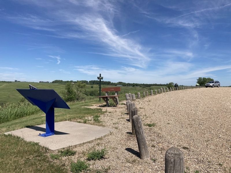
Location. 46° 33.294′ N, 97° 56.041′ W. Marker is near Fort Ransom, North Dakota, in Ransom County. Marker is on 119th Avenue SE north of Mill Road, on the left when traveling north. Located at the Sheyenne Valley Overlook. Touch for map. Marker is at or near this postal address: 5981 Walt Hjelle Pkwy, Fort Ransom ND 58033, United States of America. Touch for directions.
Other nearby markers. At least 8 other markers are within 5 miles of this marker, measured as the crow flies. Native Prairies / Ecosystem Under Siege (within shouting distance of this marker); Timber Trestle Bridge (approx. 0.4 miles away); Standing Rock Lutheran Church (approx. 0.6 miles away); Pyramid Hill / Fort Ransom’s Remarkable Survival (approx. 2.3 miles away); Fort Ransom Historic Site (approx. 2˝ miles away); Writing Rock / Native American Legends (approx. 2˝ miles away); Historic Fort Ransom / Life at the Fort (approx. 2˝ miles away); Standing Rock Hill Historic Site (approx. 4.9 miles away). Touch for a list and map of all markers in Fort Ransom.
Credits. This page was last revised on October 17, 2021. It was originally submitted on October 17, 2021, by Connor Olson of Kewaskum, Wisconsin. This page has been viewed 184 times since then and 13 times this year. Photos: 1, 2, 3. submitted on October 17, 2021, by Connor Olson of Kewaskum, Wisconsin. • Mark Hilton was the editor who published this page.


