
Shiloh in Hardin County, Tennessee — The American South (East South Central)
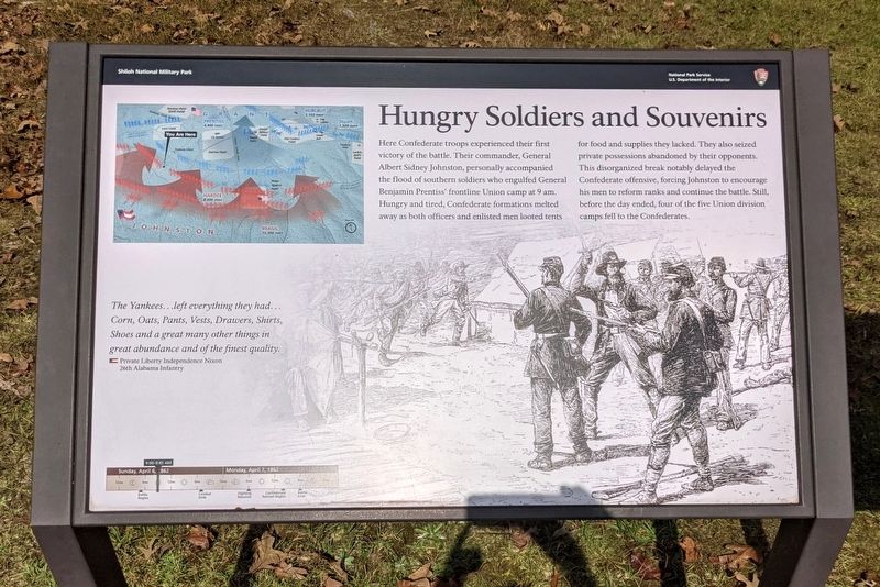
Hungry Soldiers and Souvenirs
| — | Shiloh National Military Park | — |
Photographed by Bernard Fisher, October 13, 2021
1. Hungry Soldiers and Souvenirs Marker
The Yankees...left everything they had...Corn, Oats, Pants, Vests, Drawers, Shirts, Shoes and a great many other things in great abundance and of the finest quality.
Private Liberty Independence Nixon
26th Alabama Infantry
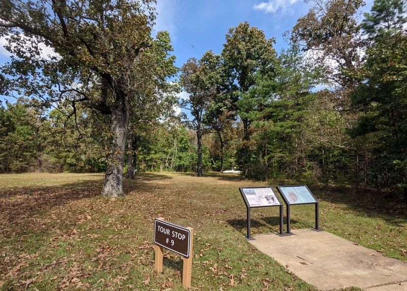
Erected by National Park Service, U.S. Department of the Interior. (Marker Number Stop 9.)
Topics. This historical marker is listed in this topic list: War, US Civil. A significant historical date for this entry is April 6, 1862.
Location. 35° 7.597′ N,
this page online

Regionally, this marker is in West Tennessee. It is also in the American South and specifically in the Upper South. Globally, it is in North America, the Western Hemisphere, the Western World, and the Anglosphere. Historically, it finds itself in what was once the territory of the Mississippian Culture, one of the Confederate States of America, and the Antebellum South.
Other nearby markers. At least 8 other markers are within walking distance of this marker: Vision for Victory (here, next to this marker); Invasion of the Union Camps (within shouting distance of this marker); 25th Missouri Infantry (within shouting distance of this marker); Camp of 25th Missouri Infantry (within shouting distance of this marker); Colonel Everett Peabody (about 300 feet away, measured in a direct line); 12th Michigan Infantry
Photographed by Bernard Fisher, October 13, 2021
2. Hungry Soldiers and Souvenirs Marker
Also see . . . Shiloh National Military Park. National Park Service (Submitted on October 17, 2021.)
Credits. This page was last revised on October 17, 2021. It was originally submitted on October 17, 2021, by Bernard Fisher of Richmond, Virginia. This page has been viewed 306 times since then and 18 times this year. Photos: 1, 2. submitted on October 17, 2021, by Bernard Fisher of Richmond, Virginia.
